Directions to Ming Sushi (New Bedford) with public transportation
The following transit lines have routes that pass near Ming Sushi
 Bus: 206, 208, 9, 203, 299.
- Train: FALL RIVER/NEW BEDFORD.
- Ferry: CUTTYHUNK FERRY.
How to get to Ming Sushi by bus?
Click on the bus route to see step by step directions with maps, line arrival times and updated time schedules.
From Charlton Memorial Hospital, Fall River
81 minFrom B.M.C. Durfee High School, Fall River
61 minFrom Bedford Industrial Park, New Bedford
59 minFrom Walmart Fall River Supercenter, Fall River
75 minFrom Amazon Fulfillment Bos7, Fall River
99 minFrom Bristol Community College, Fall River
62 minFrom Lizzy Borden House, Fall River
56 minFrom RMV New Bedford, New Bedford
57 minFrom Falmouth MA USA, Falmouth
95 minFrom Mass Maritime Academy, Buzzards Bay
122 min
How to get to Ming Sushi by train?
Click on the train route to see step by step directions with maps, line arrival times and updated time schedules.
Bus stops near Ming Sushi in New Bedford
Train station near Ming Sushi in New Bedford
- Church Street, 46 min walk,VIEW
Ferry stations near Ming Sushi in New Bedford
Bus lines to Ming Sushi in New Bedford
What are the closest stations to Ming Sushi?
The closest stations to Ming Sushi are:
- Union St And Ash St is 89 yards away, 2 min walk.
- Kempton St And Cedar St is 120 yards away, 2 min walk.
- Mill St And Cedar St is 192 yards away, 3 min walk.
- Cottage St And Kempton St is 241 yards away, 3 min walk.
- Church Street is 3903 yards away, 46 min walk.
- Cuttyhunk Ferry Pier, New Bedford, MA is 3972 yards away, 47 min walk.
- New Bedford, MA is 4065 yards away, 48 min walk.
Which bus lines stop near Ming Sushi?
These bus lines stop near Ming Sushi: 206, 208, 9.
Which train line stops near Ming Sushi?
FALL RIVER/NEW BEDFORD (#2011 | New Bedford)
What’s the nearest bus station to Ming Sushi in New Bedford?
The nearest bus stations to Ming Sushi in New Bedford are Union St And Ash St and Kempton St And Cedar St. The closest one is a 2 min walk away.
What time is the first train to Ming Sushi in New Bedford?
The FALL RIVER/NEW BEDFORD is the first train that goes to Ming Sushi in New Bedford. It stops nearby at 4:16 AM.
What time is the last train to Ming Sushi in New Bedford?
The FALL RIVER/NEW BEDFORD is the last train that goes to Ming Sushi in New Bedford. It stops nearby at 1:38 AM.
What time is the first bus to Ming Sushi in New Bedford?
The 210 is the first bus that goes to Ming Sushi in New Bedford. It stops nearby at 5:47 AM.
What time is the last bus to Ming Sushi in New Bedford?
The 9 is the last bus that goes to Ming Sushi in New Bedford. It stops nearby at 9:55 PM.
What time is the first ferry to Ming Sushi in New Bedford?
The SEASTREAK is the first ferry that goes to Ming Sushi in New Bedford. It stops nearby at 8:20 AM.
What time is the last ferry to Ming Sushi in New Bedford?
The SEASTREAK is the last ferry that goes to Ming Sushi in New Bedford. It stops nearby at 8:40 PM.
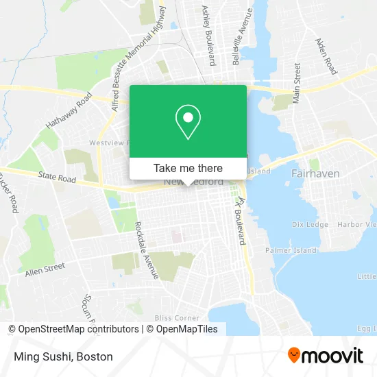
See Ming Sushi, New Bedford, on the map
Public Transit to Ming Sushi in New Bedford
Wondering how to get to Ming Sushi in New Bedford? Moovit helps you find the best way to get to Ming Sushi with step-by-step directions from the nearest public transit station.
Moovit provides free maps and live directions to help you navigate through your city. View schedules, routes, timetables, and find out how long does it take to get to Ming Sushi in real time.
Looking for the nearest stop or station to Ming Sushi? Check out this list of stops closest to your destination: Union St And Ash St; Kempton St And Cedar St; Mill St And Cedar St; Cottage St And Kempton St; Church Street; Cuttyhunk Ferry Pier; New Bedford, MA.
Bus: 206, 208, 9, 203, 299, 210.Train: FALL RIVER/NEW BEDFORD.Ferry: CUTTYHUNK FERRY.
Want to see if there’s another route that gets you there at an earlier time? Moovit helps you find alternative routes or times. Get directions from and directions to Ming Sushi easily from the Moovit App or Website.
We make riding to Ming Sushi easy, which is why over 1.7 million users, including users in New Bedford, trust Moovit as the best app for public transit. You don’t need to download an individual bus app or train app, Moovit is your all-in-one transit app that helps you find the best bus time or train time available.
For information on prices of bus and train, costs and ride fares to Ming Sushi, please check the Moovit app.
Use the app to navigate to popular places including to the airport, hospital, stadium, grocery store, mall, coffee shop, school, college, and university.
Ming Sushi Address: 774 Purchase St street in New Bedford
- Dro Masonry Services,
- Pro-Manner Cleaning,
- Temple Landing,
- EWB,
- United House of Prayer for All People,
- Zoey's Flower Box,
- Nemed,
- Sgt WM H Carney Academy,
- Kyme Pajibo,
- Pace Housing Services,
- Kristine Costa,
- Tooth Guru,
- Manners for Life Dog Training,
- Cuttyhunk Island,
- Spooner Kim LMHC,
- Jasmyne Allure,
- Divinity 648 Tarot & Mediumship Readings,
- Handyman of DC,
- Roman Catholic Diocese of Fall River Office of Aids Ministr,
- New Bedford Schools
Places Near Ming Sushi (New Bedford)
- Leader Bank Pavilion (Leader Bank Pavillion), Boston,
- Boston Common, Boston,
- House Of Blues, Boston,
- Wilbur Theatre, Boston,
- Massachusetts General Hospital, Boston,
- Quincy Market, Boston,
- Boston Children's Hospital, Boston,
- Mgm Music Hall, Boston,
- Faneuil Hall, Boston,
- Prudential Center, Boston,
- Wang Theater, Boston,
- North End, Boston,
- Museum Of Science, Boston,
- Boston Medical Center, Boston,
- Boston Convention & Exhibition Center, Boston,
- Castle Island, Boston,
- Td Garden, Boston,
- Cheers, Boston,
- Seaport District, Boston,
- Isabella Stewart Gardner Museum, Boston
How to get to popular places in Boston with public transit
Get around New Bedford by public transit!
Traveling around New Bedford has never been so easy. See step by step directions as you travel to any attraction, street or major public transit station. View bus and train schedules, arrival times, service alerts and detailed routes on a map, so you know exactly how to get to anywhere in New Bedford.
When traveling to any destination around New Bedford use Moovit's Live Directions with Get Off Notifications to know exactly where and how far to walk, how long to wait for your line, and how many stops are left. Moovit will alert you when it's time to get off — no need to constantly re-check whether yours is the next stop.
Wondering how to use public transit in New Bedford or how to pay for public transit in New Bedford? Moovit public transit app can help you navigate your way with public transit easily, and at minimum cost. It includes public transit fees, ticket prices, and costs. Looking for a map of New Bedford public transit lines? Moovit public transit app shows all public transit maps in New Bedford with all Bus, Train, Subway and Ferry routes and stops on an interactive map.
Boston has 4 transit type(s), including: Bus, Train, Subway and Ferry, operated by several transit agencies, including MBTA, Southeastern Regional Transit Authority, MetroWest Regional Transit Authority, Rhode Island Public Transit Authority, WRTA, Lowell Regional Transit Authority, Merrimack Valley Transit, Montachusett Regional Transit Authority, Cape Cod Regional Transit Authority, Brockton Area Transit Authority, Martha's Vineyard Transit Authority, the WAVE - Nantucket Regional Transit Authority, GATRA, Cape Ann Transportation Authority and Massport