How to get to Minute Key by bus?
Click on the bus route to see step by step directions with maps, line arrival times and updated time schedules.
From Constitution Beach, Boston
109 minFrom Medford, MA, Medford
68 minFrom 7F Everett Street, Revere
78 minFrom Liberty Tree Mall, Danvers
111 minFrom Costco, Everett
70 minFrom LEGOLAND Discovery Center Boston, Somerville
92 minFrom North Shore Community College Lynn, Lynn
53 minFrom Assembly Square Mall Shopping Center, Somerville
97 minFrom Massport Bus 77 Chelsea Employee Parking, Chelsea
78 minFrom Hampton Inn Boston Logan Airport Chelsea, Chelsea
70 min
Bus stop near Minute Key in Saugus
- Summer St @ Appleton St, 22 min walk,VIEW
Bus lines to Minute Key in Saugus
- 430, Malden Via Square One Mall & Kennedy Dr,VIEW
What are the closest stations to Minute Key?
The closest stations to Minute Key are:
- Summer St @ Appleton St is 1803 yards away, 22 min walk.
Which bus lines stop near Minute Key?
These bus lines stop near Minute Key: 429, 430.
What time is the first bus to Minute Key in Saugus?
The 430 is the first bus that goes to Minute Key in Saugus. It stops nearby at 6:41 AM.
What time is the last bus to Minute Key in Saugus?
The 430 is the last bus that goes to Minute Key in Saugus. It stops nearby at 10:13 PM.
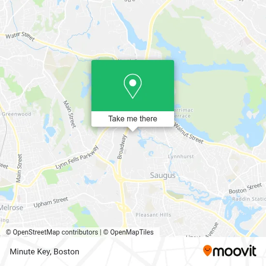
See Minute Key, Saugus, on the map
Public Transit to Minute Key in Saugus
Wondering how to get to Minute Key in Saugus? Moovit helps you find the best way to get to Minute Key with step-by-step directions from the nearest public transit station.
Moovit provides free maps and live directions to help you navigate through your city. View schedules, routes, timetables, and find out how long does it take to get to Minute Key in real time.
Looking for the nearest stop or station to Minute Key? Check out this list of stops closest to your destination: Summer St @ Appleton St.
Bus: 429, 430.
Want to see if there’s another route that gets you there at an earlier time? Moovit helps you find alternative routes or times. Get directions from and directions to Minute Key easily from the Moovit App or Website.
We make riding to Minute Key easy, which is why over 1.7 million users, including users in Saugus, trust Moovit as the best app for public transit. You don’t need to download an individual bus app or train app, Moovit is your all-in-one transit app that helps you find the best bus time or train time available.
For information on prices of bus and subway, costs and ride fares to Minute Key, please check the Moovit app.
Use the app to navigate to popular places including to the airport, hospital, stadium, grocery store, mall, coffee shop, school, college, and university.
Minute Key Address: 564 Broadway street in Saugus
- Burger King,
- Target Store Saugus,
- Walmart,
- Target,
- Walmart Supercenter,
- O'Brien & McKenney Property Improvement Services,
- Giggles Comedy Club,
- GH Towing & Transportation,
- Unique Property Services,
- D&M Quality Masonry,
- Window Depot USA Boston,
- Holiday Inn Express-Saugus,
- Xfinity Store by Comcast Branded Partner,
- Crumbl Cookies,
- Tci Worldwide Services,
- New Charm Spa and Salon,
- Cileimmar,
- Clarity Debt Solutions,
- FedEx,
- Quick Garage Door Repair
Places Near Minute Key (Saugus)
- Prudential Center, Boston,
- Boston Children's Hospital, Boston,
- Museum Of Science, Boston,
- Seaport District, Boston,
- Boston Convention & Exhibition Center, Boston,
- Cheers, Boston,
- Leader Bank Pavilion (Leader Bank Pavillion), Boston,
- Mgm Music Hall, Boston,
- Castle Island, Boston,
- Isabella Stewart Gardner Museum, Boston,
- House Of Blues, Boston,
- Boston Common, Boston,
- Wilbur Theatre, Boston,
- Td Garden, Boston,
- Massachusetts General Hospital, Boston,
- Wang Theater, Boston,
- Faneuil Hall, Boston,
- North End, Boston,
- Boston Medical Center, Boston,
- Quincy Market, Boston
How to get to popular places in Boston with public transit
Get around Saugus by public transit!
Traveling around Saugus has never been so easy. See step by step directions as you travel to any attraction, street or major public transit station. View bus and train schedules, arrival times, service alerts and detailed routes on a map, so you know exactly how to get to anywhere in Saugus.
When traveling to any destination around Saugus use Moovit's Live Directions with Get Off Notifications to know exactly where and how far to walk, how long to wait for your line, and how many stops are left. Moovit will alert you when it's time to get off — no need to constantly re-check whether yours is the next stop.
Wondering how to use public transit in Saugus or how to pay for public transit in Saugus? Moovit public transit app can help you navigate your way with public transit easily, and at minimum cost. It includes public transit fees, ticket prices, and costs. Looking for a map of Saugus public transit lines? Moovit public transit app shows all public transit maps in Saugus with all Bus, Train, Subway and Ferry routes and stops on an interactive map.
Boston has 4 transit type(s), including: Bus, Train, Subway and Ferry, operated by several transit agencies, including MBTA, Southeastern Regional Transit Authority, MetroWest Regional Transit Authority, Rhode Island Public Transit Authority, WRTA, Lowell Regional Transit Authority, Merrimack Valley Transit, Montachusett Regional Transit Authority, Cape Cod Regional Transit Authority, Brockton Area Transit Authority, Martha's Vineyard Transit Authority, the WAVE - Nantucket Regional Transit Authority, GATRA, Cape Ann Transportation Authority and Massport