Directions to Mit Endicott House (Dedham) with public transportation
The following transit lines have routes that pass near Mit Endicott House
 Bus: 34E, 52.
- Train: FRANKLIN/FOXBORO, NEEDHAM, FOXBORO EVENT SERVICE.
How to get to Mit Endicott House by bus?
Click on the bus route to see step by step directions with maps, line arrival times and updated time schedules.
From Roslindale, Boston
49 minFrom Conte Forum, Boston
125 minFrom Beth Israel Deaconess Hospital-Milton, Milton
89 minFrom Samuel Adams Brewery, Boston
64 minFrom Milton Academy, Milton
98 minFrom Sam Adams Boston Brewery Tour, Boston
64 minFrom Newton-Wellesley Hospital, Newton
138 minFrom Franklin Park, Boston
64 minFrom the mall at rockingham park mall, Boston
109 min
How to get to Mit Endicott House by train?
Click on the train route to see step by step directions with maps, line arrival times and updated time schedules.
Train stations near Mit Endicott House in Dedham
What are the closest stations to Mit Endicott House?
The closest stations to Mit Endicott House are:
- Hersey is 972 yards away, 12 min walk.
- Dedham Corporate Center is 4321 yards away, 51 min walk.
Which bus lines stop near Mit Endicott House?
These bus lines stop near Mit Endicott House: 34E, 52.
Which train lines stop near Mit Endicott House?
These train lines stop near Mit Endicott House: FRANKLIN/FOXBORO, NEEDHAM.
What’s the nearest train station to Mit Endicott House in Dedham?
The nearest train station to Mit Endicott House in Dedham is Hersey. It’s a 12 min walk away.
What time is the first train to Mit Endicott House in Dedham?
The NEEDHAM is the first train that goes to Mit Endicott House in Dedham. It stops nearby at 7:16 AM.
What time is the last train to Mit Endicott House in Dedham?
The NEEDHAM is the last train that goes to Mit Endicott House in Dedham. It stops nearby at 6:24 PM.
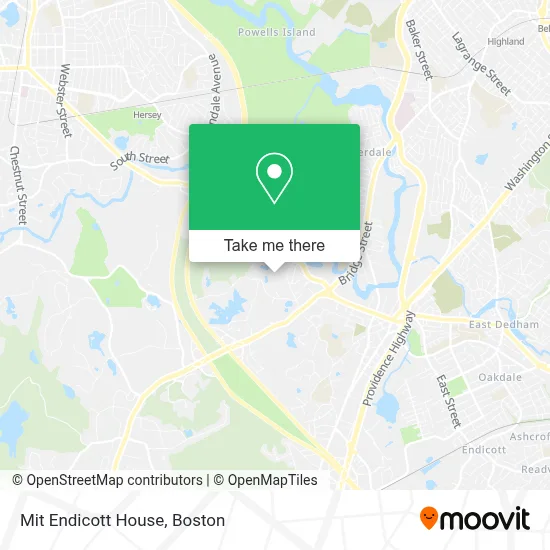
See Mit Endicott House, Dedham, on the map
Public Transit to Mit Endicott House in Dedham
Wondering how to get to Mit Endicott House in Dedham? Moovit helps you find the best way to get to Mit Endicott House with step-by-step directions from the nearest public transit station.
Moovit provides free maps and live directions to help you navigate through your city. View schedules, routes, timetables, and find out how long does it take to get to Mit Endicott House in real time.
Looking for the nearest stop or station to Mit Endicott House? Check out this list of stops closest to your destination: Hersey; Dedham Corporate Center.
Bus: 34E, 52.Train: FRANKLIN/FOXBORO, NEEDHAM, FOXBORO EVENT SERVICE.
Want to see if there’s another route that gets you there at an earlier time? Moovit helps you find alternative routes or times. Get directions from and directions to Mit Endicott House easily from the Moovit App or Website.
We make riding to Mit Endicott House easy, which is why over 1.7 million users, including users in Dedham, trust Moovit as the best app for public transit. You don’t need to download an individual bus app or train app, Moovit is your all-in-one transit app that helps you find the best bus time or train time available.
For information on prices of bus, subway and train, costs and ride fares to Mit Endicott House, please check the Moovit app.
Use the app to navigate to popular places including to the airport, hospital, stadium, grocery store, mall, coffee shop, school, college, and university.
Mit Endicott House Address: 80 Haven St street in Dedham
- Noble And Greenough School,
- Harding-Lane,
- Northeastern University Dedham Campus,
- Ursuline Academy,
- Jack Audy,
- Roeli Rudolph,
- Simply XML,
- Flagship Motors,
- New Bridge On The Charles,
- Newbridge on the Charles (New Bridge on the Charles Independent Living),
- Newbridge on the Charles Public Access,
- Bay State Learning Center (BSLC),
- 1800gotjunk,
- Ryan W Anderson Taxes,
- Able Roof,
- Empire Building & Development,
- Crowley,
- Scofield General Services,
- Amazon Fulfillment Center-DBO2,
- The Rashi School
Places Near Mit Endicott House (Dedham)
- Prudential Center, Boston,
- Wilbur Theatre, Boston,
- Mgm Music Hall, Boston,
- North End, Boston,
- Td Garden, Boston,
- Boston Children's Hospital, Boston,
- Seaport District, Boston,
- Cheers, Boston,
- Castle Island, Boston,
- Boston Convention & Exhibition Center, Boston,
- Massachusetts General Hospital, Boston,
- House Of Blues, Boston,
- Isabella Stewart Gardner Museum, Boston,
- Boston Common, Boston,
- Wang Theater, Boston,
- Boston Medical Center, Boston,
- Leader Bank Pavilion (Leader Bank Pavillion), Boston,
- Faneuil Hall, Boston,
- Museum Of Science, Boston,
- Quincy Market, Boston
How to get to popular places in Boston with public transit
Get around Dedham by public transit!
Traveling around Dedham has never been so easy. See step by step directions as you travel to any attraction, street or major public transit station. View bus and train schedules, arrival times, service alerts and detailed routes on a map, so you know exactly how to get to anywhere in Dedham.
When traveling to any destination around Dedham use Moovit's Live Directions with Get Off Notifications to know exactly where and how far to walk, how long to wait for your line, and how many stops are left. Moovit will alert you when it's time to get off — no need to constantly re-check whether yours is the next stop.
Wondering how to use public transit in Dedham or how to pay for public transit in Dedham? Moovit public transit app can help you navigate your way with public transit easily, and at minimum cost. It includes public transit fees, ticket prices, and costs. Looking for a map of Dedham public transit lines? Moovit public transit app shows all public transit maps in Dedham with all Bus, Train, Subway and Ferry routes and stops on an interactive map.
Boston has 4 transit type(s), including: Bus, Train, Subway and Ferry, operated by several transit agencies, including MBTA, Southeastern Regional Transit Authority, MetroWest Regional Transit Authority, Rhode Island Public Transit Authority, WRTA, Lowell Regional Transit Authority, Merrimack Valley Transit, Montachusett Regional Transit Authority, Cape Cod Regional Transit Authority, Brockton Area Transit Authority, Martha's Vineyard Transit Authority, the WAVE - Nantucket Regional Transit Authority, GATRA, Cape Ann Transportation Authority and Massport