Directions to Modutank Inc. (Queens) with public transportation
The following transit lines have routes that pass near Modutank Inc.
 Bus: Q101, Q32, Q66, Q104.
- Train: FAR ROCKAWAY BRANCH, LONG BEACH BRANCH, PORT WASHINGTON BRANCH, RONKONKOMA BRANCH.
- Subway: M, R, E, F, N.
How to get to Modutank Inc. by bus?
Click on the bus route to see step by step directions with maps, line arrival times and updated time schedules.
From DoubleTree by Hilton New York Downtown, Manhattan
75 minFrom Mcsorley's Old Ale House, Manhattan
63 minFrom 1910 monterey avenue, Bronx
87 minFrom Guggenheim Museum, Manhattan
89 minFrom Shubert Theatre, Manhattan
61 minFrom Newport Mall, Jersey City
92 minFrom Walmart, North Bergen
111 minFrom JP Morgan Chase Co., Jersey City
88 min
How to get to Modutank Inc. by train?
Click on the train route to see step by step directions with maps, line arrival times and updated time schedules.
From DoubleTree by Hilton New York Downtown, Manhattan
114 minFrom JP Morgan Chase Co., Jersey City
74 minFrom Mcsorley's Old Ale House, Manhattan
75 minFrom 1910 monterey avenue, Bronx
84 minFrom Guggenheim Museum, Manhattan
70 minFrom Shubert Theatre, Manhattan
54 minFrom Newport Mall, Jersey City
76 min
How to get to Modutank Inc. by subway?
Click on the subway route to see step by step directions with maps, line arrival times and updated time schedules.
Bus stops near Modutank Inc. in Queens
Bus lines to Modutank Inc. in Queens
What are the closest stations to Modutank Inc.?
The closest stations to Modutank Inc. are:
- 35 Av/Steinway St is 52 yards away, 1 min walk.
- Steinway St/35 Av is 93 yards away, 2 min walk.
- Broadway/Steinway St is 427 yards away, 5 min walk.
- Steinway St is 577 yards away, 7 min walk.
- 36 Av is 913 yards away, 11 min walk.
Which bus lines stop near Modutank Inc.?
These bus lines stop near Modutank Inc.: Q101, Q32.
Which train lines stop near Modutank Inc.?
These train lines stop near Modutank Inc.: FAR ROCKAWAY BRANCH, LONG BEACH BRANCH, PORT WASHINGTON BRANCH, RONKONKOMA BRANCH.
Which subway lines stop near Modutank Inc.?
These subway lines stop near Modutank Inc.: M, R.
What’s the nearest subway station to Modutank Inc. in Queens?
The nearest subway station to Modutank Inc. in Queens is Steinway St. It’s a 7 min walk away.
What’s the nearest bus station to Modutank Inc. in Queens?
The nearest bus station to Modutank Inc. in Queens is 35 Av/Steinway St. It’s a 1 min walk away.
What time is the first subway to Modutank Inc. in Queens?
The E is the first subway that goes to Modutank Inc. in Queens. It stops nearby at 3:00 AM.
What time is the last subway to Modutank Inc. in Queens?
The F is the last subway that goes to Modutank Inc. in Queens. It stops nearby at 3:48 AM.
What time is the first bus to Modutank Inc. in Queens?
The Q101 is the first bus that goes to Modutank Inc. in Queens. It stops nearby at 3:11 AM.
What time is the last bus to Modutank Inc. in Queens?
The Q66 is the last bus that goes to Modutank Inc. in Queens. It stops nearby at 3:17 AM.
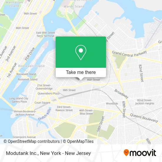
See Modutank Inc., Queens, on the map
Public Transit to Modutank Inc. in Queens
Wondering how to get to Modutank Inc. in Queens? Moovit helps you find the best way to get to Modutank Inc. with step-by-step directions from the nearest public transit station.
Moovit provides free maps and live directions to help you navigate through your city. View schedules, routes, timetables, and find out how long does it take to get to Modutank Inc. in real time.
Looking for the nearest stop or station to Modutank Inc.? Check out this list of stops closest to your destination: 35 Av/Steinway St; Steinway St/35 Av; Broadway/Steinway St; Steinway St; 36 Av.
Bus: Q101, Q32, Q66, Q104.Train: FAR ROCKAWAY BRANCH, LONG BEACH BRANCH, PORT WASHINGTON BRANCH, RONKONKOMA BRANCH.Subway: M, R, E, F, N, W.
Want to see if there’s another route that gets you there at an earlier time? Moovit helps you find alternative routes or times. Get directions from and directions to Modutank Inc. easily from the Moovit App or Website.
We make riding to Modutank Inc. easy, which is why over 1.5 million users, including users in Queens, trust Moovit as the best app for public transit. You don’t need to download an individual bus app or train app, Moovit is your all-in-one transit app that helps you find the best bus time or train time available.
For information on prices of subway, bus and train, costs and ride fares to Modutank Inc., please check the Moovit app.
Use the app to navigate to popular places including to the airport, hospital, stadium, grocery store, mall, coffee shop, school, college, and university.
Modutank Inc. Address: 41-04 35th Ave street in Queens
- Soft Bubbles Laundromat Dry Cleaner,
- Los Perros De Chucho,
- Goda Contracting Group,
- Bubble Sharks,
- Astoria Poker Club,
- Metro,
- Us Army Recruiting Long Island City Office,
- Cw Custom Inc,
- S-Line Autoworks,
- Shaw Auto Repair Inc.,
- Xl35 Music Hall,
- Furry Planet Spa,
- Bethel International Ministries Church,
- Vida Spa,
- B&E Lash Studio,
- Gold's Gym,
- Proactive House,Llc,
- S-Line Autoworks,
- Nutcrackers Delivery,
- Piccolo Nails
Places Near Modutank Inc. (Queens)
- Rockefeller Center, Manhattan,
- Queens Center Mall, Queens,
- Pier 83, Manhattan,
- 1 Police Plaza, Manhattan,
- SoHo, Manhattan,
- Chinatown, Manhattan,
- qqqq, Manhattan,
- 26 Federal Plaza, Manhattan,
- Bellevue Hospital, Manhattan,
- Mountainside Hospital, Glen Ridge,
- San Gennaro Feast, Manhattan,
- 376 Hudson Street, Manhattan,
- Katz's Deli, Manhattan,
- 66 John Street, Manhattan,
- 911 Memorial, Manhattan,
- 111 Centre New York City Supreme Court, Manhattan,
- Hudson Yards, Manhattan,
- Times Square, Manhattan,
- 3 Stone St, Manhattan,
- Wall Street, Manhattan
How to get to popular places in New York - New Jersey with public transit
Get around Queens by public transit!
Traveling around Queens has never been so easy. See step by step directions as you travel to any attraction, street or major public transit station. View bus and train schedules, arrival times, service alerts and detailed routes on a map, so you know exactly how to get to anywhere in Queens.
When traveling to any destination around Queens use Moovit's Live Directions with Get Off Notifications to know exactly where and how far to walk, how long to wait for your line, and how many stops are left. Moovit will alert you when it's time to get off — no need to constantly re-check whether yours is the next stop.
Wondering how to use public transit in Queens or how to pay for public transit in Queens? Moovit public transit app can help you navigate your way with public transit easily, and at minimum cost. It includes public transit fees, ticket prices, and costs. Looking for a map of Queens public transit lines? Moovit public transit app shows all public transit maps in Queens with all Bus, Train, Subway, Light Rail, Ferry and Cable Car routes and stops on an interactive map.
New York - New Jersey has 6 transit type(s), including: Bus, Train, Subway, Light Rail, Ferry and Cable Car, operated by several transit agencies, including MTA Subway, Metro-North Railroad, LIRR, PATH, MTA New York City Transit - Express routes, MTA Bus, NJ Transit, NYC Ferry, NICE bus, Bee-Line Bus, NJ Transit Rail, Norwalk Transit District, Hartford Line, River Valley Transit and HART