Directions to Mom (Boston) with public transportation
The following transit lines have routes that pass near Mom
 Bus: 12, 14.
- Train: PROVIDENCE/STOUGHTON.
How to get to Mom by bus?
Click on the bus route to see step by step directions with maps, line arrival times and updated time schedules.
From South Shore Plaza Mbta Bus Stop, Braintree Town
69 minFrom South Shore Plaza, Braintree Town
75 minFrom Brockton, MA, Brockton
65 minFrom Dolphin Day Surgery Waiting Area, Weymouth Town
141 minFrom Massasoit Community College, Brockton
85 minFrom South Shore Hospital Outpatient Center, Weymouth Town
139 minFrom South Shore Hospital- Pratt 5, Weymouth Town
144 min
Train station near Mom in Boston
- Stoughton, 54 min walk,VIEW
What are the closest stations to Mom?
The closest stations to Mom are:
- Stoughton is 4589 yards away, 54 min walk.
Which bus lines stop near Mom?
These bus lines stop near Mom: 12, 14.
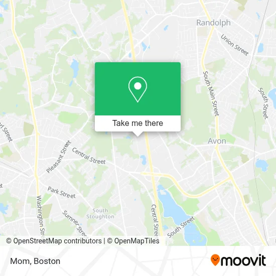
See Mom, Boston, on the map
Public Transit to Mom in Boston
Wondering how to get to Mom in Boston? Moovit helps you find the best way to get to Mom with step-by-step directions from the nearest public transit station.
Moovit provides free maps and live directions to help you navigate through your city. View schedules, routes, timetables, and find out how long does it take to get to Mom in real time.
Looking for the nearest stop or station to Mom? Check out this list of stops closest to your destination: Stoughton.
Bus: 12, 14.Train: PROVIDENCE/STOUGHTON.
Want to see if there’s another route that gets you there at an earlier time? Moovit helps you find alternative routes or times. Get directions from and directions to Mom easily from the Moovit App or Website.
We make riding to Mom easy, which is why over 1.7 million users, including users in Boston, trust Moovit as the best app for public transit. You don’t need to download an individual bus app or train app, Moovit is your all-in-one transit app that helps you find the best bus time or train time available.
For information on prices of bus and train, costs and ride fares to Mom, please check the Moovit app.
Use the app to navigate to popular places including to the airport, hospital, stadium, grocery store, mall, coffee shop, school, college, and university.
Mom Address: 100 Stockwell Dr street in Boston
- Enchanted Village,
- Jordan's Furniture,
- IKEA (IKEA - Stoughton),
- IKEA Stoughton,
- Ikea,
- The Home Depot,
- W M Recycling,
- PPG Industries (PPG Aerospace),
- Bayside Trucks,
- Micro Video Instruments,
- Motor Control Power Distribution Process Control Distributor,
- Wh Glancy & Sons,
- New Balance Factory Store,
- Parker Professional Driving School,
- National Floors Direct,
- Freeman Decorating Services (Freeman Expositions),
- Symmons Industries,
- Standard Register,
- Kamco Supply Corp.,
- 1151 Turnpike St
Places Near Mom (Boston)
- Wang Theater, Boston,
- Isabella Stewart Gardner Museum, Boston,
- Td Garden, Boston,
- Faneuil Hall, Boston,
- Seaport District, Boston,
- Boston Medical Center, Boston,
- North End, Boston,
- Wilbur Theatre, Boston,
- Mgm Music Hall, Boston,
- Castle Island, Boston,
- Quincy Market, Boston,
- Boston Children's Hospital, Boston,
- House Of Blues, Boston,
- Prudential Center, Boston,
- Boston Common, Boston,
- Boston Convention & Exhibition Center, Boston,
- Leader Bank Pavilion (Leader Bank Pavillion), Boston,
- Massachusetts General Hospital, Boston,
- Cheers, Boston,
- Museum Of Science, Boston
How to get to popular places in Boston with public transit
Get around Boston by public transit!
Traveling around Boston has never been so easy. See step by step directions as you travel to any attraction, street or major public transit station. View bus and train schedules, arrival times, service alerts and detailed routes on a map, so you know exactly how to get to anywhere in Boston.
When traveling to any destination around Boston use Moovit's Live Directions with Get Off Notifications to know exactly where and how far to walk, how long to wait for your line, and how many stops are left. Moovit will alert you when it's time to get off — no need to constantly re-check whether yours is the next stop.
Wondering how to use public transit in Boston or how to pay for public transit in Boston? Moovit public transit app can help you navigate your way with public transit easily, and at minimum cost. It includes public transit fees, ticket prices, and costs. Looking for a map of Boston public transit lines? Moovit public transit app shows all public transit maps in Boston with all Bus, Train, Subway and Ferry routes and stops on an interactive map.
Boston has 4 transit type(s), including: Bus, Train, Subway and Ferry, operated by several transit agencies, including MBTA, Southeastern Regional Transit Authority, MetroWest Regional Transit Authority, Rhode Island Public Transit Authority, WRTA, Lowell Regional Transit Authority, Merrimack Valley Transit, Montachusett Regional Transit Authority, Cape Cod Regional Transit Authority, Brockton Area Transit Authority, Martha's Vineyard Transit Authority, the WAVE - Nantucket Regional Transit Authority, GATRA, Cape Ann Transportation Authority and Massport