How to get to Montrose School by bus?
Click on the bus route to see step by step directions with maps, line arrival times and updated time schedules.
From Woburn, MA, Woburn
101 minFrom Lynn, MA, Lynn
126 minFrom 200 Trade Center, Woburn
124 minFrom Middlesex Superior Court, Woburn
124 minFrom Four Points by Sheraton Boston Logan Airport, Revere
117 minFrom Malden, MA, Malden
46 minFrom Holiday Inn Express-Saugus, Saugus
90 minFrom GE Aviation, Lynn
127 min
How to get to Montrose School by train?
Click on the train route to see step by step directions with maps, line arrival times and updated time schedules.
Bus stop near Montrose School in Wakefield
- Vernon St @ Lowell St, 17 min walk,VIEW
Train station near Montrose School in Wakefield
- Reading, 59 min walk,VIEW
Bus lines to Montrose School in Wakefield
- 137, Reading Depot,VIEW
What are the closest stations to Montrose School?
The closest stations to Montrose School are:
- Vernon St @ Lowell St is 1390 yards away, 17 min walk.
- Reading is 5022 yards away, 59 min walk.
Which bus line stops near Montrose School?
137 (Reading Depot)
Which train line stops near Montrose School?
HAVERHILL (#235 | Haverhill)
What time is the first train to Montrose School in Wakefield?
The HAVERHILL is the first train that goes to Montrose School in Wakefield. It stops nearby at 5:18 AM.
What time is the last train to Montrose School in Wakefield?
The HAVERHILL is the last train that goes to Montrose School in Wakefield. It stops nearby at 12:13 AM.
What time is the first bus to Montrose School in Wakefield?
The 137 is the first bus that goes to Montrose School in Wakefield. It stops nearby at 5:14 AM.
What time is the last bus to Montrose School in Wakefield?
The 137 is the last bus that goes to Montrose School in Wakefield. It stops nearby at 10:23 PM.
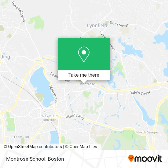
See Montrose School, Wakefield, on the map
Public Transit to Montrose School in Wakefield
Wondering how to get to Montrose School in Wakefield? Moovit helps you find the best way to get to Montrose School with step-by-step directions from the nearest public transit station.
Moovit provides free maps and live directions to help you navigate through your city. View schedules, routes, timetables, and find out how long does it take to get to Montrose School in real time.
Looking for the nearest stop or station to Montrose School? Check out this list of stops closest to your destination: Vernon St @ Lowell St; Reading.
Bus: 137.Train: HAVERHILL.
Want to see if there’s another route that gets you there at an earlier time? Moovit helps you find alternative routes or times. Get directions from and directions to Montrose School easily from the Moovit App or Website.
We make riding to Montrose School easy, which is why over 1.7 million users, including users in Wakefield, trust Moovit as the best app for public transit. You don’t need to download an individual bus app or train app, Moovit is your all-in-one transit app that helps you find the best bus time or train time available.
For information on prices of bus, train and subway, costs and ride fares to Montrose School, please check the Moovit app.
Use the app to navigate to popular places including to the airport, hospital, stadium, grocery store, mall, coffee shop, school, college, and university.
Montrose School Address: 531 Lowell St street in Wakefield
- Disneyland Adventures,
- PrintGraphics, Inc.,
- Lombardi Hair Design,
- Bay State Foot & Ankle,
- Medford Automatic Transmission,
- Skin Glow Esthetics,
- H.I.T. Custom Printing,
- RFB Enterprises,
- Wakefield Cub Scouts, Pack 712,
- Happy Hearts Preschool,
- Nouria,
- USPS Collection Box - Blue Box,
- American Locksmith,
- Amato's,
- EV Connect,
- Forest Glade Cemetery,
- Green Solutions Carpet Cleaning,
- Benedetto S & Sons Inc Contrs,
- Town Taxi of Stoneham,
- Romero's Landscaping
Places Near Montrose School (Wakefield)
- Boston Medical Center, Boston,
- Prudential Center, Boston,
- House Of Blues, Boston,
- Quincy Market, Boston,
- Boston Common, Boston,
- Museum Of Science, Boston,
- Isabella Stewart Gardner Museum, Boston,
- Seaport District, Boston,
- Leader Bank Pavilion (Leader Bank Pavillion), Boston,
- Castle Island, Boston,
- North End, Boston,
- Boston Children's Hospital, Boston,
- Boston Convention & Exhibition Center, Boston,
- Massachusetts General Hospital, Boston,
- Wilbur Theatre, Boston,
- Faneuil Hall, Boston,
- Cheers, Boston,
- Mgm Music Hall, Boston,
- Wang Theater, Boston,
- Td Garden, Boston
How to get to popular places in Boston with public transit
Get around Wakefield by public transit!
Traveling around Wakefield has never been so easy. See step by step directions as you travel to any attraction, street or major public transit station. View bus and train schedules, arrival times, service alerts and detailed routes on a map, so you know exactly how to get to anywhere in Wakefield.
When traveling to any destination around Wakefield use Moovit's Live Directions with Get Off Notifications to know exactly where and how far to walk, how long to wait for your line, and how many stops are left. Moovit will alert you when it's time to get off — no need to constantly re-check whether yours is the next stop.
Wondering how to use public transit in Wakefield or how to pay for public transit in Wakefield? Moovit public transit app can help you navigate your way with public transit easily, and at minimum cost. It includes public transit fees, ticket prices, and costs. Looking for a map of Wakefield public transit lines? Moovit public transit app shows all public transit maps in Wakefield with all Bus, Train, Subway and Ferry routes and stops on an interactive map.
Boston has 4 transit type(s), including: Bus, Train, Subway and Ferry, operated by several transit agencies, including MBTA, Southeastern Regional Transit Authority, MetroWest Regional Transit Authority, Rhode Island Public Transit Authority, WRTA, Lowell Regional Transit Authority, Merrimack Valley Transit, Montachusett Regional Transit Authority, Cape Cod Regional Transit Authority, Brockton Area Transit Authority, Martha's Vineyard Transit Authority, the WAVE - Nantucket Regional Transit Authority, GATRA, Cape Ann Transportation Authority and Massport