Directions to Moore Lumber & Hardware Co., Inc. (Ayer) with public transportation
The following transit lines have routes that pass near Moore Lumber & Hardware Co., Inc.
How to get to Moore Lumber & Hardware Co., Inc. by bus?
Click on the bus route to see step by step directions with maps, line arrival times and updated time schedules.
How to get to Moore Lumber & Hardware Co., Inc. by train?
Click on the train route to see step by step directions with maps, line arrival times and updated time schedules.
Bus stops near Moore Lumber & Hardware Co., Inc. in Ayer
Train station near Moore Lumber & Hardware Co., Inc. in Ayer
- Ayer, 55 min walk,VIEW
Bus lines to Moore Lumber & Hardware Co., Inc. in Ayer
What are the closest stations to Moore Lumber & Hardware Co., Inc.?
The closest stations to Moore Lumber & Hardware Co., Inc. are:
- Ayer is 654 yards away, 8 min walk.
- Ayer MA is 748 yards away, 9 min walk.
- Ayer Public Library (26 E Main St) is 1290 yards away, 15 min walk.
Which bus lines stop near Moore Lumber & Hardware Co., Inc.?
These bus lines stop near Moore Lumber & Hardware Co., Inc.: EMERSON HOSPITAL SHUTTLE, HARVARD COMMUTER SHUTTLE.
Which train line stops near Moore Lumber & Hardware Co., Inc.?
FITCHBURG (#442 | North Station)
What’s the nearest bus station to Moore Lumber & Hardware Co., Inc. in Ayer?
The nearest bus station to Moore Lumber & Hardware Co., Inc. in Ayer is Ayer. It’s a 8 min walk away.
What time is the first train to Moore Lumber & Hardware Co., Inc. in Ayer?
The FITCHBURG is the first train that goes to Moore Lumber & Hardware Co., Inc. in Ayer. It stops nearby at 4:53 AM.
What time is the last train to Moore Lumber & Hardware Co., Inc. in Ayer?
The FITCHBURG is the last train that goes to Moore Lumber & Hardware Co., Inc. in Ayer. It stops nearby at 12:53 AM.
What time is the first bus to Moore Lumber & Hardware Co., Inc. in Ayer?
The EMERSON HOSPITAL SHUTTLE is the first bus that goes to Moore Lumber & Hardware Co., Inc. in Ayer. It stops nearby at 7:25 AM.
What time is the last bus to Moore Lumber & Hardware Co., Inc. in Ayer?
The EMERSON HOSPITAL SHUTTLE is the last bus that goes to Moore Lumber & Hardware Co., Inc. in Ayer. It stops nearby at 4:42 PM.
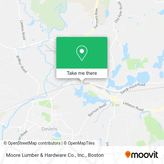
See Moore Lumber & Hardware Co., Inc., Ayer, on the map
Public Transit to Moore Lumber & Hardware Co., Inc. in Ayer
Wondering how to get to Moore Lumber & Hardware Co., Inc. in Ayer? Moovit helps you find the best way to get to Moore Lumber & Hardware Co., Inc. with step-by-step directions from the nearest public transit station.
Moovit provides free maps and live directions to help you navigate through your city. View schedules, routes, timetables, and find out how long does it take to get to Moore Lumber & Hardware Co., Inc. in real time.
Looking for the nearest stop or station to Moore Lumber & Hardware Co., Inc.? Check out this list of stops closest to your destination: Ayer; Ayer MA; Ayer Public Library (26 E Main St).
Bus: EMERSON HOSPITAL SHUTTLE, HARVARD COMMUTER SHUTTLE, FITCHBURG LINE SHUTTLE, GREYHOUND US0256S.Train: FITCHBURG.
Want to see if there’s another route that gets you there at an earlier time? Moovit helps you find alternative routes or times. Get directions from and directions to Moore Lumber & Hardware Co., Inc. easily from the Moovit App or Website.
We make riding to Moore Lumber & Hardware Co., Inc. easy, which is why over 1.7 million users, including users in Ayer, trust Moovit as the best app for public transit. You don’t need to download an individual bus app or train app, Moovit is your all-in-one transit app that helps you find the best bus time or train time available.
For information on prices of bus and train, costs and ride fares to Moore Lumber & Hardware Co., Inc., please check the Moovit app.
Use the app to navigate to popular places including to the airport, hospital, stadium, grocery store, mall, coffee shop, school, college, and university.
Moore Lumber & Hardware Co., Inc. Address: 22 W Main St street in Ayer
- Ayer MBTA Station,
- Lucia's Tavola (Lucias Tavola),
- Red House Irons,
- Bethel Ayer,
- FedEx Drop Box,
- ADT A T Alarm & Home Security,
- Lafountain & Wollman P.C.,
- Commonwealth of Massachusetts,
- Terra,
- Town of Ayer,
- Phelps,
- Ayer District Court,
- Shriver Job Corps Center,
- Woodlawn Cemetery,
- DWW Motorsports,
- Steward Nashoba Valley Medical Center,
- HJBT,
- Charter Communications,
- Daigneault's Liquors,
- The Grape Vine
Places Near Moore Lumber & Hardware Co., Inc. (Ayer)
- Wang Theater, Boston,
- Boston Children's Hospital, Boston,
- Seaport District, Boston,
- Faneuil Hall, Boston,
- Cheers, Boston,
- Massachusetts General Hospital, Boston,
- Td Garden, Boston,
- Boston Common, Boston,
- Museum Of Science, Boston,
- Isabella Stewart Gardner Museum, Boston,
- North End, Boston,
- Mgm Music Hall, Boston,
- Wilbur Theatre, Boston,
- House Of Blues, Boston,
- Boston Convention & Exhibition Center, Boston,
- Boston Medical Center, Boston,
- Castle Island, Boston,
- Quincy Market, Boston,
- Prudential Center, Boston,
- Leader Bank Pavilion (Leader Bank Pavillion), Boston
How to get to popular places in Boston with public transit
Get around Ayer by public transit!
Traveling around Ayer has never been so easy. See step by step directions as you travel to any attraction, street or major public transit station. View bus and train schedules, arrival times, service alerts and detailed routes on a map, so you know exactly how to get to anywhere in Ayer.
When traveling to any destination around Ayer use Moovit's Live Directions with Get Off Notifications to know exactly where and how far to walk, how long to wait for your line, and how many stops are left. Moovit will alert you when it's time to get off — no need to constantly re-check whether yours is the next stop.
Wondering how to use public transit in Ayer or how to pay for public transit in Ayer? Moovit public transit app can help you navigate your way with public transit easily, and at minimum cost. It includes public transit fees, ticket prices, and costs. Looking for a map of Ayer public transit lines? Moovit public transit app shows all public transit maps in Ayer with all Bus, Train, Subway and Ferry routes and stops on an interactive map.
Boston has 4 transit type(s), including: Bus, Train, Subway and Ferry, operated by several transit agencies, including MBTA, Southeastern Regional Transit Authority, MetroWest Regional Transit Authority, Rhode Island Public Transit Authority, WRTA, Lowell Regional Transit Authority, Merrimack Valley Transit, Montachusett Regional Transit Authority, Cape Cod Regional Transit Authority, Brockton Area Transit Authority, Martha's Vineyard Transit Authority, the WAVE - Nantucket Regional Transit Authority, GATRA, Cape Ann Transportation Authority and Massport