How to get to Moose International by bus?
Click on the bus route to see step by step directions with maps, line arrival times and updated time schedules.
How to get to Moose International by train?
Click on the train route to see step by step directions with maps, line arrival times and updated time schedules.
Bus stops near Moose International in Boston
Train station near Moose International in Boston
- North Billerica, 57 min walk,VIEW
Bus lines to Moose International in Boston
What are the closest stations to Moose International?
The closest stations to Moose International are:
- Lowell St & Franklin St is 163 yards away, 3 min walk.
- Chelmsford Rd & Rangeway Rd is 1000 yards away, 12 min walk.
- Ups (90 Brick Kiln Rd) is 1099 yards away, 13 min walk.
- North Billerica is 4834 yards away, 57 min walk.
Which bus lines stop near Moose International?
These bus lines stop near Moose International: 13, 14.
Which train line stops near Moose International?
LOWELL (#324 | North Station)
What’s the nearest bus station to Moose International in Boston?
The nearest bus station to Moose International in Boston is Lowell St & Franklin St. It’s a 3 min walk away.
What time is the first train to Moose International in Boston?
The LOWELL is the first train that goes to Moose International in Boston. It stops nearby at 5:08 AM.
What time is the last train to Moose International in Boston?
The LOWELL is the last train that goes to Moose International in Boston. It stops nearby at 12:20 AM.
What time is the first bus to Moose International in Boston?
The 14 is the first bus that goes to Moose International in Boston. It stops nearby at 6:16 AM.
What time is the last bus to Moose International in Boston?
The 14 is the last bus that goes to Moose International in Boston. It stops nearby at 7:49 PM.
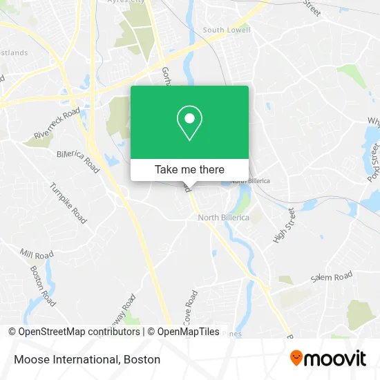
See Moose International, Boston, on the map
Public Transit to Moose International in Boston
Wondering how to get to Moose International in Boston? Moovit helps you find the best way to get to Moose International with step-by-step directions from the nearest public transit station.
Moovit provides free maps and live directions to help you navigate through your city. View schedules, routes, timetables, and find out how long does it take to get to Moose International in real time.
Looking for the nearest stop or station to Moose International? Check out this list of stops closest to your destination: Lowell St & Franklin St; Chelmsford Rd & Rangeway Rd; Ups (90 Brick Kiln Rd); North Billerica.
Bus: 13, 14, 15.Train: LOWELL.
Want to see if there’s another route that gets you there at an earlier time? Moovit helps you find alternative routes or times. Get directions from and directions to Moose International easily from the Moovit App or Website.
We make riding to Moose International easy, which is why over 1.7 million users, including users in Boston, trust Moovit as the best app for public transit. You don’t need to download an individual bus app or train app, Moovit is your all-in-one transit app that helps you find the best bus time or train time available.
For information on prices of bus and train, costs and ride fares to Moose International, please check the Moovit app.
Use the app to navigate to popular places including to the airport, hospital, stadium, grocery store, mall, coffee shop, school, college, and university.
Moose International Address: 104 Boston Rd street in Boston
- Bang na Thai Kitchen,
- K.A. O'Neill Landscaping & Snow Service,
- Life Care Center of Merrimack Valley ,
- Trammell Crow Residential,
- Bbhairsalon,
- Cathy Lomasney,
- Icon Jiu Jitsu Team USA,
- Blackbird Tattoo Co.,
- Connection Nail Design,
- Sebastian Cleaning Services,
- Tough Road Consulting,
- NE Pediatric School,
- Boston Alpine Road Apartments,
- Regy"S Cleaning,
- Nupath,
- Sky Cleaning Service,
- Staccato Interactive,
- Istorage,
- All Star Subs,
- Exit Homestead Realty
Places Near Moose International (Boston)
- Seaport District, Boston,
- Boston Medical Center, Boston,
- Boston Children's Hospital, Boston,
- Quincy Market, Boston,
- Mgm Music Hall, Boston,
- Cheers, Boston,
- House Of Blues, Boston,
- Leader Bank Pavilion (Leader Bank Pavillion), Boston,
- Massachusetts General Hospital, Boston,
- Castle Island, Boston,
- Museum Of Science, Boston,
- Boston Common, Boston,
- Faneuil Hall, Boston,
- North End, Boston,
- Isabella Stewart Gardner Museum, Boston,
- Boston Convention & Exhibition Center, Boston,
- Wang Theater, Boston,
- Prudential Center, Boston,
- Td Garden, Boston,
- Wilbur Theatre, Boston
How to get to popular places in Boston with public transit
Get around Boston by public transit!
Traveling around Boston has never been so easy. See step by step directions as you travel to any attraction, street or major public transit station. View bus and train schedules, arrival times, service alerts and detailed routes on a map, so you know exactly how to get to anywhere in Boston.
When traveling to any destination around Boston use Moovit's Live Directions with Get Off Notifications to know exactly where and how far to walk, how long to wait for your line, and how many stops are left. Moovit will alert you when it's time to get off — no need to constantly re-check whether yours is the next stop.
Wondering how to use public transit in Boston or how to pay for public transit in Boston? Moovit public transit app can help you navigate your way with public transit easily, and at minimum cost. It includes public transit fees, ticket prices, and costs. Looking for a map of Boston public transit lines? Moovit public transit app shows all public transit maps in Boston with all Bus, Train, Subway and Ferry routes and stops on an interactive map.
Boston has 4 transit type(s), including: Bus, Train, Subway and Ferry, operated by several transit agencies, including MBTA, Southeastern Regional Transit Authority, MetroWest Regional Transit Authority, Rhode Island Public Transit Authority, WRTA, Lowell Regional Transit Authority, Merrimack Valley Transit, Montachusett Regional Transit Authority, Cape Cod Regional Transit Authority, Brockton Area Transit Authority, Martha's Vineyard Transit Authority, the WAVE - Nantucket Regional Transit Authority, GATRA, Cape Ann Transportation Authority and Massport