How to get to Moveable Feast by bus?
Click on the bus route to see step by step directions with maps, line arrival times and updated time schedules.
From Druid Hill Park, Baltimore
61 minFrom Hampden, Baltimore
36 minFrom Mva, Baltimore
72 minFrom I-70 at Security Blvd Baltimore City Lot Park & Ride, Baltimore
63 minFrom Western High School, Baltimore
54 minFrom Loyola University Maryland, Baltimore
53 minFrom I-695 Exit 29 (Loch Raven Blvd (MD 542)/Cromwell Bridge Rd), Baltimore County
70 minFrom Franklin Square Dr (franklin hospital), Baltimore County
32 minFrom Medstar Franklin Square Medical Center, Baltimore County
30 minFrom Baltimore Penn Station, Baltimore
46 min
How to get to Moveable Feast by metro?
Click on the metro route to see step by step directions with maps, line arrival times and updated time schedules.
Bus stops near Moveable Feast in Baltimore
Metro station near Moveable Feast in Baltimore
- Johns Hopkins Metro, 20 min walk,VIEW
Ferry stations near Moveable Feast in Baltimore
Bus lines to Moveable Feast in Baltimore
What are the closest stations to Moveable Feast?
The closest stations to Moveable Feast are:
- Madison St & Milton Ave Wb is 156 yards away, 3 min walk.
- Patterson Park & Ashland Sb is 337 yards away, 5 min walk.
- Milton Ave & Monument St Nb is 340 yards away, 5 min walk.
- Johns Hopkins Metro is 1637 yards away, 20 min walk.
- Canton Waterfront Park is 3512 yards away, 42 min walk.
- Maritime Park is 3952 yards away, 47 min walk.
- Pier Five is 4061 yards away, 49 min walk.
Which bus lines stop near Moveable Feast?
These bus lines stop near Moveable Feast: 21, 56, CITYLINK PINK.
Which metro line stops near Moveable Feast?
METRO (Towards John Hopkins)
What’s the nearest metro station to Moveable Feast in Baltimore?
The nearest metro station to Moveable Feast in Baltimore is Johns Hopkins Metro. It’s a 20 min walk away.
What’s the nearest bus station to Moveable Feast in Baltimore?
The nearest bus station to Moveable Feast in Baltimore is Madison St & Milton Ave Wb. It’s a 3 min walk away.
What time is the first metro to Moveable Feast in Baltimore?
The METRO is the first metro that goes to Moveable Feast in Baltimore. It stops nearby at 4:21 AM.
What time is the last metro to Moveable Feast in Baltimore?
The METRO is the last metro that goes to Moveable Feast in Baltimore. It stops nearby at 12:29 AM.
What time is the first bus to Moveable Feast in Baltimore?
The CITYLINK PINK is the first bus that goes to Moveable Feast in Baltimore. It stops nearby at 3:05 AM.
What time is the last bus to Moveable Feast in Baltimore?
The CITYLINK PINK is the last bus that goes to Moveable Feast in Baltimore. It stops nearby at 3:06 AM.
What time is the first ferry to Moveable Feast in Baltimore?
The HC2 is the first ferry that goes to Moveable Feast in Baltimore. It stops nearby at 6:00 AM.
What time is the last ferry to Moveable Feast in Baltimore?
The HC3 is the last ferry that goes to Moveable Feast in Baltimore. It stops nearby at 8:07 PM.
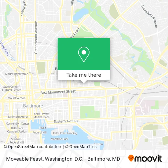
See Moveable Feast, Baltimore, on the map
Public Transit to Moveable Feast in Baltimore
Wondering how to get to Moveable Feast in Baltimore? Moovit helps you find the best way to get to Moveable Feast with step-by-step directions from the nearest public transit station.
Moovit provides free maps and live directions to help you navigate through your city. View schedules, routes, timetables, and find out how long does it take to get to Moveable Feast in real time.
Looking for the nearest stop or station to Moveable Feast? Check out this list of stops closest to your destination: Madison St & Milton Ave Wb; Patterson Park & Ashland Sb; Milton Ave & Monument St Nb; Johns Hopkins Metro; Canton Waterfront Park; Maritime Park; Pier Five.
Bus: 21, 56, CITYLINK PINK.Metro: METRO.Ferry: HC2, HC1.
Want to see if there’s another route that gets you there at an earlier time? Moovit helps you find alternative routes or times. Get directions from and directions to Moveable Feast easily from the Moovit App or Website.
We make riding to Moveable Feast easy, which is why over 1.5 million users, including users in Baltimore, trust Moovit as the best app for public transit. You don’t need to download an individual bus app or train app, Moovit is your all-in-one transit app that helps you find the best bus time or train time available.
For information on prices of bus and metro, costs and ride fares to Moveable Feast, please check the Moovit app.
Use the app to navigate to popular places including to the airport, hospital, stadium, grocery store, mall, coffee shop, school, college, and university.
Moveable Feast Address: North Rose Street street in Baltimore
- Meals on Wheels,
- Madison and N Lakewood Ave,
- Panda House (Panda Chinese American Takeout),
- Mi Casa Carry Out & Grocery,
- Big John Warehouse Used And New Appliances,
- E Biddle St Building 2735,
- American Legion Hall Post 285,
- E Monument St (monument st & kenwood ave),
- Saint Wenceslaus Roman Catholic Church,
- Alpha Pawn Shop,
- Income Tax Center,
- Montford E Preston St,
- All Safe Driving School,
- Luzerne and Jefferson,
- Boss Boyz Towing,
- E Preston St (patterson park ave & preston),
- N Chester E Chase St,
- Chester St & Chase St,
- Johns Hopkins Sch of Public Health,
- Family Affairs Grocery
Places Near Moveable Feast (Baltimore)
- Marriott Marquis Washington, DC, Washington,
- Washington DC VA Medical Center, Washington,
- PG Mall, Prince George's County,
- Museum Of The Bible, Washington,
- Amazon Hq2, Arlington County,
- Rock Creek Tennis Center, Washington,
- Basilica of the National Shrine, Washington,
- Georgetown, Washington,
- Westfield Montgomery Mall, Montgomery County,
- National Zoo, Washington,
- Capital One Arena, Washington,
- The Anthem, Washington,
- Washington National Cathedral, Washington,
- Sibley Memorial Hospital, Washington,
- M&T Bank Stadium, Baltimore,
- National Museum of African American History and Culture, Washington,
- Pennsylvania Ave NW (3rd st and pennsylvania), Washington,
- Warner Theatre, Washington,
- Camden Yards, Baltimore,
- National Theatre, Washington
How to get to popular places in Washington, D.C. - Baltimore, MD with public transit
Get around Baltimore by public transit!
Traveling around Baltimore has never been so easy. See step by step directions as you travel to any attraction, street or major public transit station. View bus and train schedules, arrival times, service alerts and detailed routes on a map, so you know exactly how to get to anywhere in Baltimore.
When traveling to any destination around Baltimore use Moovit's Live Directions with Get Off Notifications to know exactly where and how far to walk, how long to wait for your line, and how many stops are left. Moovit will alert you when it's time to get off — no need to constantly re-check whether yours is the next stop.
Wondering how to use public transit in Baltimore or how to pay for public transit in Baltimore? Moovit public transit app can help you navigate your way with public transit easily, and at minimum cost. It includes public transit fees, ticket prices, and costs. Looking for a map of Baltimore public transit lines? Moovit public transit app shows all public transit maps in Baltimore with all Bus, Train, Metro, Light Rail and Ferry routes and stops on an interactive map.
Washington, D.C. - Baltimore, MD has 5 transit type(s), including: Bus, Train, Metro, Light Rail and Ferry, operated by several transit agencies, including WMATA, Montgomery County Ride On, Fairfax Connector, TheBus, PRTC, DASH - Alexandria, Arlington Transit (ART), RTA of Central Maryland, MDOT MTA, MDOT MTA Light RailLink, MDOT MTA Commuter Bus, MDOT MTA Local Bus, FXBGO!, Virginia Railway Express (VRE) and MARC