Directions to Mpaspanish (Melrose) with public transportation
The following transit lines have routes that pass near Mpaspanish
 Bus: 106, 137, 131.
- Train: HAVERHILL, ORANGE LINE.
- Subway: ORANGE LINE.
How to get to Mpaspanish by bus?
Click on the bus route to see step by step directions with maps, line arrival times and updated time schedules.
From Ac Hotel Cambridge, Cambridge
141 minFrom Uss Constitution, Boston
74 minFrom East Boston, Boston
72 minFrom Downeast Cider House, Boston
75 minFrom Davis Sq, Somerville
68 minFrom Somerville, MA, Somerville
67 minFrom Bunker Hill Monument, Boston
68 minFrom Revere Beach, Revere
97 minFrom MBTA / Alewife #6, Cambridge
113 minFrom USS Constitution (USS Constitution Museum), Boston
72 min
How to get to Mpaspanish by train?
Click on the train route to see step by step directions with maps, line arrival times and updated time schedules.
How to get to Mpaspanish by subway?
Click on the subway route to see step by step directions with maps, line arrival times and updated time schedules.
From Ac Hotel Cambridge, Cambridge
96 minFrom Uss Constitution, Boston
76 minFrom East Boston, Boston
79 minFrom Davis Sq, Somerville
87 minFrom Somerville, MA, Somerville
82 minFrom Bunker Hill Monument, Boston
69 minFrom Revere Beach, Revere
100 minFrom MBTA / Alewife #6, Cambridge
89 minFrom USS Constitution (USS Constitution Museum), Boston
75 min
Bus stops near Mpaspanish in Melrose
Train station near Mpaspanish in Melrose
- Oak Grove, 44 min walk,VIEW
What are the closest stations to Mpaspanish?
The closest stations to Mpaspanish are:
- Porter St @ Bellevue Ave is 139 yards away, 2 min walk.
- Main St @ E Emerson St is 421 yards away, 6 min walk.
- Oak Grove is 3736 yards away, 44 min walk.
Which bus lines stop near Mpaspanish?
These bus lines stop near Mpaspanish: 106, 137.
Which train line stops near Mpaspanish?
HAVERHILL (#229 | Haverhill)
Which subway line stops near Mpaspanish?
ORANGE LINE (Oak Grove)
What’s the nearest bus station to Mpaspanish in Melrose?
The nearest bus station to Mpaspanish in Melrose is Porter St @ Bellevue Ave. It’s a 2 min walk away.
What time is the first subway to Mpaspanish in Melrose?
The ORANGE LINE is the first subway that goes to Mpaspanish in Melrose. It stops nearby at 5:15 AM.
What time is the last subway to Mpaspanish in Melrose?
The ORANGE LINE is the last subway that goes to Mpaspanish in Melrose. It stops nearby at 1:59 AM.
What time is the first train to Mpaspanish in Melrose?
The HAVERHILL is the first train that goes to Mpaspanish in Melrose. It stops nearby at 5:35 AM.
What time is the last train to Mpaspanish in Melrose?
The HAVERHILL is the last train that goes to Mpaspanish in Melrose. It stops nearby at 11:53 PM.
What time is the first bus to Mpaspanish in Melrose?
The 137 is the first bus that goes to Mpaspanish in Melrose. It stops nearby at 5:02 AM.
What time is the last bus to Mpaspanish in Melrose?
The 137 is the last bus that goes to Mpaspanish in Melrose. It stops nearby at 10:53 PM.
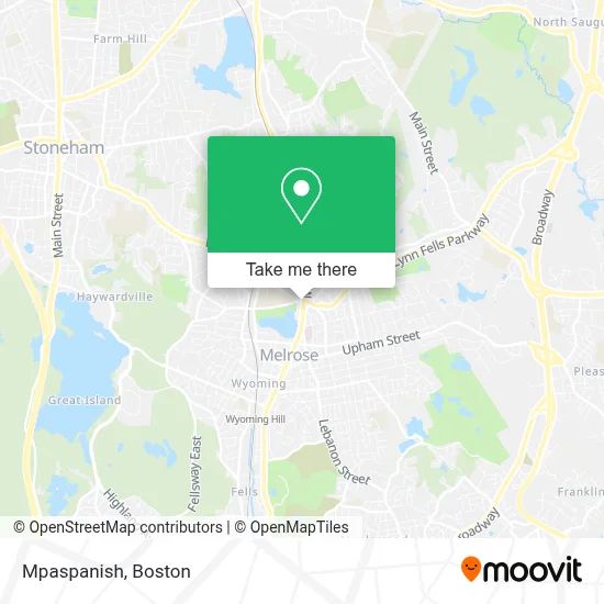
See Mpaspanish, Melrose, on the map
Public Transit to Mpaspanish in Melrose
Wondering how to get to Mpaspanish in Melrose? Moovit helps you find the best way to get to Mpaspanish with step-by-step directions from the nearest public transit station.
Moovit provides free maps and live directions to help you navigate through your city. View schedules, routes, timetables, and find out how long does it take to get to Mpaspanish in real time.
Looking for the nearest stop or station to Mpaspanish? Check out this list of stops closest to your destination: Porter St @ Bellevue Ave; Main St @ E Emerson St; Oak Grove.
Bus: 106, 137, 131.Train: HAVERHILL, ORANGE LINE.Subway: ORANGE LINE.
Want to see if there’s another route that gets you there at an earlier time? Moovit helps you find alternative routes or times. Get directions from and directions to Mpaspanish easily from the Moovit App or Website.
We make riding to Mpaspanish easy, which is why over 1.7 million users, including users in Melrose, trust Moovit as the best app for public transit. You don’t need to download an individual bus app or train app, Moovit is your all-in-one transit app that helps you find the best bus time or train time available.
For information on prices of bus, subway and train, costs and ride fares to Mpaspanish, please check the Moovit app.
Use the app to navigate to popular places including to the airport, hospital, stadium, grocery store, mall, coffee shop, school, college, and university.
Mpaspanish Address: 846 Main St street in Melrose
- Mi Pequena Acedemia,
- DUNKIN',
- Doru Iancovici, MD,
- Seven Days Automobile Shop,
- 1 24 Hour Melrose Emergency Locksmith,
- Amazon Hub Counter+ (Melrose-Whole Foods),
- Melrose Carpet Cleaning,
- Santander,
- American Lock & Key,
- Advanced Dermatology and Aesthetic Center,
- Dell'Orfano, William J: William J Dell'Orfano,
- Health Insurance Brokers Melrose,
- Melrose High School (Melrose Public Schools - Central Administration),
- Latty Alexander B, MD,
- White's Plumbing & Heating,
- Red Cross,
- Hallmark Health Diagnostic,
- American Locksmith,
- Town Homes at Green Street,
- Red Cross
Places Near Mpaspanish (Melrose)
- House Of Blues, Boston,
- Isabella Stewart Gardner Museum, Boston,
- Boston Common, Boston,
- Seaport District, Boston,
- Museum Of Science, Boston,
- Massachusetts General Hospital, Boston,
- Cheers, Boston,
- North End, Boston,
- Prudential Center, Boston,
- Quincy Market, Boston,
- Boston Convention & Exhibition Center, Boston,
- Boston Children's Hospital, Boston,
- Faneuil Hall, Boston,
- Mgm Music Hall, Boston,
- Td Garden, Boston,
- Leader Bank Pavilion (Leader Bank Pavillion), Boston,
- Wang Theater, Boston,
- Wilbur Theatre, Boston,
- Castle Island, Boston,
- Boston Medical Center, Boston
How to get to popular places in Boston with public transit
Get around Melrose by public transit!
Traveling around Melrose has never been so easy. See step by step directions as you travel to any attraction, street or major public transit station. View bus and train schedules, arrival times, service alerts and detailed routes on a map, so you know exactly how to get to anywhere in Melrose.
When traveling to any destination around Melrose use Moovit's Live Directions with Get Off Notifications to know exactly where and how far to walk, how long to wait for your line, and how many stops are left. Moovit will alert you when it's time to get off — no need to constantly re-check whether yours is the next stop.
Wondering how to use public transit in Melrose or how to pay for public transit in Melrose? Moovit public transit app can help you navigate your way with public transit easily, and at minimum cost. It includes public transit fees, ticket prices, and costs. Looking for a map of Melrose public transit lines? Moovit public transit app shows all public transit maps in Melrose with all Bus, Train, Subway and Ferry routes and stops on an interactive map.
Boston has 4 transit type(s), including: Bus, Train, Subway and Ferry, operated by several transit agencies, including MBTA, Southeastern Regional Transit Authority, MetroWest Regional Transit Authority, Rhode Island Public Transit Authority, WRTA, Lowell Regional Transit Authority, Merrimack Valley Transit, Montachusett Regional Transit Authority, Cape Cod Regional Transit Authority, Brockton Area Transit Authority, Martha's Vineyard Transit Authority, the WAVE - Nantucket Regional Transit Authority, GATRA, Cape Ann Transportation Authority and Massport