Directions to Mra (Wellesley) with public transportation
The following transit lines have routes that pass near Mra
 Bus: 01.
- Train: FRAMINGHAM/WORCESTER.
How to get to Mra by bus?
Click on the bus route to see step by step directions with maps, line arrival times and updated time schedules.
How to get to Mra by train?
Click on the train route to see step by step directions with maps, line arrival times and updated time schedules.
Bus stop near Mra in Wellesley
- Cross St (Central St/Cross St), 5 min walk,VIEW
Train station near Mra in Wellesley
- Wellesley Square, 17 min walk,VIEW
Bus lines to Mra in Wellesley
- 01, Natick Mall - Wegmans,VIEW
What are the closest stations to Mra?
The closest stations to Mra are:
- Cross St (Central St/Cross St) is 367 yards away, 5 min walk.
- Wellesley Square is 1462 yards away, 17 min walk.
Which bus line stops near Mra?
01 (Woodland Mbta Train Station→Natick Mall - Wegmans)
Which train line stops near Mra?
FRAMINGHAM/WORCESTER (#525 | Worcester)
What’s the nearest train station to Mra in Wellesley?
The nearest train station to Mra in Wellesley is Wellesley Square. It’s a 17 min walk away.
What’s the nearest bus station to Mra in Wellesley?
The nearest bus station to Mra in Wellesley is Cross St (Central St/Cross St). It’s a 5 min walk away.
What time is the first train to Mra in Wellesley?
The FRAMINGHAM/WORCESTER is the first train that goes to Mra in Wellesley. It stops nearby at 5:04 AM.
What time is the last train to Mra in Wellesley?
The FRAMINGHAM/WORCESTER is the last train that goes to Mra in Wellesley. It stops nearby at 12:37 AM.
What time is the first bus to Mra in Wellesley?
The 01 is the first bus that goes to Mra in Wellesley. It stops nearby at 5:58 AM.
What time is the last bus to Mra in Wellesley?
The 01 is the last bus that goes to Mra in Wellesley. It stops nearby at 8:56 PM.
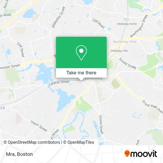
See Mra, Wellesley, on the map
Public Transit to Mra in Wellesley
Wondering how to get to Mra in Wellesley? Moovit helps you find the best way to get to Mra with step-by-step directions from the nearest public transit station.
Moovit provides free maps and live directions to help you navigate through your city. View schedules, routes, timetables, and find out how long does it take to get to Mra in real time.
Looking for the nearest stop or station to Mra? Check out this list of stops closest to your destination: Cross St (Central St/Cross St); Wellesley Square.
Bus: 01.Train: FRAMINGHAM/WORCESTER.
Want to see if there’s another route that gets you there at an earlier time? Moovit helps you find alternative routes or times. Get directions from and directions to Mra easily from the Moovit App or Website.
We make riding to Mra easy, which is why over 1.7 million users, including users in Wellesley, trust Moovit as the best app for public transit. You don’t need to download an individual bus app or train app, Moovit is your all-in-one transit app that helps you find the best bus time or train time available.
For information on prices of bus, train and subway, costs and ride fares to Mra, please check the Moovit app.
Use the app to navigate to popular places including to the airport, hospital, stadium, grocery store, mall, coffee shop, school, college, and university.
Mra Address: 103 Central St street in Wellesley
- Saponaro Law Offices Pllc,
- Sashya Thind,
- Opaline Interiors Studio,
- Nehoiden Golf Club,
- Caskata Inc.,
- Jewett Auditorium,
- Laer Realty Partners - Wellesley,
- Town Of Wellesley Fire Station 1,
- One Medical,
- Atm Webster Bank,
- Donna Scott Group: Donna Scott & Kristina Baynes-Reid,
- Stephen And Nicole Connolly Real Estate,
- Susie Gear, Realtor - Coldwell Banker Wellesley,
- Ucm Cleaning Services,
- Plumbing Water Pressure,
- Marta Malina Real Estate,
- Claudia Perkins Real Estate,
- Wellesleyrealtor/ Mary Beth Grimm Abr, Srs,
- Wellesley Japan Club,
- Bassick Real Estate Advisors
Places Near Mra (Wellesley)
- Isabella Stewart Gardner Museum, Boston,
- Mgm Music Hall, Boston,
- Wilbur Theatre, Boston,
- Boston Medical Center, Boston,
- Quincy Market, Boston,
- Leader Bank Pavilion (Leader Bank Pavillion), Boston,
- Cheers, Boston,
- Castle Island, Boston,
- House Of Blues, Boston,
- Wang Theater, Boston,
- Boston Children's Hospital, Boston,
- Seaport District, Boston,
- Faneuil Hall, Boston,
- Boston Convention & Exhibition Center, Boston,
- Massachusetts General Hospital, Boston,
- Prudential Center, Boston,
- North End, Boston,
- Td Garden, Boston,
- Museum Of Science, Boston,
- Boston Common, Boston
How to get to popular places in Boston with public transit
Get around Wellesley by public transit!
Traveling around Wellesley has never been so easy. See step by step directions as you travel to any attraction, street or major public transit station. View bus and train schedules, arrival times, service alerts and detailed routes on a map, so you know exactly how to get to anywhere in Wellesley.
When traveling to any destination around Wellesley use Moovit's Live Directions with Get Off Notifications to know exactly where and how far to walk, how long to wait for your line, and how many stops are left. Moovit will alert you when it's time to get off — no need to constantly re-check whether yours is the next stop.
Wondering how to use public transit in Wellesley or how to pay for public transit in Wellesley? Moovit public transit app can help you navigate your way with public transit easily, and at minimum cost. It includes public transit fees, ticket prices, and costs. Looking for a map of Wellesley public transit lines? Moovit public transit app shows all public transit maps in Wellesley with all Bus, Train, Subway and Ferry routes and stops on an interactive map.
Boston has 4 transit type(s), including: Bus, Train, Subway and Ferry, operated by several transit agencies, including MBTA, Southeastern Regional Transit Authority, MetroWest Regional Transit Authority, Rhode Island Public Transit Authority, WRTA, Lowell Regional Transit Authority, Merrimack Valley Transit, Montachusett Regional Transit Authority, Cape Cod Regional Transit Authority, Brockton Area Transit Authority, Martha's Vineyard Transit Authority, the WAVE - Nantucket Regional Transit Authority, GATRA, Cape Ann Transportation Authority and Massport