How to get to Mte Equipment Solutions by bus?
Click on the bus route to see step by step directions with maps, line arrival times and updated time schedules.
How to get to Mte Equipment Solutions by train?
Click on the train route to see step by step directions with maps, line arrival times and updated time schedules.
Train station near Mte Equipment Solutions in Boston
- Ballardvale, 49 min walk,VIEW
What are the closest stations to Mte Equipment Solutions?
The closest stations to Mte Equipment Solutions are:
- Ballardvale is 4139 yards away, 49 min walk.
Which bus line stops near Mte Equipment Solutions?
12 (Kennedy Center)
Which train line stops near Mte Equipment Solutions?
HAVERHILL (#224 | North Station)
What time is the first train to Mte Equipment Solutions in Boston?
The HAVERHILL is the first train that goes to Mte Equipment Solutions in Boston. It stops nearby at 5:03 AM.
What time is the last train to Mte Equipment Solutions in Boston?
The HAVERHILL is the last train that goes to Mte Equipment Solutions in Boston. It stops nearby at 12:26 AM.
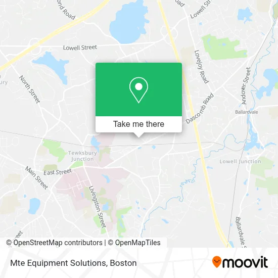
See Mte Equipment Solutions, Boston, on the map
Public Transit to Mte Equipment Solutions in Boston
Wondering how to get to Mte Equipment Solutions in Boston? Moovit helps you find the best way to get to Mte Equipment Solutions with step-by-step directions from the nearest public transit station.
Moovit provides free maps and live directions to help you navigate through your city. View schedules, routes, timetables, and find out how long does it take to get to Mte Equipment Solutions in real time.
Looking for the nearest stop or station to Mte Equipment Solutions? Check out this list of stops closest to your destination: Ballardvale.
Bus: 12.Train: HAVERHILL.
Want to see if there’s another route that gets you there at an earlier time? Moovit helps you find alternative routes or times. Get directions from and directions to Mte Equipment Solutions easily from the Moovit App or Website.
We make riding to Mte Equipment Solutions easy, which is why over 1.7 million users, including users in Boston, trust Moovit as the best app for public transit. You don’t need to download an individual bus app or train app, Moovit is your all-in-one transit app that helps you find the best bus time or train time available.
For information on prices of bus and train, costs and ride fares to Mte Equipment Solutions, please check the Moovit app.
Use the app to navigate to popular places including to the airport, hospital, stadium, grocery store, mall, coffee shop, school, college, and university.
Mte Equipment Solutions Address: 118 Lumber Ln street in Boston
- Tewksbury State Hospital,
- Restaurant Depot,
- Peoples Ame Church,
- Livingston Street Auto (Livingston St Auto),
- Tewksbury Air Conditioning Systems,
- Rockingham Silk Screen,
- 750four Cycles,
- Maxiclean Building Services LL,
- EV Charging Station,
- The Power of Flowers Project,
- Lahey Health Behavioral Services Tewksbury Treatment Center,
- Schwab Sheila Northeast Psychiatric Group, PC,
- Jri Merrimack,
- Shawsheen River Reservation,
- Germano Way Green Area,
- Town of Tewksbury,
- 24 7 Towing,
- D & D Towing,
- Tri-Town Serv & Tire Center,
- Towing Near Me
Places Near Mte Equipment Solutions (Boston)
- Prudential Center, Boston,
- Castle Island, Boston,
- North End, Boston,
- Seaport District, Boston,
- House Of Blues, Boston,
- Boston Convention & Exhibition Center, Boston,
- Quincy Market, Boston,
- Td Garden, Boston,
- Faneuil Hall, Boston,
- Boston Medical Center, Boston,
- Mgm Music Hall, Boston,
- Museum Of Science, Boston,
- Cheers, Boston,
- Leader Bank Pavilion (Leader Bank Pavillion), Boston,
- Wang Theater, Boston,
- Massachusetts General Hospital, Boston,
- Wilbur Theatre, Boston,
- Boston Children's Hospital, Boston,
- Boston Common, Boston,
- Isabella Stewart Gardner Museum, Boston
How to get to popular places in Boston with public transit
Get around Boston by public transit!
Traveling around Boston has never been so easy. See step by step directions as you travel to any attraction, street or major public transit station. View bus and train schedules, arrival times, service alerts and detailed routes on a map, so you know exactly how to get to anywhere in Boston.
When traveling to any destination around Boston use Moovit's Live Directions with Get Off Notifications to know exactly where and how far to walk, how long to wait for your line, and how many stops are left. Moovit will alert you when it's time to get off — no need to constantly re-check whether yours is the next stop.
Wondering how to use public transit in Boston or how to pay for public transit in Boston? Moovit public transit app can help you navigate your way with public transit easily, and at minimum cost. It includes public transit fees, ticket prices, and costs. Looking for a map of Boston public transit lines? Moovit public transit app shows all public transit maps in Boston with all Bus, Train, Subway and Ferry routes and stops on an interactive map.
Boston has 4 transit type(s), including: Bus, Train, Subway and Ferry, operated by several transit agencies, including MBTA, Southeastern Regional Transit Authority, MetroWest Regional Transit Authority, Rhode Island Public Transit Authority, WRTA, Lowell Regional Transit Authority, Merrimack Valley Transit, Montachusett Regional Transit Authority, Cape Cod Regional Transit Authority, Brockton Area Transit Authority, Martha's Vineyard Transit Authority, the WAVE - Nantucket Regional Transit Authority, GATRA, Cape Ann Transportation Authority and Massport