Directions to Myeyedr. (Boston) with public transportation
The following transit lines have routes that pass near Myeyedr.
 Bus: 31, G73E, R44.
- Train: VERMONTER, VALLEY FLYER.
How to get to Myeyedr. by bus?
Click on the bus route to see step by step directions with maps, line arrival times and updated time schedules.
From Foxwoods, Worcester
189 minFrom Gardner, MA, Gardner
178 minFrom Registry Of Motor Vehicles (Rmv) Branch Office, Worcester
184 minFrom Palladium, Worcester
185 minFrom Worcester, MA, Worcester
180 minFrom South High Community School, Worcester
257 minFrom Quinsigamond Community College, Worcester
178 min
How to get to Myeyedr. by train?
Click on the train route to see step by step directions with maps, line arrival times and updated time schedules.
Bus stops near Myeyedr. in Boston
Train station near Myeyedr. in Boston
- Northampton, 7 min walk,VIEW
Bus lines to Myeyedr. in Boston
What are the closest stations to Myeyedr.?
The closest stations to Myeyedr. are:
- Jackson/Gleason (Hampshire Heights) is 501 yards away, 7 min walk.
- Northampton is 559 yards away, 7 min walk.
- Big Y Walmart Plaza is 839 yards away, 10 min walk.
Which bus lines stop near Myeyedr.?
These bus lines stop near Myeyedr.: 31, G73E, R44.
Which train line stops near Myeyedr.?
VERMONTER (St Albans)
What’s the nearest train station to Myeyedr. in Boston?
The nearest train station to Myeyedr. in Boston is Northampton. It’s a 7 min walk away.
What’s the nearest bus station to Myeyedr. in Boston?
The nearest bus station to Myeyedr. in Boston is Jackson/Gleason (Hampshire Heights). It’s a 7 min walk away.
What time is the first train to Myeyedr. in Boston?
The VALLEY FLYER is the first train that goes to Myeyedr. in Boston. It stops nearby at 6:30 AM.
What time is the last train to Myeyedr. in Boston?
The VALLEY FLYER is the last train that goes to Myeyedr. in Boston. It stops nearby at 10:07 PM.
What time is the first bus to Myeyedr. in Boston?
The 31 is the first bus that goes to Myeyedr. in Boston. It stops nearby at 5:36 AM.
What time is the last bus to Myeyedr. in Boston?
The 31 is the last bus that goes to Myeyedr. in Boston. It stops nearby at 7:00 PM.
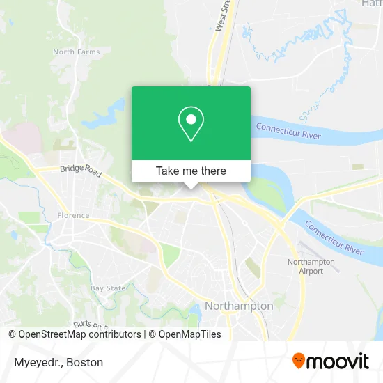
See Myeyedr., Boston, on the map
Public Transit to Myeyedr. in Boston
Wondering how to get to Myeyedr. in Boston? Moovit helps you find the best way to get to Myeyedr. with step-by-step directions from the nearest public transit station.
Moovit provides free maps and live directions to help you navigate through your city. View schedules, routes, timetables, and find out how long does it take to get to Myeyedr. in real time.
Looking for the nearest stop or station to Myeyedr.? Check out this list of stops closest to your destination: Jackson/Gleason (Hampshire Heights); Northampton; Big Y Walmart Plaza.
Bus: 31, G73E, R44.Train: VERMONTER, VALLEY FLYER.
Want to see if there’s another route that gets you there at an earlier time? Moovit helps you find alternative routes or times. Get directions from and directions to Myeyedr. easily from the Moovit App or Website.
We make riding to Myeyedr. easy, which is why over 1.7 million users, including users in Boston, trust Moovit as the best app for public transit. You don’t need to download an individual bus app or train app, Moovit is your all-in-one transit app that helps you find the best bus time or train time available.
For information on prices of bus and train, costs and ride fares to Myeyedr., please check the Moovit app.
Use the app to navigate to popular places including to the airport, hospital, stadium, grocery store, mall, coffee shop, school, college, and university.
Myeyedr. Address: 152 N King St street in Boston
- Wireless Zone,
- Sky Nail & Spa,
- Dave's Soda and Pet Food,
- Coinstar - Bitcoin ATM,
- USPS Collection Box - Blue Box,
- Dollar Tree,
- Walmart Plaza,
- WESTERN UNION,
- Minute Key,
- Pinebrook Farm,
- Big Lots,
- ChargePoint,
- Kens' Eyewear,
- National Correctional Employees Union,
- Benoit Chiropractic,
- New England Integrative Health Center,
- Finn-Erb Residence,
- Motorcycles of Manchester,
- U-Haul,
- Jackson Street Playground
Places Near Myeyedr. (Boston)
- Prudential Center, Boston,
- Leader Bank Pavilion (Leader Bank Pavillion), Boston,
- Td Garden, Boston,
- Wang Theater, Boston,
- Massachusetts General Hospital, Boston,
- Isabella Stewart Gardner Museum, Boston,
- Museum Of Science, Boston,
- Boston Children's Hospital, Boston,
- Mgm Music Hall, Boston,
- Quincy Market, Boston,
- Wilbur Theatre, Boston,
- Boston Convention & Exhibition Center, Boston,
- North End, Boston,
- Cheers, Boston,
- Seaport District, Boston,
- Faneuil Hall, Boston,
- House Of Blues, Boston,
- Boston Medical Center, Boston,
- Boston Common, Boston,
- Castle Island, Boston
How to get to popular places in Boston with public transit
Get around Boston by public transit!
Traveling around Boston has never been so easy. See step by step directions as you travel to any attraction, street or major public transit station. View bus and train schedules, arrival times, service alerts and detailed routes on a map, so you know exactly how to get to anywhere in Boston.
When traveling to any destination around Boston use Moovit's Live Directions with Get Off Notifications to know exactly where and how far to walk, how long to wait for your line, and how many stops are left. Moovit will alert you when it's time to get off — no need to constantly re-check whether yours is the next stop.
Wondering how to use public transit in Boston or how to pay for public transit in Boston? Moovit public transit app can help you navigate your way with public transit easily, and at minimum cost. It includes public transit fees, ticket prices, and costs. Looking for a map of Boston public transit lines? Moovit public transit app shows all public transit maps in Boston with all Bus, Train, Subway and Ferry routes and stops on an interactive map.
Boston has 4 transit type(s), including: Bus, Train, Subway and Ferry, operated by several transit agencies, including MBTA, Southeastern Regional Transit Authority, MetroWest Regional Transit Authority, Rhode Island Public Transit Authority, WRTA, Lowell Regional Transit Authority, Merrimack Valley Transit, Montachusett Regional Transit Authority, Cape Cod Regional Transit Authority, Brockton Area Transit Authority, Martha's Vineyard Transit Authority, the WAVE - Nantucket Regional Transit Authority, GATRA, Cape Ann Transportation Authority and Massport