How to get to Ncc New Computer Multi Center by bus?
Click on the bus route to see step by step directions with maps, line arrival times and updated time schedules.
From Costco, Dedham
98 minFrom South Shore Hospital- Pratt 5, Weymouth Town
107 minFrom Best Western Adams Inn Quincy - Boston, Quincy
64 minFrom Staybridge Suites Boston-Quincy, Quincy
59 minFrom Wollaston Beach, Quincy
101 minFrom Legacy Place, Dedham
96 minFrom Good Samaritan Medical Center, Brockton
47 minFrom crown Colony Shuttle, Quincy
54 minFrom Braintree, MA, Braintree Town
71 min
Bus stops near Ncc New Computer Multi Center in Randolph
What are the closest stations to Ncc New Computer Multi Center?
The closest stations to Ncc New Computer Multi Center are:
- North Main St And Pond St is 558 yards away, 7 min walk.
- N Main St @ Reed St is 581 yards away, 7 min walk.
Which bus lines stop near Ncc New Computer Multi Center?
These bus lines stop near Ncc New Computer Multi Center: 12, 240.
What’s the nearest bus station to Ncc New Computer Multi Center in Randolph?
The nearest bus stations to Ncc New Computer Multi Center in Randolph are North Main St And Pond St and N Main St @ Reed St. The closest one is a 7 min walk away.
What time is the first bus to Ncc New Computer Multi Center in Randolph?
The 240 is the first bus that goes to Ncc New Computer Multi Center in Randolph. It stops nearby at 4:45 AM.
What time is the last bus to Ncc New Computer Multi Center in Randolph?
The 240 is the last bus that goes to Ncc New Computer Multi Center in Randolph. It stops nearby at 1:11 AM.
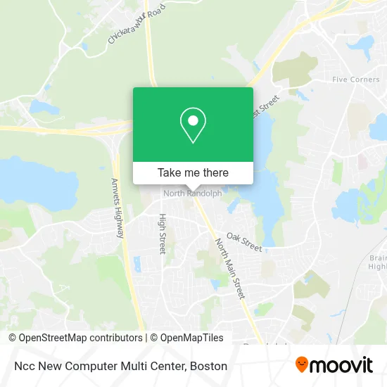
See Ncc New Computer Multi Center, Randolph, on the map
Public Transit to Ncc New Computer Multi Center in Randolph
Wondering how to get to Ncc New Computer Multi Center in Randolph? Moovit helps you find the best way to get to Ncc New Computer Multi Center with step-by-step directions from the nearest public transit station.
Moovit provides free maps and live directions to help you navigate through your city. View schedules, routes, timetables, and find out how long does it take to get to Ncc New Computer Multi Center in real time.
Looking for the nearest stop or station to Ncc New Computer Multi Center? Check out this list of stops closest to your destination: North Main St And Pond St; N Main St @ Reed St.
Bus: 12, 240.
Want to see if there’s another route that gets you there at an earlier time? Moovit helps you find alternative routes or times. Get directions from and directions to Ncc New Computer Multi Center easily from the Moovit App or Website.
We make riding to Ncc New Computer Multi Center easy, which is why over 1.7 million users, including users in Randolph, trust Moovit as the best app for public transit. You don’t need to download an individual bus app or train app, Moovit is your all-in-one transit app that helps you find the best bus time or train time available.
For information on prices of bus and subway, costs and ride fares to Ncc New Computer Multi Center, please check the Moovit app.
Use the app to navigate to popular places including to the airport, hospital, stadium, grocery store, mall, coffee shop, school, college, and university.
Ncc New Computer Multi Center Address: 1063 N Main St street in Randolph
- Orchoville,
- Dr Olarewaju J Oladipo MD,
- Randolph Fleet Heating & Cooling Repair,
- Varzcare Clinic,
- Salonq Hair Spa,
- Truong Sanh Market,
- JXD Furniture,
- US Gas,
- North Randolph Fire Station,
- Alexandra Beauty,
- Acupuncture Health for Life,
- Hai Lua Restaurant (Hai Lua Farmer Guy Supermarket),
- Hai Lua Farmer Guy Supermarket,
- American Locksmith,
- Eve's Event Planning,
- GN Exteriors,
- Salon Bleu,
- American Locksmith,
- DUNKIN',
- Harris Transport
Places Near Ncc New Computer Multi Center (Randolph)
- Castle Island, Boston,
- Wang Theater, Boston,
- Museum Of Science, Boston,
- Massachusetts General Hospital, Boston,
- Leader Bank Pavilion (Leader Bank Pavillion), Boston,
- Boston Children's Hospital, Boston,
- Cheers, Boston,
- Boston Convention & Exhibition Center, Boston,
- Td Garden, Boston,
- Boston Medical Center, Boston,
- North End, Boston,
- Faneuil Hall, Boston,
- House Of Blues, Boston,
- Boston Common, Boston,
- Mgm Music Hall, Boston,
- Wilbur Theatre, Boston,
- Quincy Market, Boston,
- Seaport District, Boston,
- Isabella Stewart Gardner Museum, Boston,
- Prudential Center, Boston
How to get to popular places in Boston with public transit
Get around Randolph by public transit!
Traveling around Randolph has never been so easy. See step by step directions as you travel to any attraction, street or major public transit station. View bus and train schedules, arrival times, service alerts and detailed routes on a map, so you know exactly how to get to anywhere in Randolph.
When traveling to any destination around Randolph use Moovit's Live Directions with Get Off Notifications to know exactly where and how far to walk, how long to wait for your line, and how many stops are left. Moovit will alert you when it's time to get off — no need to constantly re-check whether yours is the next stop.
Wondering how to use public transit in Randolph or how to pay for public transit in Randolph? Moovit public transit app can help you navigate your way with public transit easily, and at minimum cost. It includes public transit fees, ticket prices, and costs. Looking for a map of Randolph public transit lines? Moovit public transit app shows all public transit maps in Randolph with all Bus, Train, Subway and Ferry routes and stops on an interactive map.
Boston has 4 transit type(s), including: Bus, Train, Subway and Ferry, operated by several transit agencies, including MBTA, Southeastern Regional Transit Authority, MetroWest Regional Transit Authority, Rhode Island Public Transit Authority, WRTA, Lowell Regional Transit Authority, Merrimack Valley Transit, Montachusett Regional Transit Authority, Cape Cod Regional Transit Authority, Brockton Area Transit Authority, Martha's Vineyard Transit Authority, the WAVE - Nantucket Regional Transit Authority, GATRA, Cape Ann Transportation Authority and Massport