Directions to Nelecia Nelson (Milton) with public transportation
The following transit lines have routes that pass near Nelecia Nelson
 Bus: 215, 217, 245.
- Subway: RED LINE, MATTAPAN LINE.
How to get to Nelecia Nelson by bus?
Click on the bus route to see step by step directions with maps, line arrival times and updated time schedules.
From The Barking Crab, Boston
84 minFrom Intercontinental Boston, Boston
82 minFrom P.F. Chang's, Boston
76 minFrom Shubert Theatre, Boston
74 minFrom Apple Boylston Street, Boston
77 minFrom Tufts New England Medical Center, Boston
73 minFrom Barcelona Wine Bar, Boston
72 minFrom Boston Burger Company - Boston, Boston
71 minFrom Amazon Boston, Boston
89 minFrom Colonial Theatre, Boston
76 min
How to get to Nelecia Nelson by subway?
Click on the subway route to see step by step directions with maps, line arrival times and updated time schedules.
From The Barking Crab, Boston
52 minFrom Intercontinental Boston, Boston
48 minFrom P.F. Chang's, Boston
52 minFrom Shubert Theatre, Boston
52 minFrom Apple Boylston Street, Boston
62 minFrom Tufts New England Medical Center, Boston
50 minFrom Barcelona Wine Bar, Boston
58 minFrom Boston Burger Company - Boston, Boston
61 minFrom Amazon Boston, Boston
56 minFrom Colonial Theatre, Boston
51 min
Bus stops near Nelecia Nelson in Milton
Subway stations near Nelecia Nelson in Milton
Bus lines to Nelecia Nelson in Milton
What are the closest stations to Nelecia Nelson?
The closest stations to Nelecia Nelson are:
- Granite Ave @ Squantum St is 22 yards away, 1 min walk.
- Granite Ave @ Bassett St is 63 yards away, 1 min walk.
- Cedar Grove is 1427 yards away, 17 min walk.
- Wollaston is 3715 yards away, 44 min walk.
Which bus line stops near Nelecia Nelson?
215 (Quincy Center)
Which subway line stops near Nelecia Nelson?
RED LINE (Ashmont/Braintree)
What’s the nearest subway station to Nelecia Nelson in Milton?
The nearest subway station to Nelecia Nelson in Milton is Cedar Grove. It’s a 17 min walk away.
What’s the nearest bus station to Nelecia Nelson in Milton?
The nearest bus stations to Nelecia Nelson in Milton are Granite Ave @ Squantum St and Granite Ave @ Bassett St. The closest one is a 1 min walk away.
What time is the first subway to Nelecia Nelson in Milton?
The MATTAPAN LINE is the first subway that goes to Nelecia Nelson in Milton. It stops nearby at 5:06 AM.
What time is the last subway to Nelecia Nelson in Milton?
The MATTAPAN LINE is the last subway that goes to Nelecia Nelson in Milton. It stops nearby at 2:35 AM.
What time is the first bus to Nelecia Nelson in Milton?
The 215 is the first bus that goes to Nelecia Nelson in Milton. It stops nearby at 5:18 AM.
What time is the last bus to Nelecia Nelson in Milton?
The 215 is the last bus that goes to Nelecia Nelson in Milton. It stops nearby at 1:06 AM.
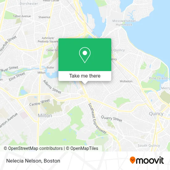
See Nelecia Nelson, Milton, on the map
Public Transit to Nelecia Nelson in Milton
Wondering how to get to Nelecia Nelson in Milton? Moovit helps you find the best way to get to Nelecia Nelson with step-by-step directions from the nearest public transit station.
Moovit provides free maps and live directions to help you navigate through your city. View schedules, routes, timetables, and find out how long does it take to get to Nelecia Nelson in real time.
Looking for the nearest stop or station to Nelecia Nelson? Check out this list of stops closest to your destination: Granite Ave @ Squantum St; Granite Ave @ Bassett St; Cedar Grove; Wollaston.
Bus: 215, 217, 245.Subway: RED LINE, MATTAPAN LINE.
Want to see if there’s another route that gets you there at an earlier time? Moovit helps you find alternative routes or times. Get directions from and directions to Nelecia Nelson easily from the Moovit App or Website.
We make riding to Nelecia Nelson easy, which is why over 1.7 million users, including users in Milton, trust Moovit as the best app for public transit. You don’t need to download an individual bus app or train app, Moovit is your all-in-one transit app that helps you find the best bus time or train time available.
For information on prices of bus and subway, costs and ride fares to Nelecia Nelson, please check the Moovit app.
Use the app to navigate to popular places including to the airport, hospital, stadium, grocery store, mall, coffee shop, school, college, and university.
Nelecia Nelson Address: Squantum St street in Milton
- Xmastreeforme,
- Manning, Ellynne Jenkins,
- 110squantum,
- Committe To Elective David McCarthy,
- Locksmith Inc Milton,
- Alfred D. Thomas Funeral Home,
- USPS Collection Box - Express,
- St. Agatha School,
- Milton Appliance Repair,
- St. Agatha Parish,
- Sorgi,
- The Cue,
- Mike's Fresh Sushi,
- The Plate,
- D'ANGELO,
- Corcoran Timothy Law Office,
- Flavin Pitts,
- FedEx,
- Goodrich Insurance,
- Rich4milton
Places Near Nelecia Nelson (Milton)
- Wang Theater, Boston,
- Faneuil Hall, Boston,
- Massachusetts General Hospital, Boston,
- Isabella Stewart Gardner Museum, Boston,
- Boston Common, Boston,
- Wilbur Theatre, Boston,
- Mgm Music Hall, Boston,
- Castle Island, Boston,
- Cheers, Boston,
- Boston Convention & Exhibition Center, Boston,
- Td Garden, Boston,
- Boston Children's Hospital, Boston,
- Leader Bank Pavilion (Leader Bank Pavillion), Boston,
- Boston Medical Center, Boston,
- Museum Of Science, Boston,
- Seaport District, Boston,
- Quincy Market, Boston,
- Prudential Center, Boston,
- North End, Boston,
- House Of Blues, Boston
How to get to popular places in Boston with public transit
Get around Milton by public transit!
Traveling around Milton has never been so easy. See step by step directions as you travel to any attraction, street or major public transit station. View bus and train schedules, arrival times, service alerts and detailed routes on a map, so you know exactly how to get to anywhere in Milton.
When traveling to any destination around Milton use Moovit's Live Directions with Get Off Notifications to know exactly where and how far to walk, how long to wait for your line, and how many stops are left. Moovit will alert you when it's time to get off — no need to constantly re-check whether yours is the next stop.
Wondering how to use public transit in Milton or how to pay for public transit in Milton? Moovit public transit app can help you navigate your way with public transit easily, and at minimum cost. It includes public transit fees, ticket prices, and costs. Looking for a map of Milton public transit lines? Moovit public transit app shows all public transit maps in Milton with all Bus, Train, Subway and Ferry routes and stops on an interactive map.
Boston has 4 transit type(s), including: Bus, Train, Subway and Ferry, operated by several transit agencies, including MBTA, Southeastern Regional Transit Authority, MetroWest Regional Transit Authority, Rhode Island Public Transit Authority, WRTA, Lowell Regional Transit Authority, Merrimack Valley Transit, Montachusett Regional Transit Authority, Cape Cod Regional Transit Authority, Brockton Area Transit Authority, Martha's Vineyard Transit Authority, the WAVE - Nantucket Regional Transit Authority, GATRA, Cape Ann Transportation Authority and Massport