How to get to Netstation by bus?
Click on the bus route to see step by step directions with maps, line arrival times and updated time schedules.
From Verduno, Verduno
36 minFrom Barolo, Barolo
310 minFrom Ferrero S.P.A, Alba
182 minFrom Medford Square, Alba
179 minFrom Cherasco, Cherasco
25 minFrom Messer Tulipano - Pralormo Castle, Pralormo
160 minFrom Pralormo Castle, Pralormo
160 minFrom Alba, Alba
185 minFrom Cupole Lido, Cavallermaggiore
190 min
How to get to Netstation by train?
Click on the train route to see step by step directions with maps, line arrival times and updated time schedules.
Bus stops near Netstation in Bra
Bus lines to Netstation in Bra
- 453, Bra - Roma Square,VIEW
- 035, Madonna Dei Fiori,VIEW
- 127, Sanfre Junction,VIEW
- 415, Carmagnola - Railway Station - Piazza XXX Aprile,VIEW
- 451, Bra - Roma Square,VIEW
- 452, Bra Line 2 - Pollenzo - Macellai - Bra - San Matteo,VIEW
- 454, Bra Line 4 - Bra - Cherasco,VIEW
- 455, Bra Line 1bis - Bra - Roreto - Veglia - Cappellazzo,VIEW
- 456, Bra Line 1 - Bra - Sanfre,VIEW
- 457, Bra Line 2bis - Bra - Riva,VIEW
- 021, Saluzzo - Savigliano - Bra,VIEW
- 032, Caramagna - Marene - Fossano,VIEW
- 045, Asti - Castagnole - Alba - with Branch to Cavallermaggiore and Santo Stefano Belbo,VIEW
- 066, Bra - La Morra - Vergne and Branch La Morra - Alba,VIEW
- 067, Monticello d'Alba - Santa Vittoria d'Alba - Bra,VIEW
- 070, Carmagnola - Bra and Racconigi Branch,VIEW
- 080, Cuneo - Bra - Alba,VIEW
- 183, Canale - Alba - Fossano ITIS,VIEW
- 183, Castellinaldo,VIEW
What are the closest stations to Netstation?
The closest stations to Netstation are:
- Bra - Via Umberto is 249 meters away, 4 min walk.
- Sanfre Junction is 495 meters away, 7 min walk.
- Bra - Roma Square is 527 meters away, 7 min walk.
- Bra - Railway Station is 625 meters away, 9 min walk.
- Bra (Gulliver) is 926 meters away, 12 min walk.
Which bus lines stop near Netstation?
These bus lines stop near Netstation: 035, 066, 070, 415.
Which train line stops near Netstation?
SFM4 (Alba)
What’s the nearest bus station to Netstation in Bra?
The nearest bus station to Netstation in Bra is Bra - Via Umberto. It’s a 4 min walk away.
What time is the first train to Netstation in Bra?
The SFM4 is the first train that goes to Netstation in Bra. It stops nearby at 5:38 AM.
What time is the last train to Netstation in Bra?
The SFM4 is the last train that goes to Netstation in Bra. It stops nearby at 9:29 PM.
What time is the first bus to Netstation in Bra?
The 415 is the first bus that goes to Netstation in Bra. It stops nearby at 4:44 AM.
What time is the last bus to Netstation in Bra?
The 415 is the last bus that goes to Netstation in Bra. It stops nearby at 10:40 PM.
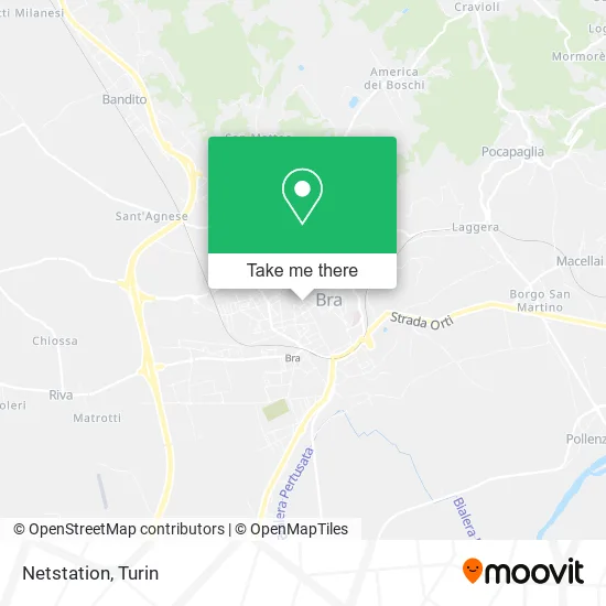
See Netstation, Bra, on the map
Public Transit to Netstation in Bra
Wondering how to get to Netstation in Bra? Moovit helps you find the best way to get to Netstation with step-by-step directions from the nearest public transit station.
Moovit provides free maps and live directions to help you navigate through your city. View schedules, routes, timetables, and find out how long does it take to get to Netstation in real time.
Looking for the nearest stop or station to Netstation? Check out this list of stops closest to your destination: Bra - Via Umberto; Sanfre Junction; Bra - Roma Square; Bra - Railway Station; Bra (Gulliver).
Bus: 035, 066, 070, 415, 453, 127, 451, 452, 454, 455, 456, 457, 021, 032, 045, 067, 183.Train: SFM4.
Want to see if there’s another route that gets you there at an earlier time? Moovit helps you find alternative routes or times. Get directions from and directions to Netstation easily from the Moovit App or Website.
We make riding to Netstation easy, which is why over 1.5 million users, including users in Bra, trust Moovit as the best app for public transit. You don’t need to download an individual bus app or train app, Moovit is your all-in-one transit app that helps you find the best bus time or train time available.
For information on prices of bus and train, costs and ride fares to Netstation, please check the Moovit app.
Use the app to navigate to popular places including to the airport, hospital, stadium, grocery store, mall, coffee shop, school, college, and university.
Netstation Address: Via Guglielmo Marconi, 67 12042 Bra street in Bra
- Racca Brothers Construction Company,
- Nicoletta Brizio,
- Last Travel,
- Simpson Cafe by Criscenzo Angelo,
- Le Verart Tattoo and Piercing,
- Cà Bianca 78,
- Dr. Maria Carla Ruggeri,
- Amoruso Michele,
- Quas Food Piemonte,
- Pajtesa Arben,
- Assiveb,
- Dr. Monasterolo Lorella,
- Vendocasa Bra,
- Barbero Real Estate Agency,
- Caritas Bra,
- Tecnocasa Group,
- L'Esteta Rosalba,
- Fornengo Lawyer Francesco and Germanetti Lawyer Francesco,
- Lawyer Francesco Germanetti,
- Lucibello Raffaele Surveyor
Places Near Netstation (Bra)
- Castle Square, Torino,
- San Luigi Hospital, Orbassano,
- Molinette Hospital, Torino,
- Sant'Anna Hospital, Torino,
- Shopville Le Gru, Grugliasco,
- Arturo Farinelli Street 25, Torino,
- New Gate, Torino,
- CTO Hospital, Torino,
- Koelliker Hospital, Torino,
- Porta Palazzo, Torino,
- Porta Susa, Torino,
- Le Gru, Grugliasco,
- San Giovanni Bosco Hospital, Torino,
- CDC Via Grazioli 11, Torino,
- Prarostino Street 10/A, Torino,
- Martini Hospital, Torino,
- Mauriziano Hospital, Torino,
- Regina Margherita Children's Hospital, Torino,
- Pacchiotti Giacinto Street 4, Torino,
- Cavour Street 31, Torino
How to get to popular places in Turin with public transit
Get around Bra by public transit!
Traveling around Bra has never been so easy. See step by step directions as you travel to any attraction, street or major public transit station. View bus and train schedules, arrival times, service alerts and detailed routes on a map, so you know exactly how to get to anywhere in Bra.
When traveling to any destination around Bra use Moovit's Live Directions with Get Off Notifications to know exactly where and how far to walk, how long to wait for your line, and how many stops are left. Moovit will alert you when it's time to get off — no need to constantly re-check whether yours is the next stop.
Wondering how to use public transit in Bra or how to pay for public transit in Bra? Moovit public transit app can help you navigate your way with public transit easily, and at minimum cost. It includes public transit fees, ticket prices, and costs. Looking for a map of Bra public transit lines? Moovit public transit app shows all public transit maps in Bra with all Bus, Train, Metro, Light Rail, Funicular and Gondola routes and stops on an interactive map.
Turin has 6 transit type(s), including: Bus, Train, Metro, Light Rail, Funicular and Gondola, operated by several transit agencies, including GTT Urban Service, GTT Suburban Service, GTT Tourist Services, Trenitalia, Arenaways, Sadem, Cavourese, Grandabus Consortium, Bus Company - GrandaBus, Bus Company, Gelosobus, Nuova S.a.a.r., SAC, Giors Bus Lines and Allasia Bus Lines