How to get to Neurosurgery Center-Southern by bus?
Click on the bus route to see step by step directions with maps, line arrival times and updated time schedules.
How to get to Neurosurgery Center-Southern by train?
Click on the train route to see step by step directions with maps, line arrival times and updated time schedules.
Bus stops near Neurosurgery Center-Southern in Fall River
Train station near Neurosurgery Center-Southern in Fall River
- Fall River Depot, 21 min walk,VIEW
Bus lines to Neurosurgery Center-Southern in Fall River
- 9, Fall River To New Bedford Express Via 195,VIEW
- 104, Robeson St Catholic Memorial,VIEW
- 108, Bcc & Durfee H.S.,VIEW
- 109, Bedford St,VIEW
- 199, Fall River To New Bedford Via Umass Dartmouth,VIEW
- 102, North Main St,VIEW
- 114, Fall River Terminal Via Route 6,VIEW
- 101, SRTA Fall River Terminal - Shove St and Broad St,VIEW
- 103, SRTA Fall River Terminal - Amity St and McMahon St,VIEW
- 107, Bay St Turn Around - SRTA Fall River Terminal,VIEW
- PETER PAN, Providence (Bus Terminal) Ri,VIEW
- PETER PAN, Hyannis,VIEW
- 105, Stafford Rd Via Southcoast Mkt Pl,VIEW
- 110, Terminal,VIEW
- 24L, Providence,VIEW
What are the closest stations to Neurosurgery Center-Southern?
The closest stations to Neurosurgery Center-Southern are:
- Bedford St And Eighth St is 363 yards away, 5 min walk.
- Mechanics Cooperative Bank is 370 yards away, 5 min walk.
- S Main St And Sullivan Dr is 399 yards away, 5 min walk.
- Transportation Center Fall River is 635 yards away, 8 min walk.
- Rodman St And Plymouth Ave is 706 yards away, 9 min walk.
- Pettine Transit Center (Fall River) is 733 yards away, 10 min walk.
- Fall River Depot is 1734 yards away, 21 min walk.
Which bus lines stop near Neurosurgery Center-Southern?
These bus lines stop near Neurosurgery Center-Southern: 102, 24L, 9, PETER PAN.
Which train line stops near Neurosurgery Center-Southern?
FALL RIVER/NEW BEDFORD (#1909 | Fall River)
What’s the nearest train station to Neurosurgery Center-Southern in Fall River?
The nearest train station to Neurosurgery Center-Southern in Fall River is Fall River Depot. It’s a 21 min walk away.
What’s the nearest bus station to Neurosurgery Center-Southern in Fall River?
The nearest bus stations to Neurosurgery Center-Southern in Fall River are Bedford St And Eighth St, Mechanics Cooperative Bank and S Main St And Sullivan Dr. The closest one is a 5 min walk away.
What time is the first train to Neurosurgery Center-Southern in Fall River?
The FALL RIVER/NEW BEDFORD is the first train that goes to Neurosurgery Center-Southern in Fall River. It stops nearby at 5:00 AM.
What time is the last train to Neurosurgery Center-Southern in Fall River?
The FALL RIVER/NEW BEDFORD is the last train that goes to Neurosurgery Center-Southern in Fall River. It stops nearby at 12:14 AM.
What time is the first bus to Neurosurgery Center-Southern in Fall River?
The 102 is the first bus that goes to Neurosurgery Center-Southern in Fall River. It stops nearby at 6:00 AM.
What time is the last bus to Neurosurgery Center-Southern in Fall River?
The 9 is the last bus that goes to Neurosurgery Center-Southern in Fall River. It stops nearby at 9:45 PM.
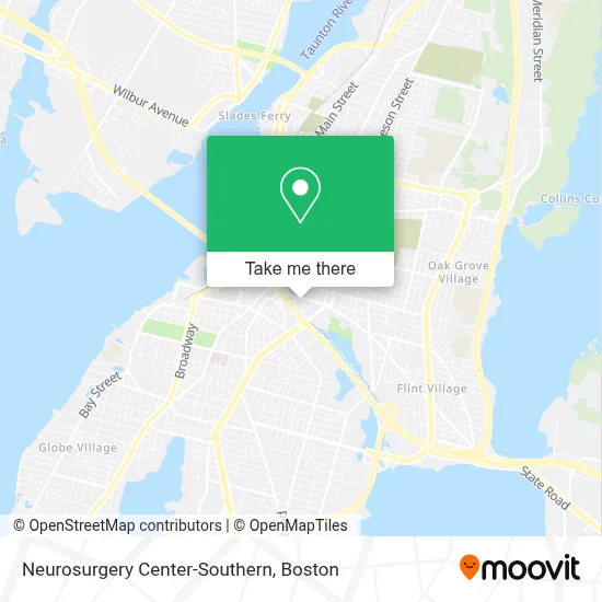
See Neurosurgery Center-Southern, Fall River, on the map
Public Transit to Neurosurgery Center-Southern in Fall River
Wondering how to get to Neurosurgery Center-Southern in Fall River? Moovit helps you find the best way to get to Neurosurgery Center-Southern with step-by-step directions from the nearest public transit station.
Moovit provides free maps and live directions to help you navigate through your city. View schedules, routes, timetables, and find out how long does it take to get to Neurosurgery Center-Southern in real time.
Looking for the nearest stop or station to Neurosurgery Center-Southern? Check out this list of stops closest to your destination: Bedford St And Eighth St; Mechanics Cooperative Bank; S Main St And Sullivan Dr; Transportation Center Fall River; Rodman St And Plymouth Ave; Pettine Transit Center (Fall River); Fall River Depot.
Bus: 102, 24L, 9, PETER PAN, 114, 104, 108, 109, 199, 101, 103, 107, 105, 110.Train: FALL RIVER/NEW BEDFORD.
Want to see if there’s another route that gets you there at an earlier time? Moovit helps you find alternative routes or times. Get directions from and directions to Neurosurgery Center-Southern easily from the Moovit App or Website.
We make riding to Neurosurgery Center-Southern easy, which is why over 1.7 million users, including users in Fall River, trust Moovit as the best app for public transit. You don’t need to download an individual bus app or train app, Moovit is your all-in-one transit app that helps you find the best bus time or train time available.
For information on prices of bus and train, costs and ride fares to Neurosurgery Center-Southern, please check the Moovit app.
Use the app to navigate to popular places including to the airport, hospital, stadium, grocery store, mall, coffee shop, school, college, and university.
Neurosurgery Center-Southern Address: 277 Pleasant St street in Fall River
- Bariatrics,
- Claudia Borges, FNP,
- Atalay Sahin DPM,
- Prima Care, PC,
- Bioskills of the North East,
- Spiritual Connections,
- Henry Vicini,
- Bilal Mahmood, MD,
- Hamzeh Saraireh, MD,
- Zuehike Stephen Phys,
- Bassem Nasser,
- Stefani K Hillrich, Pa,
- Kishore Lakshman, MD, MPH,
- Juan Carlos Mendieta,
- Patricia Tweedie, do,
- Kristen Morgan, DC,
- Nicole Centracchio,
- Krzysztof Kundo, MD,
- Neveen Bassaly, MD,
- Maria Rumsey
Places Near Neurosurgery Center-Southern (Fall River)
- Prudential Center, Boston,
- Td Garden, Boston,
- Boston Medical Center, Boston,
- House Of Blues, Boston,
- North End, Boston,
- Mgm Music Hall, Boston,
- Wang Theater, Boston,
- Boston Common, Boston,
- Boston Convention & Exhibition Center, Boston,
- Quincy Market, Boston,
- Cheers, Boston,
- Castle Island, Boston,
- Wilbur Theatre, Boston,
- Isabella Stewart Gardner Museum, Boston,
- Leader Bank Pavilion (Leader Bank Pavillion), Boston,
- Museum Of Science, Boston,
- Faneuil Hall, Boston,
- Seaport District, Boston,
- Boston Children's Hospital, Boston,
- Massachusetts General Hospital, Boston
How to get to popular places in Boston with public transit
Get around Fall River by public transit!
Traveling around Fall River has never been so easy. See step by step directions as you travel to any attraction, street or major public transit station. View bus and train schedules, arrival times, service alerts and detailed routes on a map, so you know exactly how to get to anywhere in Fall River.
When traveling to any destination around Fall River use Moovit's Live Directions with Get Off Notifications to know exactly where and how far to walk, how long to wait for your line, and how many stops are left. Moovit will alert you when it's time to get off — no need to constantly re-check whether yours is the next stop.
Wondering how to use public transit in Fall River or how to pay for public transit in Fall River? Moovit public transit app can help you navigate your way with public transit easily, and at minimum cost. It includes public transit fees, ticket prices, and costs. Looking for a map of Fall River public transit lines? Moovit public transit app shows all public transit maps in Fall River with all Bus, Train, Subway and Ferry routes and stops on an interactive map.
Boston has 4 transit type(s), including: Bus, Train, Subway and Ferry, operated by several transit agencies, including MBTA, Southeastern Regional Transit Authority, MetroWest Regional Transit Authority, Rhode Island Public Transit Authority, WRTA, Lowell Regional Transit Authority, Merrimack Valley Transit, Montachusett Regional Transit Authority, Cape Cod Regional Transit Authority, Brockton Area Transit Authority, Martha's Vineyard Transit Authority, the WAVE - Nantucket Regional Transit Authority, GATRA, Cape Ann Transportation Authority and Massport