How to get to Newport String Project by bus?
Click on the bus route to see step by step directions with maps, line arrival times and updated time schedules.
From Amazon Fulfillment Bos7, Fall River
104 minFrom B.M.C. Durfee High School, Fall River
73 minFrom Charlton Memorial Hospital, Fall River
93 minFrom Lizzy Borden House, Fall River
54 minFrom Barahona Express, Providence
101 minFrom Walmart Fall River Supercenter, Fall River
87 minFrom Bristol Community College, Fall River
74 min
Bus stops near Newport String Project in Boston
Bus lines to Newport String Project in Boston
What are the closest stations to Newport String Project?
The closest stations to Newport String Project are:
- Broadway After Ayrault is 107 yards away, 2 min walk.
- Marlborough Opposite Duke is 149 yards away, 2 min walk.
- Newport Transit Center (Stop A) is 429 yards away, 6 min walk.
- Newport Transit Center (Stop D) is 457 yards away, 6 min walk.
Which bus lines stop near Newport String Project?
These bus lines stop near Newport String Project: 24L, 60.
What’s the nearest bus station to Newport String Project in Boston?
The nearest bus stations to Newport String Project in Boston are Broadway After Ayrault and Marlborough Opposite Duke. The closest one is a 2 min walk away.
What time is the first bus to Newport String Project in Boston?
The 14 is the first bus that goes to Newport String Project in Boston. It stops nearby at 4:26 AM.
What time is the last bus to Newport String Project in Boston?
The 60 is the last bus that goes to Newport String Project in Boston. It stops nearby at 1:24 AM.
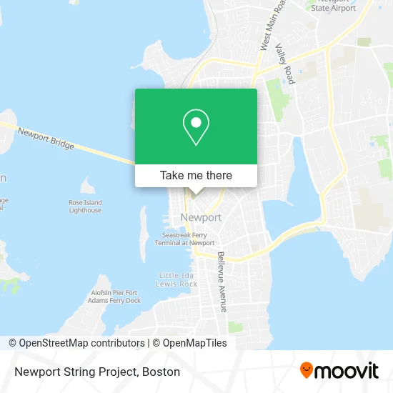
See Newport String Project, Boston, on the map
Public Transit to Newport String Project in Boston
Wondering how to get to Newport String Project in Boston? Moovit helps you find the best way to get to Newport String Project with step-by-step directions from the nearest public transit station.
Moovit provides free maps and live directions to help you navigate through your city. View schedules, routes, timetables, and find out how long does it take to get to Newport String Project in real time.
Looking for the nearest stop or station to Newport String Project? Check out this list of stops closest to your destination: Broadway After Ayrault; Marlborough Opposite Duke; Newport Transit Center (Stop A); Newport Transit Center (Stop D).
Bus: 24L, 60, 63, 67, 68, 64, 14.
Want to see if there’s another route that gets you there at an earlier time? Moovit helps you find alternative routes or times. Get directions from and directions to Newport String Project easily from the Moovit App or Website.
We make riding to Newport String Project easy, which is why over 1.7 million users, including users in Boston, trust Moovit as the best app for public transit. You don’t need to download an individual bus app or train app, Moovit is your all-in-one transit app that helps you find the best bus time or train time available.
For information on prices of bus, costs and ride fares to Newport String Project, please check the Moovit app.
Use the app to navigate to popular places including to the airport, hospital, stadium, grocery store, mall, coffee shop, school, college, and university.
Newport String Project Address: 16 Warner St street in Boston
- Aidinoffs Liquor Store,
- Seven Oceans Video & Digital Media,
- Common Burial Ground,
- 39 Farewell,
- Kg Services,
- Oliver Hazard Perry Inc,
- The Spiritual Woman Massage & Wellness,
- Masonic Lodge,
- Dolly Parton's Imagination Library, Newport Ri,
- Tender Care Learning Center,
- John S Crimmins RL Est Apprsr,
- Literacy Volunteers of East Bay,
- Mad Hatter Bakery,
- Friends Meetinghouse,
- Young Designs Floral Studio,
- Bottaro Law Firm,
- Maritime Tribes,
- Newport Window Restoration,
- Damon Co,
- Federal Management Company
Places Near Newport String Project (Boston)
- House Of Blues, Boston,
- Seaport District, Boston,
- Leader Bank Pavilion (Leader Bank Pavillion), Boston,
- Td Garden, Boston,
- North End, Boston,
- Castle Island, Boston,
- Boston Common, Boston,
- Boston Medical Center, Boston,
- Museum Of Science, Boston,
- Massachusetts General Hospital, Boston,
- Isabella Stewart Gardner Museum, Boston,
- Prudential Center, Boston,
- Wang Theater, Boston,
- Wilbur Theatre, Boston,
- Boston Convention & Exhibition Center, Boston,
- Faneuil Hall, Boston,
- Boston Children's Hospital, Boston,
- Mgm Music Hall, Boston,
- Quincy Market, Boston,
- Cheers, Boston
How to get to popular places in Boston with public transit
Get around Boston by public transit!
Traveling around Boston has never been so easy. See step by step directions as you travel to any attraction, street or major public transit station. View bus and train schedules, arrival times, service alerts and detailed routes on a map, so you know exactly how to get to anywhere in Boston.
When traveling to any destination around Boston use Moovit's Live Directions with Get Off Notifications to know exactly where and how far to walk, how long to wait for your line, and how many stops are left. Moovit will alert you when it's time to get off — no need to constantly re-check whether yours is the next stop.
Wondering how to use public transit in Boston or how to pay for public transit in Boston? Moovit public transit app can help you navigate your way with public transit easily, and at minimum cost. It includes public transit fees, ticket prices, and costs. Looking for a map of Boston public transit lines? Moovit public transit app shows all public transit maps in Boston with all Bus, Train, Subway and Ferry routes and stops on an interactive map.
Boston has 4 transit type(s), including: Bus, Train, Subway and Ferry, operated by several transit agencies, including MBTA, Southeastern Regional Transit Authority, MetroWest Regional Transit Authority, Rhode Island Public Transit Authority, WRTA, Lowell Regional Transit Authority, Merrimack Valley Transit, Montachusett Regional Transit Authority, Cape Cod Regional Transit Authority, Brockton Area Transit Authority, Martha's Vineyard Transit Authority, the WAVE - Nantucket Regional Transit Authority, GATRA, Cape Ann Transportation Authority and Massport