Directions to Newton Branch with public transportation
The following transit lines have routes that pass near Newton Branch
 Bus: 52, 59.
- Train: NEEDHAM.
- Subway: GREEN LINE D.
How to get to Newton Branch by bus?
Click on the bus route to see step by step directions with maps, line arrival times and updated time schedules.
From Brigham & Women's Hospital
71 minFrom Boston City Hall
99 minFrom Hyatt Regency Cambridge
83 minFrom Target Fenway
74 minFrom Wentworth Institute Of Technology
67 minFrom the mall at rockingham park mall
58 minFrom Regina Pizzeria
62 minFrom Eastern Standard Kitchen & Drinks
67 minFrom Hyatt Regency Cambridge - Overlooking Boston
71 minFrom Dedham District Court
96 min
How to get to Newton Branch by train?
Click on the train route to see step by step directions with maps, line arrival times and updated time schedules.
How to get to Newton Branch by subway?
Click on the subway route to see step by step directions with maps, line arrival times and updated time schedules.
From Brigham & Women's Hospital
69 minFrom Boston City Hall
72 minFrom Hyatt Regency Cambridge
66 minFrom Target Fenway
50 minFrom Wentworth Institute Of Technology
65 minFrom the mall at rockingham park mall
39 minFrom Regina Pizzeria
64 minFrom Eastern Standard Kitchen & Drinks
48 minFrom Hyatt Regency Cambridge - Overlooking Boston
66 min
Subway station near Newton Branch
- Eliot, 10 min walk,VIEW
Bus stop near Newton Branch
- Needham St @ Columbia Ave, 12 min walk,VIEW
Train station near Newton Branch
- Needham Heights, 43 min walk,VIEW
Bus lines to Newton Branch
- 59, Needham Junction Via Needham St,VIEW
What are the closest stations to Newton Branch?
The closest stations to Newton Branch are:
- Eliot is 851 yards away, 10 min walk.
- Needham St @ Columbia Ave is 958 yards away, 12 min walk.
- Needham Heights is 3649 yards away, 43 min walk.
Which bus lines stop near Newton Branch?
These bus lines stop near Newton Branch: 52, 59.
Which train line stops near Newton Branch?
NEEDHAM (#625 | Needham Heights)
Which subway line stops near Newton Branch?
GREEN LINE D (Riverside)
What’s the nearest subway station to Newton Branch?
The nearest subway station to Newton Branch is Eliot. It’s a 10 min walk away.
What’s the nearest bus station to Newton Branch?
The nearest bus station to Newton Branch is Needham St @ Columbia Ave. It’s a 12 min walk away.
What time is the first subway to Newton Branch?
The GREEN LINE D is the first subway that goes to Newton Branch. It stops nearby at 4:48 AM.
What time is the last subway to Newton Branch?
The GREEN LINE D is the last subway that goes to Newton Branch. It stops nearby at 2:44 AM.
What time is the first train to Newton Branch?
The NEEDHAM is the first train that goes to Newton Branch. It stops nearby at 7:05 AM.
What time is the last train to Newton Branch?
The NEEDHAM is the last train that goes to Newton Branch. It stops nearby at 6:38 PM.
What time is the first bus to Newton Branch?
The 59 is the first bus that goes to Newton Branch. It stops nearby at 6:20 AM.
What time is the last bus to Newton Branch?
The 59 is the last bus that goes to Newton Branch. It stops nearby at 8:04 PM.
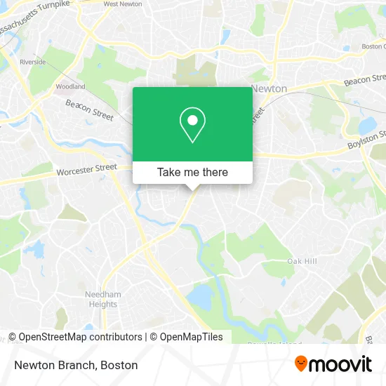
See Newton Branch on the map
Public Transportation to Newton Branch
Wondering how to get to Newton Branch? Moovit helps you find the best way to get to Newton Branch with step-by-step directions from the nearest public transit station.
Moovit provides free maps and live directions to help you navigate through your city. View schedules, routes, timetables, and find out how long does it take to get to Newton Branch in real time.
Looking for the nearest stop or station to Newton Branch? Check out this list of stops closest to your destination: Eliot; Needham St @ Columbia Ave; Needham Heights.
Bus: 52, 59.Train: NEEDHAM.Subway: GREEN LINE D.
Want to see if there’s another route that gets you there at an earlier time? Moovit helps you find alternative routes or times. Get directions from and directions to Newton Branch easily from the Moovit App or Website.
We make riding to Newton Branch easy, which is why over 1.7 million users, including users in Newton, trust Moovit as the best app for public transit. You don’t need to download an individual bus app or train app, Moovit is your all-in-one transit app that helps you find the best bus time or train time available.
For information on prices of bus, subway and train, costs and ride fares to Newton Branch, please check the Moovit app.
Use the app to navigate to popular places including to the airport, hospital, stadium, grocery store, mall, coffee shop, school, college, and university.
Newton Branch Address: 165 Needham St #N303 street in Newton
- AAA,
- Kaipod Learning,
- 1 24 Hour Emergency Locksmith,
- Security Design Consultants,
- Super Dough Pizza Co LLC,
- Newton Nexus / Station 1,
- Countryside School,
- The TJX Companies,
- Dave's Hot Chicken,
- DUNKIN',
- Nerds To Go,
- Great Hill Dental Newton,
- One Two Locksmith,
- Carter's,
- Fox's,
- Mfi Plumbing,
- Antique Restoring Stud,
- Msa Mortgage,
- District 118 Kitchen and Bar,
- Lazzoni Furniture - Newton
Places Near Newton Branch
- Mgm Music Hall, Boston,
- Castle Island, Boston,
- Boston Convention & Exhibition Center, Boston,
- Cheers, Boston,
- Prudential Center, Boston,
- Seaport District, Boston,
- Boston Medical Center, Boston,
- Boston Children's Hospital, Boston,
- Isabella Stewart Gardner Museum, Boston,
- Boston Common, Boston,
- Museum Of Science, Boston,
- Wang Theater, Boston,
- Leader Bank Pavilion (Leader Bank Pavillion), Boston,
- North End, Boston,
- Quincy Market, Boston,
- Massachusetts General Hospital, Boston,
- Td Garden, Boston,
- House Of Blues, Boston,
- Faneuil Hall, Boston,
- Wilbur Theatre, Boston
How to get to popular places in Boston with public transit
Get around Newton by public transit!
Traveling around Newton has never been so easy. See step by step directions as you travel to any attraction, street or major public transit station. View bus and train schedules, arrival times, service alerts and detailed routes on a map, so you know exactly how to get to anywhere in Newton.
When traveling to any destination around Newton use Moovit's Live Directions with Get Off Notifications to know exactly where and how far to walk, how long to wait for your line, and how many stops are left. Moovit will alert you when it's time to get off — no need to constantly re-check whether yours is the next stop.
Wondering how to use public transit in Newton or how to pay for public transit in Newton? Moovit public transit app can help you navigate your way with public transit easily, and at minimum cost. It includes public transit fees, ticket prices, and costs. Looking for a map of Newton public transit lines? Moovit public transit app shows all public transit maps in Newton with all Bus, Train, Subway and Ferry routes and stops on an interactive map.
Boston has 4 transit type(s), including: Bus, Train, Subway and Ferry, operated by several transit agencies, including MBTA, Southeastern Regional Transit Authority, MetroWest Regional Transit Authority, Rhode Island Public Transit Authority, WRTA, Lowell Regional Transit Authority, Merrimack Valley Transit, Montachusett Regional Transit Authority, Cape Cod Regional Transit Authority, Brockton Area Transit Authority, Martha's Vineyard Transit Authority, the WAVE - Nantucket Regional Transit Authority, GATRA, Cape Ann Transportation Authority and Massport