How to get to Nixtamal by bus?
Click on the bus route to see step by step directions with maps, line arrival times and updated time schedules.
From Central de Autobuses de Aguascalientes, Aguascalientes
39 minFrom Anexo Palomino, Aguascalientes
44 minFrom Expoplaza, Aguascalientes
45 minFrom Fraccionamiento Los Laureles, Aguascalientes
57 minFrom Fracc. José López Portillo, Aguascalientes
53 minFrom Agostaderito, Aguascalientes
50 minFrom Avenida de los Maestros, Aguascalientes
52 minFrom Registro Civil, Aguascalientes
45 minFrom Junta Federal de Conciliacion y Arbitraje No. 24, Aguascalientes
46 minFrom Alvaro Obregon, Aguascalientes
45 min
Bus stops near Nixtamal in Aguascalientes
Bus lines to Nixtamal in Aguascalientes
What are the closest stations to Nixtamal?
The closest stations to Nixtamal are:
- Licenciado Miguel De La Madrid, 2822 is 19 meters away, 1 min walk.
- Avenida Paseo De Las Maravillas, 300 is 592 meters away, 8 min walk.
- Siglo Xxi, 107 is 601 meters away, 9 min walk.
Which bus lines stop near Nixtamal?
These bus lines stop near Nixtamal: RUTA 04, RUTA 11, RUTA 33, RUTA 50.
What’s the nearest bus station to Nixtamal in Aguascalientes?
The nearest bus station to Nixtamal in Aguascalientes is Licenciado Miguel De La Madrid, 2822. It’s a 1 min walk away.
What time is the first bus to Nixtamal in Aguascalientes?
The RUTA 50 is the first bus that goes to Nixtamal in Aguascalientes. It stops nearby at 5:49 AM.
What time is the last bus to Nixtamal in Aguascalientes?
The RUTA 50 is the last bus that goes to Nixtamal in Aguascalientes. It stops nearby at 10:48 PM.
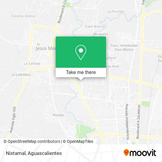
See Nixtamal, Aguascalientes, on the map
Public Transit to Nixtamal in Aguascalientes
Wondering how to get to Nixtamal in Aguascalientes? Moovit helps you find the best way to get to Nixtamal with step-by-step directions from the nearest public transit station.
Moovit provides free maps and live directions to help you navigate through your city. View schedules, routes, timetables, and find out how long does it take to get to Nixtamal in real time.
Looking for the nearest stop or station to Nixtamal? Check out this list of stops closest to your destination: Licenciado Miguel De La Madrid; Avenida Paseo De Las Maravillas; Siglo Xxi.
Bus: RUTA 04, RUTA 11, RUTA 33, RUTA 50, RUTA 38, RUTA 06.
Want to see if there’s another route that gets you there at an earlier time? Moovit helps you find alternative routes or times. Get directions from and directions to Nixtamal easily from the Moovit App or Website.
We make riding to Nixtamal easy, which is why over 1.5 million users, including users in Aguascalientes, trust Moovit as the best app for public transit. You don’t need to download an individual bus app or train app, Moovit is your all-in-one transit app that helps you find the best bus time or train time available.
For information on prices of bus, costs and ride fares to Nixtamal, please check the Moovit app.
Use the app to navigate to popular places including to the airport, hospital, stadium, grocery store, mall, coffee shop, school, college, and university.
Nixtamal Address: Avenida Paseo de las Maravillas 100, Corral de Barrancos, 20900 Jesús María, Aguascalientes street in Aguascalientes
- Compass Ags,
- Arabian,
- Nozomi Sushi,
- Villa Jengibre,
- Nostro Pizza&Vino,
- Um Osler,
- Santa Francisca Cenaduria y Antojitos,
- Los Hijos del Zeamahiz,
- Maariscos Maravillas,
- Oficinas de la Nona Lola,
- Terraza Baldia,
- Universidad Cuauhtemoc Plantel Aguascalientes,
- Aluform Canceleria de Aluminio y Cristal,
- Carnicería Santo Toribio,
- Tigre Negro Norte,
- Welder House,
- Bodegas Bonart,
- Catania Spazio,
- Consultorio Dental Dental Solutions,
- Top Hill School
Places Near Nixtamal (Aguascalientes)
- Nuevo Hospital Hidalgo, Aguascalientes,
- Centro, Aguascalientes,
- Jesús María, Aguascalientes,
- Hospital Imss No. 3, Aguascalientes,
- ESPACIOS, Aguascalientes,
- Central De Autobuses, Aguascalientes,
- Aeropuerto de Aguascalientes S.A. de C.V., Aguascalientes,
- Villas de Nuestra Señora de la Asunción, Aguascalientes,
- Blvd. Luis Donaldo Colosio, Aguascalientes,
- La Isla San Marcos, Aguascalientes,
- clinica 3 uaa, Aguascalientes,
- Terminal De Combis, Aguascalientes,
- Agropecuario, Aguascalientes,
- Parque Las Tres Centurias, Aguascalientes,
- Universidad Autónoma de Aguascalientes, Aguascalientes,
- Isla San Marcos, Aguascalientes,
- Imss Clinica 1, Aguascalientes,
- Ciudad industrial, Aguascalientes,
- Villasuncion, Aguascalientes,
- Centro Comercial Altaria, Aguascalientes
How to get to popular places in Aguascalientes with public transit
Get around Aguascalientes by public transit!
Traveling around Aguascalientes has never been so easy. See step by step directions as you travel to any attraction, street or major public transit station. View bus and train schedules, arrival times, service alerts and detailed routes on a map, so you know exactly how to get to anywhere in Aguascalientes.
When traveling to any destination around Aguascalientes use Moovit's Live Directions with Get Off Notifications to know exactly where and how far to walk, how long to wait for your line, and how many stops are left. Moovit will alert you when it's time to get off — no need to constantly re-check whether yours is the next stop.
Wondering how to use public transit in Aguascalientes or how to pay for public transit in Aguascalientes? Moovit public transit app can help you navigate your way with public transit easily, and at minimum cost. It includes public transit fees, ticket prices, and costs. Looking for a map of Aguascalientes public transit lines? Moovit public transit app shows all public transit maps in Aguascalientes with all bus routes and stops on an interactive map.
Aguascalientes has 1 transit type(s), including: bus, operated by several transit agencies, including Coordinación General de Movilidad