How to get to Northern Middlesex Regional Emergency Communications Center by bus?
Click on the bus route to see step by step directions with maps, line arrival times and updated time schedules.
How to get to Northern Middlesex Regional Emergency Communications Center by train?
Click on the train route to see step by step directions with maps, line arrival times and updated time schedules.
Train station near Northern Middlesex Regional Emergency Communications Center in Boston
- North Billerica, 36 min walk,VIEW
What are the closest stations to Northern Middlesex Regional Emergency Communications Center?
The closest stations to Northern Middlesex Regional Emergency Communications Center are:
- North Billerica is 3036 yards away, 36 min walk.
Which bus lines stop near Northern Middlesex Regional Emergency Communications Center?
These bus lines stop near Northern Middlesex Regional Emergency Communications Center: 12, 13.
Which train line stops near Northern Middlesex Regional Emergency Communications Center?
LOWELL (#331 | Lowell)
What time is the first train to Northern Middlesex Regional Emergency Communications Center in Boston?
The LOWELL is the first train that goes to Northern Middlesex Regional Emergency Communications Center in Boston. It stops nearby at 5:08 AM.
What time is the last train to Northern Middlesex Regional Emergency Communications Center in Boston?
The LOWELL is the last train that goes to Northern Middlesex Regional Emergency Communications Center in Boston. It stops nearby at 12:20 AM.
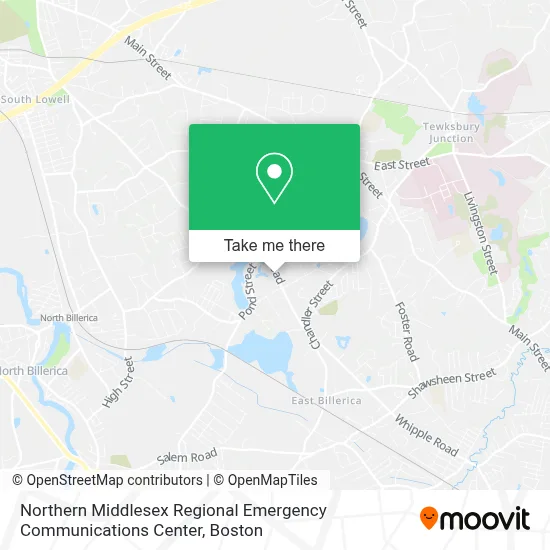
See Northern Middlesex Regional Emergency Communications Center, Boston, on the map
Public Transit to Northern Middlesex Regional Emergency Communications Center in Boston
Wondering how to get to Northern Middlesex Regional Emergency Communications Center in Boston? Moovit helps you find the best way to get to Northern Middlesex Regional Emergency Communications Center with step-by-step directions from the nearest public transit station.
Moovit provides free maps and live directions to help you navigate through your city. View schedules, routes, timetables, and find out how long does it take to get to Northern Middlesex Regional Emergency Communications Center in real time.
Looking for the nearest stop or station to Northern Middlesex Regional Emergency Communications Center? Check out this list of stops closest to your destination: North Billerica.
Bus: 12, 13.Train: LOWELL.
Want to see if there’s another route that gets you there at an earlier time? Moovit helps you find alternative routes or times. Get directions from and directions to Northern Middlesex Regional Emergency Communications Center easily from the Moovit App or Website.
We make riding to Northern Middlesex Regional Emergency Communications Center easy, which is why over 1.7 million users, including users in Boston, trust Moovit as the best app for public transit. You don’t need to download an individual bus app or train app, Moovit is your all-in-one transit app that helps you find the best bus time or train time available.
For information on prices of bus and train, costs and ride fares to Northern Middlesex Regional Emergency Communications Center, please check the Moovit app.
Use the app to navigate to popular places including to the airport, hospital, stadium, grocery store, mall, coffee shop, school, college, and university.
Northern Middlesex Regional Emergency Communications Center Address: 987 Whipple Rd street in Boston
- Jack Home Projects,
- Scarpa Web Development,
- JRT Excavating,
- Earl's Repair Service, Inc.,
- Shd Engineering,
- Tewksbury,
- The Sardinas,
- B & C Carpentry,
- VIP Employment Solutions,
- JCK Drum Sax Shop,
- Renew Dental PC,
- Tewksbury Office Phone Number,
- Click To Open and Close Visual Accessibility Options. the Options Include Increasing Font-Size and,
- Auntie Dog,
- Discount Madness,
- Mass Air Systems,
- Psychic Marie,
- Masroor Hassan - TD Wealth Financial Advisor,
- Gorilla Crew Fitness,
- Vanity Beauty Lounge
Places Near Northern Middlesex Regional Emergency Communications Center (Boston)
- House Of Blues, Boston,
- Wilbur Theatre, Boston,
- Prudential Center, Boston,
- Museum Of Science, Boston,
- Castle Island, Boston,
- North End, Boston,
- Boston Children's Hospital, Boston,
- Faneuil Hall, Boston,
- Boston Medical Center, Boston,
- Cheers, Boston,
- Leader Bank Pavilion (Leader Bank Pavillion), Boston,
- Massachusetts General Hospital, Boston,
- Mgm Music Hall, Boston,
- Seaport District, Boston,
- Boston Common, Boston,
- Td Garden, Boston,
- Wang Theater, Boston,
- Boston Convention & Exhibition Center, Boston,
- Quincy Market, Boston,
- Isabella Stewart Gardner Museum, Boston
How to get to popular places in Boston with public transit
Get around Boston by public transit!
Traveling around Boston has never been so easy. See step by step directions as you travel to any attraction, street or major public transit station. View bus and train schedules, arrival times, service alerts and detailed routes on a map, so you know exactly how to get to anywhere in Boston.
When traveling to any destination around Boston use Moovit's Live Directions with Get Off Notifications to know exactly where and how far to walk, how long to wait for your line, and how many stops are left. Moovit will alert you when it's time to get off — no need to constantly re-check whether yours is the next stop.
Wondering how to use public transit in Boston or how to pay for public transit in Boston? Moovit public transit app can help you navigate your way with public transit easily, and at minimum cost. It includes public transit fees, ticket prices, and costs. Looking for a map of Boston public transit lines? Moovit public transit app shows all public transit maps in Boston with all Bus, Train, Subway and Ferry routes and stops on an interactive map.
Boston has 4 transit type(s), including: Bus, Train, Subway and Ferry, operated by several transit agencies, including MBTA, Southeastern Regional Transit Authority, MetroWest Regional Transit Authority, Rhode Island Public Transit Authority, WRTA, Lowell Regional Transit Authority, Merrimack Valley Transit, Montachusett Regional Transit Authority, Cape Cod Regional Transit Authority, Brockton Area Transit Authority, Martha's Vineyard Transit Authority, the WAVE - Nantucket Regional Transit Authority, GATRA, Cape Ann Transportation Authority and Massport