How to get to Notre Dame Long Term Care Center by bus?
Click on the bus route to see step by step directions with maps, line arrival times and updated time schedules.
Bus stops near Notre Dame Long Term Care Center in Worcester
Bus lines to Notre Dame Long Term Care Center in Worcester
What are the closest stations to Notre Dame Long Term Care Center?
The closest stations to Notre Dame Long Term Care Center are:
- Plantation + Natural History is 247 yards away, 3 min walk.
- Stop & Shop Lincoln Plaza is 701 yards away, 9 min walk.
Which bus line stops near Notre Dame Long Term Care Center?
16 (Central Hub→Lincoln Plaza)
What’s the nearest bus station to Notre Dame Long Term Care Center in Worcester?
The nearest bus station to Notre Dame Long Term Care Center in Worcester is Plantation + Natural History. It’s a 3 min walk away.
What time is the first bus to Notre Dame Long Term Care Center in Worcester?
The 16 is the first bus that goes to Notre Dame Long Term Care Center in Worcester. It stops nearby at 6:26 AM.
What time is the last bus to Notre Dame Long Term Care Center in Worcester?
The 16 is the last bus that goes to Notre Dame Long Term Care Center in Worcester. It stops nearby at 10:03 PM.
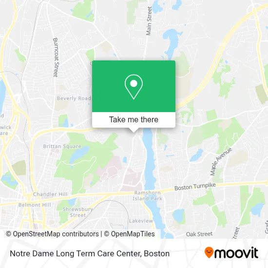
See Notre Dame Long Term Care Center, Worcester, on the map
Public Transit to Notre Dame Long Term Care Center in Worcester
Wondering how to get to Notre Dame Long Term Care Center in Worcester? Moovit helps you find the best way to get to Notre Dame Long Term Care Center with step-by-step directions from the nearest public transit station.
Moovit provides free maps and live directions to help you navigate through your city. View schedules, routes, timetables, and find out how long does it take to get to Notre Dame Long Term Care Center in real time.
Looking for the nearest stop or station to Notre Dame Long Term Care Center? Check out this list of stops closest to your destination: Plantation + Natural History; Stop & Shop Lincoln Plaza.
Bus: 16, 31.
Want to see if there’s another route that gets you there at an earlier time? Moovit helps you find alternative routes or times. Get directions from and directions to Notre Dame Long Term Care Center easily from the Moovit App or Website.
We make riding to Notre Dame Long Term Care Center easy, which is why over 1.7 million users, including users in Worcester, trust Moovit as the best app for public transit. You don’t need to download an individual bus app or train app, Moovit is your all-in-one transit app that helps you find the best bus time or train time available.
For information on prices of bus and train, costs and ride fares to Notre Dame Long Term Care Center, please check the Moovit app.
Use the app to navigate to popular places including to the airport, hospital, stadium, grocery store, mall, coffee shop, school, college, and university.
Notre Dame Long Term Care Center Address: 559 Plantation St street in Worcester
- Notre Dame Affinity Care,
- East West Trail,
- Worcester Housing Authority,
- Bernadette V Meade do,
- ATM,
- Grand Residences by Marriott-Worcester,
- My Desk,
- Lake Avenue Recovery,
- Properties Princeton,
- American Red Cross,
- Goddard Cadet Squadron,
- 425 North Lake Ave,
- Speedy Mini Mart,
- United States Government,
- Regalcare at Worcester,
- East Side Trail-Trinity Spur Trailhead,
- Hunter Foss Corporate Graphic Designer & Graphic Artist,
- Lincoln Plaza,
- Emmaus City Church,
- Scratch and Sip
Places Near Notre Dame Long Term Care Center (Worcester)
- Boston Convention & Exhibition Center, Boston,
- Leader Bank Pavilion (Leader Bank Pavillion), Boston,
- Prudential Center, Boston,
- House Of Blues, Boston,
- Mgm Music Hall, Boston,
- Boston Children's Hospital, Boston,
- Boston Medical Center, Boston,
- Wang Theater, Boston,
- Faneuil Hall, Boston,
- Massachusetts General Hospital, Boston,
- Td Garden, Boston,
- Boston Common, Boston,
- Cheers, Boston,
- Museum Of Science, Boston,
- Quincy Market, Boston,
- North End, Boston,
- Isabella Stewart Gardner Museum, Boston,
- Wilbur Theatre, Boston,
- Castle Island, Boston,
- Seaport District, Boston
How to get to popular places in Boston with public transit
Get around Worcester by public transit!
Traveling around Worcester has never been so easy. See step by step directions as you travel to any attraction, street or major public transit station. View bus and train schedules, arrival times, service alerts and detailed routes on a map, so you know exactly how to get to anywhere in Worcester.
When traveling to any destination around Worcester use Moovit's Live Directions with Get Off Notifications to know exactly where and how far to walk, how long to wait for your line, and how many stops are left. Moovit will alert you when it's time to get off — no need to constantly re-check whether yours is the next stop.
Wondering how to use public transit in Worcester or how to pay for public transit in Worcester? Moovit public transit app can help you navigate your way with public transit easily, and at minimum cost. It includes public transit fees, ticket prices, and costs. Looking for a map of Worcester public transit lines? Moovit public transit app shows all public transit maps in Worcester with all Bus, Train, Subway and Ferry routes and stops on an interactive map.
Boston has 4 transit type(s), including: Bus, Train, Subway and Ferry, operated by several transit agencies, including MBTA, Southeastern Regional Transit Authority, MetroWest Regional Transit Authority, Rhode Island Public Transit Authority, WRTA, Lowell Regional Transit Authority, Merrimack Valley Transit, Montachusett Regional Transit Authority, Cape Cod Regional Transit Authority, Brockton Area Transit Authority, Martha's Vineyard Transit Authority, the WAVE - Nantucket Regional Transit Authority, GATRA, Cape Ann Transportation Authority and Massport