Directions to Nourish For Life (Cambridge) with public transportation
The following transit lines have routes that pass near Nourish For Life
 Bus: 77, 88, 89, 87, 89/93.
- Train: FITCHBURG, RED LINE.
- Subway: RED LINE, GREEN LINE B, GREEN LINE C, GREEN LINE E.
How to get to Nourish For Life by bus?
Click on the bus route to see step by step directions with maps, line arrival times and updated time schedules.
From Mspca, Boston
74 minFrom Best Buy, Boston
68 minFrom Andrew Station - MBTA - Red Line, Boston
68 minFrom Homewood Suites-Boston Seaport District, Boston
78 minFrom Citrus & Salt, Boston
52 minFrom Boston Children's Hospital at Waltham, Waltham
86 minFrom Battery Wharf Hotel, Boston
64 minFrom Rosie's Place, Boston
47 minFrom Hampton Inn Boston Seaport District (Hampton Inn-Hampton Inn Boston), Boston
79 minFrom Seaport District, Boston
77 min
How to get to Nourish For Life by train?
Click on the train route to see step by step directions with maps, line arrival times and updated time schedules.
How to get to Nourish For Life by subway?
Click on the subway route to see step by step directions with maps, line arrival times and updated time schedules.
From Mspca, Boston
77 minFrom Best Buy, Boston
54 minFrom Andrew Station - MBTA - Red Line, Boston
43 minFrom Homewood Suites-Boston Seaport District, Boston
61 minFrom Citrus & Salt, Boston
49 minFrom Battery Wharf Hotel, Boston
53 minFrom Rosie's Place, Boston
58 minFrom Hampton Inn Boston Seaport District (Hampton Inn-Hampton Inn Boston), Boston
61 minFrom Seaport District, Boston
54 min
Bus stops near Nourish For Life in Cambridge
Train station near Nourish For Life in Cambridge
- Porter, 9 min walk,VIEW
Subway station near Nourish For Life in Cambridge
- Medford/Tufts Station, 18 min walk,VIEW
Bus lines to Nourish For Life in Cambridge
What are the closest stations to Nourish For Life?
The closest stations to Nourish For Life are:
- Broadway @ Dickson St is 342 yards away, 5 min walk.
- Broadway @ Weston Ave is 363 yards away, 5 min walk.
- Massachusetts Ave @ Magoun St is 382 yards away, 5 min walk.
- Massachusetts Ave @ Route 16 is 491 yards away, 6 min walk.
- Porter is 667 yards away, 9 min walk.
- Medford/Tufts Station is 1448 yards away, 18 min walk.
Which bus lines stop near Nourish For Life?
These bus lines stop near Nourish For Life: 77, 88, 89.
Which train line stops near Nourish For Life?
FITCHBURG (#410 | North Station)
Which subway line stops near Nourish For Life?
RED LINE (Alewife)
What’s the nearest subway station to Nourish For Life in Cambridge?
The nearest subway station to Nourish For Life in Cambridge is Medford/Tufts Station. It’s a 18 min walk away.
What’s the nearest train station to Nourish For Life in Cambridge?
The nearest train station to Nourish For Life in Cambridge is Porter. It’s a 9 min walk away.
What’s the nearest bus station to Nourish For Life in Cambridge?
The nearest bus stations to Nourish For Life in Cambridge are Broadway @ Dickson St, Broadway @ Weston Ave and Massachusetts Ave @ Magoun St. The closest one is a 5 min walk away.
What time is the first subway to Nourish For Life in Cambridge?
The GREEN LINE E is the first subway that goes to Nourish For Life in Cambridge. It stops nearby at 4:55 AM.
What time is the last subway to Nourish For Life in Cambridge?
The GREEN LINE E is the last subway that goes to Nourish For Life in Cambridge. It stops nearby at 2:41 AM.
What time is the first train to Nourish For Life in Cambridge?
The FITCHBURG is the first train that goes to Nourish For Life in Cambridge. It stops nearby at 5:47 AM.
What time is the last train to Nourish For Life in Cambridge?
The FITCHBURG is the last train that goes to Nourish For Life in Cambridge. It stops nearby at 12:17 AM.
What time is the first bus to Nourish For Life in Cambridge?
The 89/93 is the first bus that goes to Nourish For Life in Cambridge. It stops nearby at 4:31 AM.
What time is the last bus to Nourish For Life in Cambridge?
The 87 is the last bus that goes to Nourish For Life in Cambridge. It stops nearby at 1:37 AM.
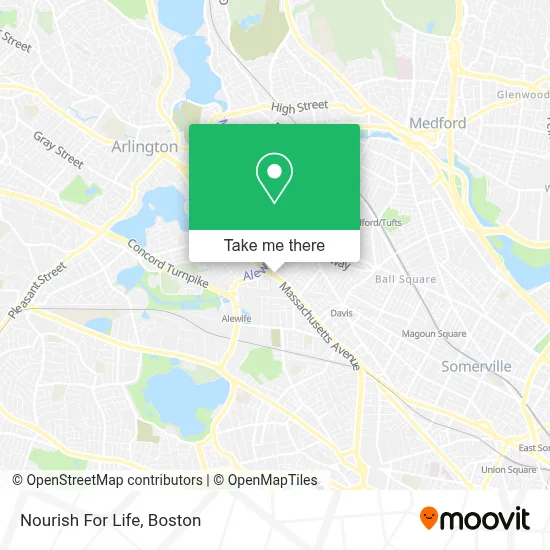
See Nourish For Life, Cambridge, on the map
Public Transit to Nourish For Life in Cambridge
Wondering how to get to Nourish For Life in Cambridge? Moovit helps you find the best way to get to Nourish For Life with step-by-step directions from the nearest public transit station.
Moovit provides free maps and live directions to help you navigate through your city. View schedules, routes, timetables, and find out how long does it take to get to Nourish For Life in real time.
Looking for the nearest stop or station to Nourish For Life? Check out this list of stops closest to your destination: Broadway @ Dickson St; Broadway @ Weston Ave; Massachusetts Ave @ Magoun St; Massachusetts Ave @ Route 16; Porter; Medford/Tufts Station.
Bus: 77, 88, 89, 87, 89/93, 350.Train: FITCHBURG, RED LINE.Subway: RED LINE, GREEN LINE B, GREEN LINE C, GREEN LINE E.
Want to see if there’s another route that gets you there at an earlier time? Moovit helps you find alternative routes or times. Get directions from and directions to Nourish For Life easily from the Moovit App or Website.
We make riding to Nourish For Life easy, which is why over 1.7 million users, including users in Cambridge, trust Moovit as the best app for public transit. You don’t need to download an individual bus app or train app, Moovit is your all-in-one transit app that helps you find the best bus time or train time available.
For information on prices of bus, subway and train, costs and ride fares to Nourish For Life, please check the Moovit app.
Use the app to navigate to popular places including to the airport, hospital, stadium, grocery store, mall, coffee shop, school, college, and university.
Nourish For Life Address: 2557 Massachusetts Ave street in Cambridge
- New Harmony Homeopath (New Harmony Hlth - Cynthia Chrisman),
- New Harmony Homeopath,
- Sujatha Rajasekar, LMT,
- USPS Collection Box - Blue Box,
- mbta route 77,
- Church Street Lot,
- Mavis Discount Tire,
- Homewood Suites by Hilton Cambridge Arlington,
- Mak Technologies,
- Homewood Suites,
- Boston Accueil,
- Matignon High School,
- Shammah Driving School,
- 2464 Mass Ave Jewish Marketing Agency,
- Polished Nail Boutique,
- Mulhall Joseph D Law Office,
- Hidden Vibes Tattoo,
- Ming Hui Academy Boston,
- The Lifeworks Center,
- Psychology
Places Near Nourish For Life (Cambridge)
- Isabella Stewart Gardner Museum, Boston,
- House Of Blues, Boston,
- Boston Common, Boston,
- Cheers, Boston,
- Leader Bank Pavilion (Leader Bank Pavillion), Boston,
- Wang Theater, Boston,
- Quincy Market, Boston,
- Boston Convention & Exhibition Center, Boston,
- Massachusetts General Hospital, Boston,
- Mgm Music Hall, Boston,
- Seaport District, Boston,
- Wilbur Theatre, Boston,
- Castle Island, Boston,
- Boston Medical Center, Boston,
- Prudential Center, Boston,
- North End, Boston,
- Museum Of Science, Boston,
- Boston Children's Hospital, Boston,
- Td Garden, Boston,
- Faneuil Hall, Boston
How to get to popular places in Boston with public transit
Get around Cambridge by public transit!
Traveling around Cambridge has never been so easy. See step by step directions as you travel to any attraction, street or major public transit station. View bus and train schedules, arrival times, service alerts and detailed routes on a map, so you know exactly how to get to anywhere in Cambridge.
When traveling to any destination around Cambridge use Moovit's Live Directions with Get Off Notifications to know exactly where and how far to walk, how long to wait for your line, and how many stops are left. Moovit will alert you when it's time to get off — no need to constantly re-check whether yours is the next stop.
Wondering how to use public transit in Cambridge or how to pay for public transit in Cambridge? Moovit public transit app can help you navigate your way with public transit easily, and at minimum cost. It includes public transit fees, ticket prices, and costs. Looking for a map of Cambridge public transit lines? Moovit public transit app shows all public transit maps in Cambridge with all Bus, Train, Subway and Ferry routes and stops on an interactive map.
Boston has 4 transit type(s), including: Bus, Train, Subway and Ferry, operated by several transit agencies, including MBTA, Southeastern Regional Transit Authority, MetroWest Regional Transit Authority, Rhode Island Public Transit Authority, WRTA, Lowell Regional Transit Authority, Merrimack Valley Transit, Montachusett Regional Transit Authority, Cape Cod Regional Transit Authority, Brockton Area Transit Authority, Martha's Vineyard Transit Authority, the WAVE - Nantucket Regional Transit Authority, GATRA, Cape Ann Transportation Authority and Massport