Directions to Ocean State (Boston) with public transportation
The following transit lines have routes that pass near Ocean State
 Bus: 14, 66.
- Train: PROVIDENCE/STOUGHTON.
How to get to Ocean State by bus?
Click on the bus route to see step by step directions with maps, line arrival times and updated time schedules.
How to get to Ocean State by train?
Click on the train route to see step by step directions with maps, line arrival times and updated time schedules.
Train station near Ocean State in Boston
- Wickford Junction, 10 min walk,VIEW
What are the closest stations to Ocean State?
The closest stations to Ocean State are:
- Wickford Junction is 681 yards away, 10 min walk.
Which bus lines stop near Ocean State?
These bus lines stop near Ocean State: 14, 66.
Which train line stops near Ocean State?
PROVIDENCE/STOUGHTON (#827 | Wickford Junction)
What’s the nearest train station to Ocean State in Boston?
The nearest train station to Ocean State in Boston is Wickford Junction. It’s a 10 min walk away.
What time is the first train to Ocean State in Boston?
The PROVIDENCE/STOUGHTON is the first train that goes to Ocean State in Boston. It stops nearby at 6:02 AM.
What time is the last train to Ocean State in Boston?
The PROVIDENCE/STOUGHTON is the last train that goes to Ocean State in Boston. It stops nearby at 7:42 PM.
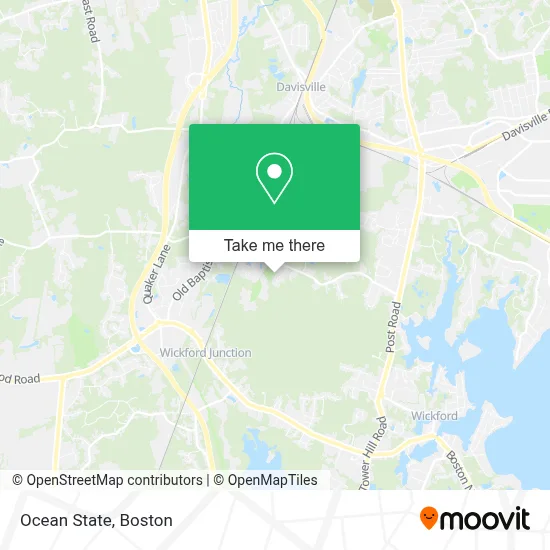
See Ocean State, Boston, on the map
Public Transit to Ocean State in Boston
Wondering how to get to Ocean State in Boston? Moovit helps you find the best way to get to Ocean State with step-by-step directions from the nearest public transit station.
Moovit provides free maps and live directions to help you navigate through your city. View schedules, routes, timetables, and find out how long does it take to get to Ocean State in real time.
Looking for the nearest stop or station to Ocean State? Check out this list of stops closest to your destination: Wickford Junction.
Bus: 14, 66.Train: PROVIDENCE/STOUGHTON.
Want to see if there’s another route that gets you there at an earlier time? Moovit helps you find alternative routes or times. Get directions from and directions to Ocean State easily from the Moovit App or Website.
We make riding to Ocean State easy, which is why over 1.7 million users, including users in Boston, trust Moovit as the best app for public transit. You don’t need to download an individual bus app or train app, Moovit is your all-in-one transit app that helps you find the best bus time or train time available.
For information on prices of bus and train, costs and ride fares to Ocean State, please check the Moovit app.
Use the app to navigate to popular places including to the airport, hospital, stadium, grocery store, mall, coffee shop, school, college, and university.
Ocean State Address: 650 Stony Ln street in Boston
- Stony Lane Church,
- Minute Key,
- Ifixandrepair - North Kingstown,
- ChargePoint,
- Amazon Counter Staples,
- ANYTIME FITNESS,
- N Kingstown Classic,
- Wickford Junction,
- 981 ten Rod Rd Garage,
- McKay's Front Porch,
- Sullivan & Sullivan,
- Chapel View Private Wealth Group - Ameriprise Financial Services,
- Brain & Spine Neurosurgical Institute,
- Community Provider Network of Rhode Island,
- Dr Maria Eguia-Brusco, PHD,
- Greater Rhode Island,
- C. Duarte &. Associates,
- Debbie Squizzero - Psychic Medium,
- Ananda Rhode Island Meditation and Yoga Center,
- Prep smart Professional Painting
Places Near Ocean State (Boston)
- Boston Convention & Exhibition Center, Boston,
- Castle Island, Boston,
- Museum Of Science, Boston,
- Wilbur Theatre, Boston,
- Seaport District, Boston,
- Quincy Market, Boston,
- House Of Blues, Boston,
- Cheers, Boston,
- Prudential Center, Boston,
- Massachusetts General Hospital, Boston,
- Isabella Stewart Gardner Museum, Boston,
- Boston Common, Boston,
- Boston Children's Hospital, Boston,
- North End, Boston,
- Td Garden, Boston,
- Wang Theater, Boston,
- Faneuil Hall, Boston,
- Mgm Music Hall, Boston,
- Boston Medical Center, Boston,
- Leader Bank Pavilion (Leader Bank Pavillion), Boston
How to get to popular places in Boston with public transit
Get around Boston by public transit!
Traveling around Boston has never been so easy. See step by step directions as you travel to any attraction, street or major public transit station. View bus and train schedules, arrival times, service alerts and detailed routes on a map, so you know exactly how to get to anywhere in Boston.
When traveling to any destination around Boston use Moovit's Live Directions with Get Off Notifications to know exactly where and how far to walk, how long to wait for your line, and how many stops are left. Moovit will alert you when it's time to get off — no need to constantly re-check whether yours is the next stop.
Wondering how to use public transit in Boston or how to pay for public transit in Boston? Moovit public transit app can help you navigate your way with public transit easily, and at minimum cost. It includes public transit fees, ticket prices, and costs. Looking for a map of Boston public transit lines? Moovit public transit app shows all public transit maps in Boston with all Bus, Train, Subway and Ferry routes and stops on an interactive map.
Boston has 4 transit type(s), including: Bus, Train, Subway and Ferry, operated by several transit agencies, including MBTA, Southeastern Regional Transit Authority, MetroWest Regional Transit Authority, Rhode Island Public Transit Authority, WRTA, Lowell Regional Transit Authority, Merrimack Valley Transit, Montachusett Regional Transit Authority, Cape Cod Regional Transit Authority, Brockton Area Transit Authority, Martha's Vineyard Transit Authority, the WAVE - Nantucket Regional Transit Authority, GATRA, Cape Ann Transportation Authority and Massport