Atlantic Ocean/Pavese stop - Sunday schedule
| Line | Direction | Time |
|---|---|---|
| 706 | Eur Fermi (Metro B) | 5:47 AM |
| COTRAL | Rome | Laurentina (Metro B) | 6:33 AM |
| 706 | Eur Fermi (Metro B) | 6:43 AM |
| 772 | Eur Fermi (Metro B) | 6:45 AM |
| 772 | Eur Fermi (Metro B) | 7:13 AM |
| 700 | Eur Fermi (Metro B) | 7:31 AM |
| COTRAL | Rome | Laurentina (Metro B) | 7:33 AM |
| 706 | Eur Fermi (Metro B) | 7:35 AM |
| 772 | Eur Fermi (Metro B) | 7:42 AM |
| 700 | Eur Fermi (Metro B) | 8:11 AM |
| 772 | Eur Fermi (Metro B) | 8:16 AM |
| 706 | Eur Fermi (Metro B) | 8:20 AM |
| COTRAL | Rome | Laurentina (Metro B) | 8:33 AM |
| 772 | Eur Fermi (Metro B) | 8:46 AM |
| 706 | Eur Fermi (Metro B) | 8:49 AM |
| 700 | Eur Fermi (Metro B) | 8:51 AM |
| COTRAL | Rome | Laurentina (Metro B) | 9:03 AM |
| 772 | Eur Fermi (Metro B) | 9:17 AM |
| 706 | Eur Fermi (Metro B) | 9:19 AM |
| 700 | Eur Fermi (Metro B) | 9:31 AM |
| COTRAL | Rome | Laurentina (Metro B) | 9:33 AM |
| 772 | Eur Fermi (Metro B) | 9:47 AM |
| 706 | Eur Fermi (Metro B) | 9:49 AM |
| 700 | Eur Fermi (Metro B) | 9:51 AM |
| 700 | Eur Fermi (Metro B) | 10:11 AM |
Directions to Atlantic Ocean/Pavese stop (Roma) with public transit
The following transit lines have routes that pass near Atlantic Ocean/Pavese
 Bus: 30, 700, 705, 706, 772.
- Train: FC2.
- Metro: B.
How to get to Atlantic Ocean/Pavese stop by bus?
Click on the bus route to see step by step directions with maps, line arrival times and updated time schedules.
How to get to Atlantic Ocean/Pavese stop by train?
Click on the train route to see step by step directions with maps, line arrival times and updated time schedules.
How to get to Atlantic Ocean/Pavese stop by metro?
Click on the metro route to see step by step directions with maps, line arrival times and updated time schedules.
Bus stops near Atlantic Ocean/Pavese stop in Roma
- Pavese/Atlantic Ocean, 2 min walk,
- Atlantic Ocean/Pavese, 2 min walk,
- Roma | Sant'Eugenio Hospital, 2 min walk,
- Colombo/Atlantico, 7 min walk,
- Colombo/Sports Palace, 12 min walk,
Metro stations near Atlantic Ocean/Pavese station in Roma
- Laurentina, 23 min walk,
Train stations near Atlantic Ocean/Pavese station in Roma
- Eur Magliana, 52 min walk,
Bus lines to Atlantic Ocean/Pavese stop in Roma
- 724, Agriculture,
- 772, Eur Fermi (Metro B),
- 700, EUR Fermi (MB) - Mostacciano,
- 706, Eur Fermi (MB) - Spinaceto - Tor De Cenci,
- COTRAL, Civitavecchia Depot,
- COTRAL, Torvaianica via Viale Danimarca,
- COTRAL, San Felice via Domenichelli,
- COTRAL, Tor San Lorenzo | Via Pinete Seafront,
- COTRAL, Nettuno | Bus Station,
- COTRAL, Ardea via Piazza Del Popolo,
- COTRAL, Latina Bus Terminal,
- COTRAL, Terracina Railway Station,
- COTRAL, Pomezia | Viale Po Via Arno,
- 070, EUR Fermi (MB) - Infernetto - Cristoforo Colombo (RL),
- N070, Agriculture Square - AXA - Casal Palocco - Infernetto - Lido Centro (RL),
- 705, Eur Fermi (MB) - Spinaceto - Tor De Cenci,
- 709, EUR Fermi (MB) - Casal Palocco,
- COTRAL, Latina - Roma Laurentina,
- COTRAL, Nettuno - Roma Laurentina,
- COTRAL, Tor San Lorenzo - Roma Laurentina,
What are the closest stations to Atlantic Ocean/Pavese?
The closest stations to Atlantic Ocean/Pavese are:
- Pavese/Atlantic Ocean stop is 89 meters away, 2 min walk.
- Atlantic Ocean/Pavese stop is 143 meters away, 2 min walk.
- Roma | Sant'Eugenio Hospital stop is 151 meters away, 2 min walk.
- Colombo/Atlantico stop is 520 meters away, 7 min walk.
- Colombo/Sports Palace stop is 921 meters away, 12 min walk.
- Laurentina station is 1778 meters away, 23 min walk.
- Eur Magliana station is 4126 meters away, 52 min walk.
Which bus lines stop near Atlantic Ocean/Pavese?
These bus lines stop near Atlantic Ocean/Pavese: 30, 700, 705, 706, 772.
Which train line stops near Atlantic Ocean/Pavese?
FC2 (Cristoforo Colombo)
Which metro line stops near Atlantic Ocean/Pavese?
B (Laurentina)
What’s the nearest metro station to Atlantic Ocean/Pavese in Roma?
The nearest metro station to Atlantic Ocean/Pavese in Roma is Laurentina. It’s a 23 min walk away.
What’s the nearest bus station to Atlantic Ocean/Pavese in Roma?
The nearest bus stations to Atlantic Ocean/Pavese in Roma are Pavese/Atlantic Ocean, Atlantic Ocean/Pavese and Roma | Sant'Eugenio Hospital. The closest one is a 2 min walk away.
What time is the first metro to Atlantic Ocean/Pavese in Roma?
The B is the first metro that goes to Atlantic Ocean/Pavese in Roma. It stops nearby at 5:30 AM.
What time is the last metro to Atlantic Ocean/Pavese in Roma?
The B is the last metro that goes to Atlantic Ocean/Pavese in Roma. It stops nearby at 12:09 AM.
What time is the first train to Atlantic Ocean/Pavese in Roma?
The FC2 is the first train that goes to Atlantic Ocean/Pavese in Roma. It stops nearby at 5:21 AM.
What time is the last train to Atlantic Ocean/Pavese in Roma?
The FC2 is the last train that goes to Atlantic Ocean/Pavese in Roma. It stops nearby at 12:01 AM.
What time is the first bus to Atlantic Ocean/Pavese in Roma?
The N070 is the first bus that goes to Atlantic Ocean/Pavese in Roma. It stops nearby at 3:11 AM.
What time is the last bus to Atlantic Ocean/Pavese in Roma?
The N070 is the last bus that goes to Atlantic Ocean/Pavese in Roma. It stops nearby at 3:34 AM.
Atlantic Ocean/Pavese station
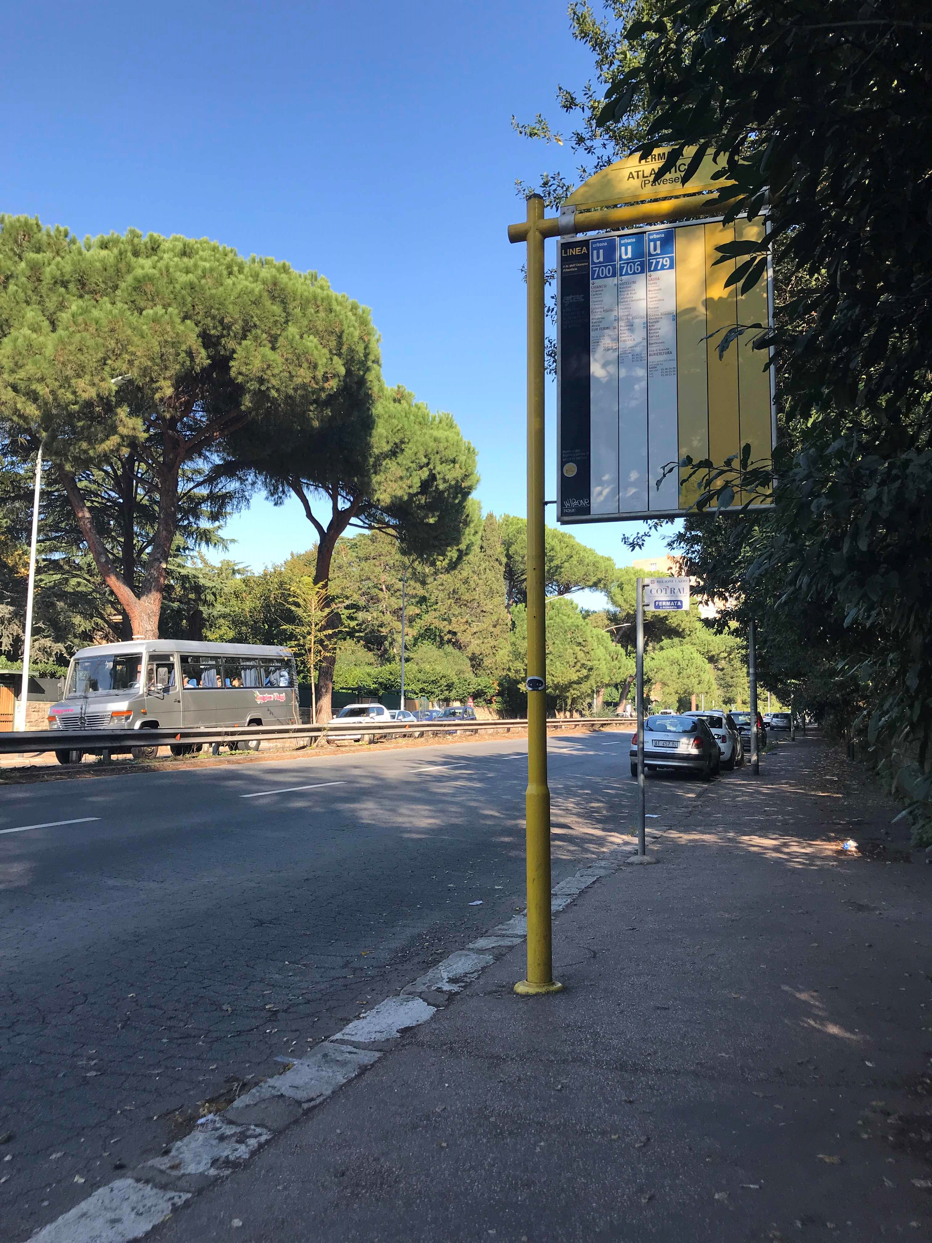 Taken by Yi C.
See Atlantic Ocean/Pavese stop, Roma, on the map
Public transit to Atlantic Ocean/Pavese stop (ID: 74368) in Roma
Looking for directions to Atlantic Ocean/Pavese in Roma, Italy?
Download the Moovit App to find the current schedule and step-by-step directions for Bus, Metro or Train routes that pass through Atlantic Ocean/Pavese.
Looking for the nearest stops closest to Atlantic Ocean/Pavese ? Check out this list of closest stops to your destination: Pavese/Atlantic Ocean; Atlantic Ocean/Pavese; Roma | Sant'Eugenio Hospital; Colombo/Atlantico; Colombo/Sports Palace; Laurentina; Eur Magliana.
Bus: 30, 700, 705, 706, 772, 724, COTRAL, COTRAL, COTRAL, COTRAL, COTRAL, 070, N070, 709, COTRAL.Train: FC2.Metro: B.
We make riding on public transit to Atlantic Ocean/Pavese easy, which is why over 1.7 billion users, including users in Roma trust Moovit as the best app for public transit.
Use the app to navigate to popular places including to the airport, hospital, stadium, grocery store, mall, coffee shop, school, college, and university.
Atlantic Ocean/Pavese stop’s code is 74368
The first line to this stop is 706, at 5:47 AM, and the last line is 706 at 12:26 AM.
This stop serves Cotral and ATAC’s lines
Popular routes from Atlantic Ocean/Pavese stop, Roma
- Pavese/Atlantic Ocean,
- Atlantic Ocean/Pavese,
- Roma | Sant'Eugenio Hospital,
- Colombo/Atlantico,
- Colombo/Sports Palace
Bus stops near Atlantic Ocean/Pavese stop
- Laurentina
Metro station near Atlantic Ocean/Pavese station
- Eur Magliana
Train station near Atlantic Ocean/Pavese station
- Paliano | Via Fratelli Beguinot (Parking),
- Bolognetta,
- Tiburtina/Crociate,
- Ceccano,
- Trieste/Trento,
- Montalto di Castro,
- Carsoli | Tufo Alto,
- Marino | Appia Street Lago Albano Street,
- Marino | San Giuseppe Hospital,
- Sperlonga | Lepanto Street,
- Balsamo Crivelli,
- Prati Fiscali/Villa Spada,
- Viterbo Porta Fiorentina,
- Veneto/Sardegna,
- Castel Fusano,
- S. Maria Maggiore,
- Fucini/Bufalotta,
- Trieste/Gorizia,
- Portuense/Casetta Mattei,
- Subiaco | Sublacense Road (Km 12)
Popular public transit stations in Roma
Get around Roma by public transit!
Traveling around Roma has never been so easy. See step by step directions as you travel to any attraction, street or major public transit station. View bus and train schedules, arrival times, service alerts and detailed routes on a map, so you know exactly how to get to anywhere in Roma.
When traveling to any destination around Roma use Moovit's Live Directions with Get Off Notifications to know exactly where and how far to walk, how long to wait for your line, and how many stops are left. Moovit will alert you when it's time to get off — no need to constantly re-check whether yours is the next stop.
Wondering how to use public transit in Roma or how to pay for public transit in Roma? Moovit public transit app can help you navigate your way with public transit easily, and at minimum cost. It includes public transit fees, ticket prices, and costs. Looking for a map of Roma public transit lines? Moovit public transit app shows all public transit maps in Roma with all Bus, Train, Metro, Light Rail, Ferry, Funicular and Gondola routes and stops on an interactive map.
Rome and Lazio has 7 transit type(s), including: Bus, Train, Metro, Light Rail, Ferry, Funicular and Gondola, operated by several transit agencies, including ATAC, Cotral, Trenitalia, Troiani Transportation Services, BIS, ATR Mobility, Tuscia, Shuttle, Seatour, Troiani Bus Lines, CSC Mobility, Terravision, ATRAL, Tambus and Sitbus