How to get to Office Of Residential Life by bus?
Click on the bus route to see step by step directions with maps, line arrival times and updated time schedules.
From Registry Of Motor Vehicles (Rmv) Branch Office, Worcester
144 minFrom Palladium, Worcester
145 minFrom South High Community School, Worcester
237 minFrom Polar Park, Worcester
142 minFrom Gardner, MA, Gardner
207 minFrom Worcester, MA, Worcester
140 minFrom Foxwoods, Worcester
169 minFrom Dcu Center, Worcester
142 min
Bus stops near Office Of Residential Life in Boston
Bus lines to Office Of Residential Life in Boston
What are the closest stations to Office Of Residential Life?
The closest stations to Office Of Residential Life are:
- Village Commons South Hadley is 338 yards away, 5 min walk.
- Stone Shelter is 343 yards away, 5 min walk.
Which bus lines stop near Office Of Residential Life?
These bus lines stop near Office Of Residential Life: 38NS, PETER PAN, R29.
What’s the nearest bus station to Office Of Residential Life in Boston?
The nearest bus stations to Office Of Residential Life in Boston are Village Commons South Hadley and Stone Shelter. The closest one is a 5 min walk away.
What time is the first bus to Office Of Residential Life in Boston?
The PETER PAN is the first bus that goes to Office Of Residential Life in Boston. It stops nearby at 6:30 AM.
What time is the last bus to Office Of Residential Life in Boston?
The 38NS is the last bus that goes to Office Of Residential Life in Boston. It stops nearby at 7:16 PM.
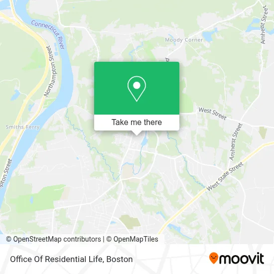
See Office Of Residential Life, Boston, on the map
Public Transit to Office Of Residential Life in Boston
Wondering how to get to Office Of Residential Life in Boston? Moovit helps you find the best way to get to Office Of Residential Life with step-by-step directions from the nearest public transit station.
Moovit provides free maps and live directions to help you navigate through your city. View schedules, routes, timetables, and find out how long does it take to get to Office Of Residential Life in real time.
Looking for the nearest stop or station to Office Of Residential Life? Check out this list of stops closest to your destination: Village Commons South Hadley; Stone Shelter.
Bus: 38NS, PETER PAN, R29.
Want to see if there’s another route that gets you there at an earlier time? Moovit helps you find alternative routes or times. Get directions from and directions to Office Of Residential Life easily from the Moovit App or Website.
We make riding to Office Of Residential Life easy, which is why over 1.7 million users, including users in Boston, trust Moovit as the best app for public transit. You don’t need to download an individual bus app or train app, Moovit is your all-in-one transit app that helps you find the best bus time or train time available.
For information on prices of bus, costs and ride fares to Office Of Residential Life, please check the Moovit app.
Use the app to navigate to popular places including to the airport, hospital, stadium, grocery store, mall, coffee shop, school, college, and university.
Office Of Residential Life Address: 1 Safford Hall street in Boston
- Bank of America,
- Mount Holyoke College,
- Blanchard Campus Center,
- Abbey Sanctuary,
- Mary Lyon Hall,
- Skinner Green,
- Abbey Chapel,
- Wmhc-Fm (South Hadley),
- Skinner Hall,
- Mount Holyoke Gate,
- Gettell Amphitheater,
- Community Center,
- Eliot House,
- Clapp Labs,
- Ciruti Center For Foreign Languages,
- Pagent Green,
- Williston Memorial Library,
- Art Building And Museum,
- Gamble Auditorium,
- Kendade Hall
Places Near Office Of Residential Life (Boston)
- North End, Boston,
- Quincy Market, Boston,
- Castle Island, Boston,
- Wang Theater, Boston,
- Boston Convention & Exhibition Center, Boston,
- Faneuil Hall, Boston,
- Museum Of Science, Boston,
- Prudential Center, Boston,
- Leader Bank Pavilion (Leader Bank Pavillion), Boston,
- Boston Common, Boston,
- Mgm Music Hall, Boston,
- Wilbur Theatre, Boston,
- House Of Blues, Boston,
- Td Garden, Boston,
- Massachusetts General Hospital, Boston,
- Boston Children's Hospital, Boston,
- Isabella Stewart Gardner Museum, Boston,
- Cheers, Boston,
- Boston Medical Center, Boston,
- Seaport District, Boston
How to get to popular places in Boston with public transit
Get around Boston by public transit!
Traveling around Boston has never been so easy. See step by step directions as you travel to any attraction, street or major public transit station. View bus and train schedules, arrival times, service alerts and detailed routes on a map, so you know exactly how to get to anywhere in Boston.
When traveling to any destination around Boston use Moovit's Live Directions with Get Off Notifications to know exactly where and how far to walk, how long to wait for your line, and how many stops are left. Moovit will alert you when it's time to get off — no need to constantly re-check whether yours is the next stop.
Wondering how to use public transit in Boston or how to pay for public transit in Boston? Moovit public transit app can help you navigate your way with public transit easily, and at minimum cost. It includes public transit fees, ticket prices, and costs. Looking for a map of Boston public transit lines? Moovit public transit app shows all public transit maps in Boston with all Bus, Train, Subway and Ferry routes and stops on an interactive map.
Boston has 4 transit type(s), including: Bus, Train, Subway and Ferry, operated by several transit agencies, including MBTA, Southeastern Regional Transit Authority, MetroWest Regional Transit Authority, Rhode Island Public Transit Authority, WRTA, Lowell Regional Transit Authority, Merrimack Valley Transit, Montachusett Regional Transit Authority, Cape Cod Regional Transit Authority, Brockton Area Transit Authority, Martha's Vineyard Transit Authority, the WAVE - Nantucket Regional Transit Authority, GATRA, Cape Ann Transportation Authority and Massport