How to get to Officer Training Command Newport by bus?
Click on the bus route to see step by step directions with maps, line arrival times and updated time schedules.
From Amazon Fulfillment Bos7, Fall River
123 minFrom Bristol Community College, Fall River
94 minFrom Walmart Fall River Supercenter, Fall River
107 minFrom Charlton Memorial Hospital, Fall River
112 minFrom Barahona Express, Providence
125 minFrom B.M.C. Durfee High School, Fall River
93 minFrom Lizzy Borden House, Fall River
74 min
Bus stops near Officer Training Command Newport in Boston
Bus lines to Officer Training Command Newport in Boston
What are the closest stations to Officer Training Command Newport?
The closest stations to Officer Training Command Newport are:
- Met School (Newport Campus) is 621 yards away, 8 min walk.
- John Chaffee Before Maple is 634 yards away, 8 min walk.
Which bus lines stop near Officer Training Command Newport?
These bus lines stop near Officer Training Command Newport: 24L, 63, 64.
What’s the nearest bus station to Officer Training Command Newport in Boston?
The nearest bus stations to Officer Training Command Newport in Boston are Met School (Newport Campus) and John Chaffee Before Maple. The closest one is a 8 min walk away.
What time is the first bus to Officer Training Command Newport in Boston?
The 64 is the first bus that goes to Officer Training Command Newport in Boston. It stops nearby at 6:52 AM.
What time is the last bus to Officer Training Command Newport in Boston?
The 63 is the last bus that goes to Officer Training Command Newport in Boston. It stops nearby at 8:54 PM.
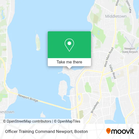
See Officer Training Command Newport, Boston, on the map
Public Transit to Officer Training Command Newport in Boston
Wondering how to get to Officer Training Command Newport in Boston? Moovit helps you find the best way to get to Officer Training Command Newport with step-by-step directions from the nearest public transit station.
Moovit provides free maps and live directions to help you navigate through your city. View schedules, routes, timetables, and find out how long does it take to get to Officer Training Command Newport in real time.
Looking for the nearest stop or station to Officer Training Command Newport? Check out this list of stops closest to your destination: Met School (Newport Campus); John Chaffee Before Maple.
Bus: 24L, 63, 64, 68.
Want to see if there’s another route that gets you there at an earlier time? Moovit helps you find alternative routes or times. Get directions from and directions to Officer Training Command Newport easily from the Moovit App or Website.
We make riding to Officer Training Command Newport easy, which is why over 1.7 million users, including users in Boston, trust Moovit as the best app for public transit. You don’t need to download an individual bus app or train app, Moovit is your all-in-one transit app that helps you find the best bus time or train time available.
For information on prices of bus and train, costs and ride fares to Officer Training Command Newport, please check the Moovit app.
Use the app to navigate to popular places including to the airport, hospital, stadium, grocery store, mall, coffee shop, school, college, and university.
Officer Training Command Newport Address: 1356 Meyerkord Ave street in Boston
- Fleet and Family Support Center NS Newport,
- Nex Fuel,
- NOSC Navy Operational Support Center,
- Wonderfully Made,
- CCRI - Newport County Campus,
- Ccri Library,
- Satelite Office of Ccri,
- Rhode Island Brewers Guild,
- Interstate Batteries,
- Building. 442,
- 209 JT Connell Hwy Parking,
- Newport Housing Authority Administration, Offices,
- Coddington Opp Ripta Garage,
- USPS Collection Box - Blue Box,
- Navy Gateway Inns & Suites - Ngis,
- Naval Station Newport,
- Connell Hwy,
- Cutting Edge Professional Painting,
- Alberto Painting & Powerwashing,
- 13 Chandler Street
Places Near Officer Training Command Newport (Boston)
- Seaport District, Boston,
- Quincy Market, Boston,
- Isabella Stewart Gardner Museum, Boston,
- Cheers, Boston,
- Boston Medical Center, Boston,
- Castle Island, Boston,
- Wilbur Theatre, Boston,
- Faneuil Hall, Boston,
- Boston Children's Hospital, Boston,
- Mgm Music Hall, Boston,
- Museum Of Science, Boston,
- Leader Bank Pavilion (Leader Bank Pavillion), Boston,
- Prudential Center, Boston,
- Massachusetts General Hospital, Boston,
- Boston Convention & Exhibition Center, Boston,
- Wang Theater, Boston,
- North End, Boston,
- House Of Blues, Boston,
- Td Garden, Boston,
- Boston Common, Boston
How to get to popular places in Boston with public transit
Get around Boston by public transit!
Traveling around Boston has never been so easy. See step by step directions as you travel to any attraction, street or major public transit station. View bus and train schedules, arrival times, service alerts and detailed routes on a map, so you know exactly how to get to anywhere in Boston.
When traveling to any destination around Boston use Moovit's Live Directions with Get Off Notifications to know exactly where and how far to walk, how long to wait for your line, and how many stops are left. Moovit will alert you when it's time to get off — no need to constantly re-check whether yours is the next stop.
Wondering how to use public transit in Boston or how to pay for public transit in Boston? Moovit public transit app can help you navigate your way with public transit easily, and at minimum cost. It includes public transit fees, ticket prices, and costs. Looking for a map of Boston public transit lines? Moovit public transit app shows all public transit maps in Boston with all Bus, Train, Subway and Ferry routes and stops on an interactive map.
Boston has 4 transit type(s), including: Bus, Train, Subway and Ferry, operated by several transit agencies, including MBTA, Southeastern Regional Transit Authority, MetroWest Regional Transit Authority, Rhode Island Public Transit Authority, WRTA, Lowell Regional Transit Authority, Merrimack Valley Transit, Montachusett Regional Transit Authority, Cape Cod Regional Transit Authority, Brockton Area Transit Authority, Martha's Vineyard Transit Authority, the WAVE - Nantucket Regional Transit Authority, GATRA, Cape Ann Transportation Authority and Massport