Oi stop - Monday schedule
| Line | Direction | Time |
|---|---|---|
| 430P | Chaperó | 5:32 AM |
| 430P | Chaperó | 6:12 AM |
| 430P | Chaperó | 7:02 AM |
| 590I | Nonô | 7:03 AM |
| 430P | Chaperó | 8:11 AM |
| 430P | Chaperó | 9:06 AM |
| 430P | Chaperó | 10:01 AM |
| 430P | Chaperó | 10:49 AM |
| 430P | Chaperó | 11:44 AM |
| 430P | Chaperó | 12:49 PM |
| 430P | Chaperó | 1:54 PM |
| 430P | Chaperó | 2:54 PM |
| 590I | Nonô | 3:03 PM |
| 430P | Chaperó | 4:01 PM |
| 430P | Chaperó | 4:41 PM |
| 430P | Chaperó | 5:41 PM |
| 430P | Chaperó | 6:41 PM |
| 430P | Chaperó | 7:41 PM |
| 430P | Chaperó | 8:31 PM |
| 430P | Chaperó | 9:31 PM |
Directions to Oi stop (Itaguaí) with public transit
The following transit lines have routes that pass near Oi
 Bus: 426P, 430P, 436S, V121, 450T.
How to get to Oi stop by bus?
Click on the bus route to see step by step directions with maps, line arrival times and updated time schedules.
Bus stops near Oi stop in Itaguaí
- Rua Doutor Curvelo Cavalcante 475 Itaguaí - Rio De Janeiro 23815 Brasil, 5 min walk,
- Praça Vicente Cicarino - Supermercado Berg's, 5 min walk,
- Supermercados Guanabara, 8 min walk,
Bus lines to Oi stop in Itaguaí
- 450T, Nova Iguaçu,
- SC460S, Itaguaí,
- 1900T (EXECUTIVO), Jacareí,
- 112B, Itaguaí - Central (Brs I),
- 117T, Itaguaí - Mangaratiba (via Praia do Saco),
- 119T, Caxias - Itaguaí (via Vila Militar/Campo Grande/Palmares),
- 121T, Caxias - Itaguaí (Via Estrada do Campinho / Santa Cruz),
- V121, Itaguaí - Jacareí (Direto),
- V122, Itacuruçá - Itaguaí,
- V123, Itaguaí - Mangaratiba (via Sahy / Ibicuí),
- V124, Itaguaí - Muriqui,
- 426P, Itaguaí - Cesarão / 7 de Abril,
- 430P, Chaperó - Santa Cruz (Via Itaguaí),
- 436S, Itaguaí - Seropédica (Via Piranema),
- 442L, Itaguaí - Coelho Neto,
- 455U, Itaguaí - Muriqui,
- 457U, Itaguaí - Jacareí (via Mangaratiba/Sahy-Ibicuí),
- 458S, Campo Grande - Itaguaí (Via Palmares),
- 460S (EXECUTIVO), Itaguaí - Barra da Tijuca,
- VAN M521, Itaguaí - Rio de Janeiro (Central),
What are the closest stations to Oi?
The closest stations to Oi are:
- Rua Doutor Curvelo Cavalcante 475 Itaguaí - Rio De Janeiro 23815 Brasil stop is 326 meters away, 5 min walk.
- Praça Vicente Cicarino - Supermercado Berg's stop is 326 meters away, 5 min walk.
- Supermercados Guanabara stop is 597 meters away, 8 min walk.
Which bus lines stop near Oi?
These bus lines stop near Oi: 426P, 430P, 436S, V121.
What’s the nearest bus station to Oi in Itaguaí?
The nearest bus stations to Oi in Itaguaí are Rua Doutor Curvelo Cavalcante 475 Itaguaí - Rio De Janeiro 23815 Brasil and Praça Vicente Cicarino - Supermercado Berg's. The closest one is a 5 min walk away.
What time is the first bus to Oi in Itaguaí?
The 436S is the first bus that goes to Oi in Itaguaí. It stops nearby at 3:14 AM.
What time is the last bus to Oi in Itaguaí?
The 436S is the last bus that goes to Oi in Itaguaí. It stops nearby at 3:15 AM.
Oi station
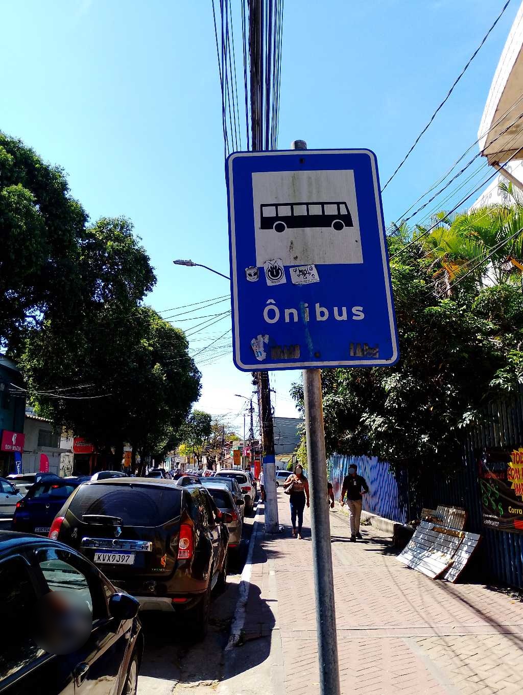 Taken by Anonymous
See Oi stop, Itaguaí, on the map
Public transit to Oi stop in Itaguaí
Looking for directions to Oi in Itaguaí, Brazil?
Download the Moovit App to find the current schedule and step-by-step directions for Bus routes that pass through Oi.
Looking for the nearest stops closest to Oi ? Check out this list of closest stops to your destination: Rua Doutor Curvelo Cavalcante 475 Itaguaí - Rio De Janeiro 23815 Brasil; Praça Vicente Cicarino - Supermercado Berg's; Supermercados Guanabara.
Bus: 426P, 430P, 436S, V121, 450T, SC460S, 1900T (EXECUTIVO), 112B, 117T, 119T, 121T, 113D, 120T, 122T, 738P.
We make riding on public transit to Oi easy, which is why over 1.7 billion users, including users in Itaguaí trust Moovit as the best app for public transit.
Use the app to navigate to popular places including to the airport, hospital, stadium, grocery store, mall, coffee shop, school, college, and university.
The first line to this stop is 430P, at 5:32 AM, and the last line is 430P at 9:31 PM.
162 Rua General Bocaiuva, Itaguaí, Brazil
This stop serves Auto Viação Reginas and Expresso Real Rio’s lines
- Rua Doutor Curvelo Cavalcante 475 Itaguaí - Rio De Janeiro 23815 Brasil,
- Praça Vicente Cicarino - Supermercado Berg's,
- Supermercados Guanabara
Bus stops near Oi stop
- Ponto Final - São Bento,
- Rua Saldanha Marinho, 426,
- Estação De Trem Oswaldo Cruz,
- BRS 1 2 3 - Cidade Nova,
- Quintino,
- Terminal Rodoviário Fernando Barros Pessoa (Arraial Do Cabo),
- Ponto Final - Nova Iguaçu (Linave),
- Estrada Aníbal Da Mota, 13,
- Ponto Final - Jaconé / Rua 96 (Escola Ismênia De Barros Barroso),
- Acari / Fazenda Botafogo,
- Metrô São Conrado | Rocinha,
- Avenida Brasil | Batan,
- Avenida Duque De Caxias, 207 (Desativado Aos Domingos),
- Uruguai,
- Rua Santo Afonso, 44,
- Rua Presidente Backer,
- Parada De Lucas,
- Ponto Final - Caxias (Flores | Linhas 108i, 110i E 438i),
- Rua Gregorio Santana, 51,
- Rua Conde De Bonfim | Casa De Saúde Santa Therezinha (Tijucor) / Hosp. Pan Americano
Popular public transit stations in Itaguaí
Get around Itaguaí by public transit!
Traveling around Itaguaí has never been so easy. See step by step directions as you travel to any attraction, street or major public transit station. View bus and train schedules, arrival times, service alerts and detailed routes on a map, so you know exactly how to get to anywhere in Itaguaí.
When traveling to any destination around Itaguaí use Moovit's Live Directions with Get Off Notifications to know exactly where and how far to walk, how long to wait for your line, and how many stops are left. Moovit will alert you when it's time to get off — no need to constantly re-check whether yours is the next stop.
Wondering how to use public transit in Itaguaí or how to pay for public transit in Itaguaí? Moovit public transit app can help you navigate your way with public transit easily, and at minimum cost. It includes public transit fees, ticket prices, and costs. Looking for a map of Itaguaí public transit lines? Moovit public transit app shows all public transit maps in Itaguaí with all Bus, Train, Metro, Light Rail, Ferry, Cable Car, Gondola and Funicular routes and stops on an interactive map.
Rio de Janeiro Region has 8 transit type(s), including: Bus, Train, Metro, Light Rail, Ferry, Cable Car, Gondola and Funicular, operated by several transit agencies, including TrensRJ, Metrô Rio, VLT Carioca, Barcas Rio, BRT MOBI-Rio, Auto Viação Alpha, Auto Viação Tijuca, Gire Transportes, Transurb, Viação Nossa Senhora das Graças, Consórcio INTERSUL, Braso Lisboa, Caprichosa Auto Ônibus, Auto Viação Três Amigos and Rodoviária Âncora Matias