How to get to Oliver Hazard Perry Statue by bus?
Click on the bus route to see step by step directions with maps, line arrival times and updated time schedules.
From Amazon Fulfillment Bos7, Fall River
103 minFrom Bristol Community College, Fall River
74 minFrom Barahona Express, Providence
99 minFrom B.M.C. Durfee High School, Fall River
72 minFrom Walmart Fall River Supercenter, Fall River
87 minFrom Lizzy Borden House, Fall River
53 minFrom Charlton Memorial Hospital, Fall River
92 min
Bus stops near Oliver Hazard Perry Statue in Boston
Bus lines to Oliver Hazard Perry Statue in Boston
What are the closest stations to Oliver Hazard Perry Statue?
The closest stations to Oliver Hazard Perry Statue are:
- Third After Bridge is 478 yards away, 6 min walk.
- Bellevue Before Church is 523 yards away, 7 min walk.
- Marlborough Opposite Duke is 541 yards away, 7 min walk.
- Newport Transit Center (Stop D) is 691 yards away, 9 min walk.
Which bus lines stop near Oliver Hazard Perry Statue?
These bus lines stop near Oliver Hazard Perry Statue: 24L, 60.
What’s the nearest bus station to Oliver Hazard Perry Statue in Boston?
The nearest bus station to Oliver Hazard Perry Statue in Boston is Third After Bridge. It’s a 6 min walk away.
What time is the first bus to Oliver Hazard Perry Statue in Boston?
The 14 is the first bus that goes to Oliver Hazard Perry Statue in Boston. It stops nearby at 4:26 AM.
What time is the last bus to Oliver Hazard Perry Statue in Boston?
The 60 is the last bus that goes to Oliver Hazard Perry Statue in Boston. It stops nearby at 1:24 AM.
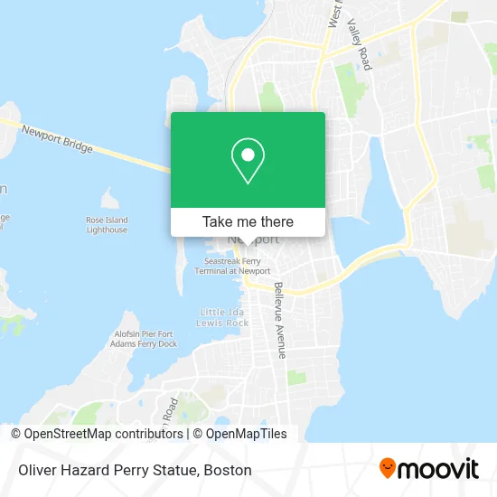
See Oliver Hazard Perry Statue, Boston, on the map
Public Transit to Oliver Hazard Perry Statue in Boston
Wondering how to get to Oliver Hazard Perry Statue in Boston? Moovit helps you find the best way to get to Oliver Hazard Perry Statue with step-by-step directions from the nearest public transit station.
Moovit provides free maps and live directions to help you navigate through your city. View schedules, routes, timetables, and find out how long does it take to get to Oliver Hazard Perry Statue in real time.
Looking for the nearest stop or station to Oliver Hazard Perry Statue? Check out this list of stops closest to your destination: Third After Bridge; Bellevue Before Church; Marlborough Opposite Duke; Newport Transit Center (Stop D).
Bus: 24L, 60, 64, 68, 63, 67, 14.
Want to see if there’s another route that gets you there at an earlier time? Moovit helps you find alternative routes or times. Get directions from and directions to Oliver Hazard Perry Statue easily from the Moovit App or Website.
We make riding to Oliver Hazard Perry Statue easy, which is why over 1.7 million users, including users in Boston, trust Moovit as the best app for public transit. You don’t need to download an individual bus app or train app, Moovit is your all-in-one transit app that helps you find the best bus time or train time available.
For information on prices of bus, costs and ride fares to Oliver Hazard Perry Statue, please check the Moovit app.
Use the app to navigate to popular places including to the airport, hospital, stadium, grocery store, mall, coffee shop, school, college, and university.
Oliver Hazard Perry Statue Address: 29 Touro St street in Boston
- Epic Embroidery,
- The Mandala Way,
- Mechanic 7 Days,
- Little Chateau,
- Frankie's,
- L Plus A Landscape Ar,
- The House Of Kitty Dunbar,
- Faherty Newport Ri,
- Dr. Nicholas Tillinghast House,
- Susan T Perkins,
- Newport Ghosts,
- Rejoiner,
- Jane Pickens Film + Event Center,
- Citizens Bank & Trust,
- Good Stuff,
- Helly Hansen,
- The Place Wine Bar And Grille,
- Center for Arts Dance & Education Center for Arts, Dance & Education,
- Newport Contemporary Ballet,
- Spartina 449 - Newport
Places Near Oliver Hazard Perry Statue (Boston)
- Boston Common, Boston,
- Mgm Music Hall, Boston,
- Boston Convention & Exhibition Center, Boston,
- Wang Theater, Boston,
- Cheers, Boston,
- Massachusetts General Hospital, Boston,
- Castle Island, Boston,
- Td Garden, Boston,
- Prudential Center, Boston,
- Quincy Market, Boston,
- North End, Boston,
- Isabella Stewart Gardner Museum, Boston,
- Faneuil Hall, Boston,
- Boston Children's Hospital, Boston,
- Leader Bank Pavilion (Leader Bank Pavillion), Boston,
- Museum Of Science, Boston,
- Seaport District, Boston,
- House Of Blues, Boston,
- Boston Medical Center, Boston,
- Wilbur Theatre, Boston
How to get to popular places in Boston with public transit
Get around Boston by public transit!
Traveling around Boston has never been so easy. See step by step directions as you travel to any attraction, street or major public transit station. View bus and train schedules, arrival times, service alerts and detailed routes on a map, so you know exactly how to get to anywhere in Boston.
When traveling to any destination around Boston use Moovit's Live Directions with Get Off Notifications to know exactly where and how far to walk, how long to wait for your line, and how many stops are left. Moovit will alert you when it's time to get off — no need to constantly re-check whether yours is the next stop.
Wondering how to use public transit in Boston or how to pay for public transit in Boston? Moovit public transit app can help you navigate your way with public transit easily, and at minimum cost. It includes public transit fees, ticket prices, and costs. Looking for a map of Boston public transit lines? Moovit public transit app shows all public transit maps in Boston with all Bus, Train, Subway and Ferry routes and stops on an interactive map.
Boston has 4 transit type(s), including: Bus, Train, Subway and Ferry, operated by several transit agencies, including MBTA, Southeastern Regional Transit Authority, MetroWest Regional Transit Authority, Rhode Island Public Transit Authority, WRTA, Lowell Regional Transit Authority, Merrimack Valley Transit, Montachusett Regional Transit Authority, Cape Cod Regional Transit Authority, Brockton Area Transit Authority, Martha's Vineyard Transit Authority, the WAVE - Nantucket Regional Transit Authority, GATRA, Cape Ann Transportation Authority and Massport