How to get to On the Way Today by bus?
Click on the bus route to see step by step directions with maps, line arrival times and updated time schedules.
How to get to On the Way Today by train?
Click on the train route to see step by step directions with maps, line arrival times and updated time schedules.
Bus stops near On the Way Today in Lawrence
Train station near On the Way Today in Lawrence
- Lawrence, 16 min walk,VIEW
Bus lines to On the Way Today in Lawrence
What are the closest stations to On the Way Today?
The closest stations to On the Way Today are:
- S Broadway & Mt Vernon Street is 207 yards away, 3 min walk.
- Heritage Place is 352 yards away, 5 min walk.
- Lawrence is 1322 yards away, 16 min walk.
Which bus line stops near On the Way Today?
2 (Main And School)
Which train line stops near On the Way Today?
HAVERHILL (#232 | North Station)
What’s the nearest train station to On the Way Today in Lawrence?
The nearest train station to On the Way Today in Lawrence is Lawrence. It’s a 16 min walk away.
What’s the nearest bus station to On the Way Today in Lawrence?
The nearest bus station to On the Way Today in Lawrence is S Broadway & Mt Vernon Street. It’s a 3 min walk away.
What time is the first train to On the Way Today in Lawrence?
The HAVERHILL is the first train that goes to On the Way Today in Lawrence. It stops nearby at 4:51 AM.
What time is the last train to On the Way Today in Lawrence?
The HAVERHILL is the last train that goes to On the Way Today in Lawrence. It stops nearby at 12:38 AM.
What time is the first bus to On the Way Today in Lawrence?
The 2 is the first bus that goes to On the Way Today in Lawrence. It stops nearby at 5:06 AM.
What time is the last bus to On the Way Today in Lawrence?
The 2 is the last bus that goes to On the Way Today in Lawrence. It stops nearby at 9:38 PM.
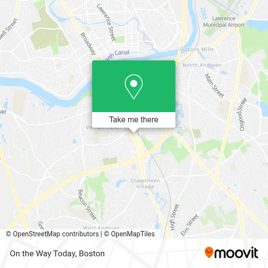
See On the Way Today, Lawrence, on the map
Public Transit to On the Way Today in Lawrence
Wondering how to get to On the Way Today in Lawrence? Moovit helps you find the best way to get to On the Way Today with step-by-step directions from the nearest public transit station.
Moovit provides free maps and live directions to help you navigate through your city. View schedules, routes, timetables, and find out how long does it take to get to On the Way Today in real time.
Looking for the nearest stop or station to On the Way Today? Check out this list of stops closest to your destination: S Broadway & Mt Vernon Street; Heritage Place; Lawrence.
Bus: 2, 26, 9.Train: HAVERHILL.
Want to see if there’s another route that gets you there at an earlier time? Moovit helps you find alternative routes or times. Get directions from and directions to On the Way Today easily from the Moovit App or Website.
We make riding to On the Way Today easy, which is why over 1.7 million users, including users in Lawrence, trust Moovit as the best app for public transit. You don’t need to download an individual bus app or train app, Moovit is your all-in-one transit app that helps you find the best bus time or train time available.
For information on prices of bus and train, costs and ride fares to On the Way Today, please check the Moovit app.
Use the app to navigate to popular places including to the airport, hospital, stadium, grocery store, mall, coffee shop, school, college, and university.
On the Way Today Address: 5 Wedgewood Dr street in Lawrence
- Kook Jim Kim PC Dr (Dong Kim DMD),
- My Dental Lawrence PLL,
- Federacion Hispana de Comerciantes,
- Carpet Cleaning Allergy Certified,
- Tacos Lupita,
- Locked-in Foundations,
- Broadway Corner Mart,
- Irvins Convenience Store,
- Ico Beauty Supply,
- Kate' S Essent,
- Penske Auto Center,
- Santana Auto Repair,
- Lawrence Youth Sports,
- Lawrence My Locksmith Locksmith,
- Chem-Dry,
- Thrifty,
- Silva Screen,
- Morenito Mambo Lo Maxi,
- MV Business Consulting,
- 2 Boutiques
Places Near On the Way Today (Lawrence)
- Boston Medical Center, Boston,
- Leader Bank Pavilion (Leader Bank Pavillion), Boston,
- House Of Blues, Boston,
- Mgm Music Hall, Boston,
- Museum Of Science, Boston,
- Castle Island, Boston,
- Boston Convention & Exhibition Center, Boston,
- Isabella Stewart Gardner Museum, Boston,
- Td Garden, Boston,
- Wang Theater, Boston,
- Massachusetts General Hospital, Boston,
- Quincy Market, Boston,
- Boston Common, Boston,
- North End, Boston,
- Wilbur Theatre, Boston,
- Seaport District, Boston,
- Cheers, Boston,
- Faneuil Hall, Boston,
- Boston Children's Hospital, Boston,
- Prudential Center, Boston
How to get to popular places in Boston with public transit
Get around Lawrence by public transit!
Traveling around Lawrence has never been so easy. See step by step directions as you travel to any attraction, street or major public transit station. View bus and train schedules, arrival times, service alerts and detailed routes on a map, so you know exactly how to get to anywhere in Lawrence.
When traveling to any destination around Lawrence use Moovit's Live Directions with Get Off Notifications to know exactly where and how far to walk, how long to wait for your line, and how many stops are left. Moovit will alert you when it's time to get off — no need to constantly re-check whether yours is the next stop.
Wondering how to use public transit in Lawrence or how to pay for public transit in Lawrence? Moovit public transit app can help you navigate your way with public transit easily, and at minimum cost. It includes public transit fees, ticket prices, and costs. Looking for a map of Lawrence public transit lines? Moovit public transit app shows all public transit maps in Lawrence with all Bus, Train, Subway and Ferry routes and stops on an interactive map.
Boston has 4 transit type(s), including: Bus, Train, Subway and Ferry, operated by several transit agencies, including MBTA, Southeastern Regional Transit Authority, MetroWest Regional Transit Authority, Rhode Island Public Transit Authority, WRTA, Lowell Regional Transit Authority, Merrimack Valley Transit, Montachusett Regional Transit Authority, Cape Cod Regional Transit Authority, Brockton Area Transit Authority, Martha's Vineyard Transit Authority, the WAVE - Nantucket Regional Transit Authority, GATRA, Cape Ann Transportation Authority and Massport