Directions to One Touch (Wichita) with public transportation
The following transit lines have routes that pass near One Touch
How to get to One Touch by bus?
Click on the bus route to see step by step directions with maps, line arrival times and updated time schedules.
From Dillons Money Services, Wichita
52 minFrom KEYN 103.7 FM - Entercom, Wichita
62 minFrom Poor Boy Motors, Wichita
54 minFrom Richard Steckle MD Pa, Wichita
66 minFrom 2245 S Main St, Wichita
36 minFrom Maruka USA, Wichita
73 minFrom Intrust Bank, Wichita
52 minFrom Families Together, Inc., Wichita
51 minFrom Lux Off Riverwalk, Wichita
36 minFrom Synergy Day Spa, Wichita
54 min
Bus stops near One Touch in Wichita
Bus lines to One Touch in Wichita
What are the closest stations to One Touch?
The closest stations to One Touch are:
- Parklane Shopping Center is 327 yards away, 4 min walk.
- Lincoln And Glendale Ob is 402 yards away, 5 min walk.
- Oliver And Boston South Bound is 454 yards away, 6 min walk.
- Harry And Elpyco Ob is 649 yards away, 8 min walk.
Which bus lines stop near One Touch?
These bus lines stop near One Touch: 202: OLIVE, ROUTE22: S BDWY-, ROUTE23: PWNEPLA, ROUTE29: HYDRAUL.
What’s the nearest bus station to One Touch in Wichita?
The nearest bus station to One Touch in Wichita is Parklane Shopping Center. It’s a 4 min walk away.
What time is the first bus to One Touch in Wichita?
The ROUTE29: HYDRAUL is the first bus that goes to One Touch in Wichita. It stops nearby at 5:09 AM.
What time is the last bus to One Touch in Wichita?
The ROUTE22: S BDWY- is the last bus that goes to One Touch in Wichita. It stops nearby at 10:08 PM.
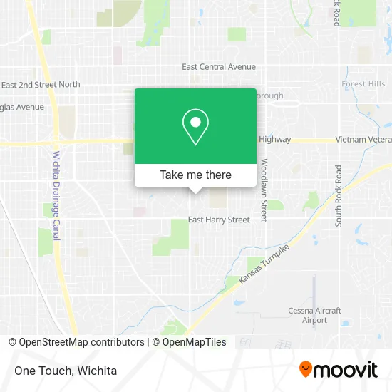
See One Touch, Wichita, on the map
Public Transit to One Touch in Wichita
Wondering how to get to One Touch in Wichita? Moovit helps you find the best way to get to One Touch with step-by-step directions from the nearest public transit station.
Moovit provides free maps and live directions to help you navigate through your city. View schedules, routes, timetables, and find out how long does it take to get to One Touch in real time.
Looking for the nearest stop or station to One Touch? Check out this list of stops closest to your destination: Parklane Shopping Center; Lincoln And Glendale Ob; Oliver And Boston South Bound; Harry And Elpyco Ob.
Bus: 202: OLIVE, ROUTE22: S BDWY-, ROUTE23: PWNEPLA, ROUTE29: HYDRAUL, SOUTHEAST HIGH.
Want to see if there’s another route that gets you there at an earlier time? Moovit helps you find alternative routes or times. Get directions from and directions to One Touch easily from the Moovit App or Website.
We make riding to One Touch easy, which is why over 1.5 million users, including users in Wichita, trust Moovit as the best app for public transit. You don’t need to download an individual bus app or train app, Moovit is your all-in-one transit app that helps you find the best bus time or train time available.
For information on prices of bus, costs and ride fares to One Touch, please check the Moovit app.
Use the app to navigate to popular places including to the airport, hospital, stadium, grocery store, mall, coffee shop, school, college, and university.
One Touch Address: Wichita, KS 67218 street in Wichita
- Rent1st,
- Southeast Carry Out,
- Clear Water Purification,
- Dedicated Senior Medical Center,
- Sol Beauty Supply,
- Accurate Tax Service,
- Simba Dojang Taekwon-do Academy,
- Farmers Insurance - Jeffrey Mitchell,
- Home Plumbing,
- Grace Korean, Japanese & Asian Market,
- Afghan Halal Market,
- Creative Custom Design,
- Elite Home Helpers,
- Haylormade,
- Prairie Vistas Gallery,
- Salvation Army,
- American Directions Group,
- Friends Of Recovery Assn,
- Garden Plain State Bank,
- DT's Outlet South
Places Near One Touch (Wichita)
- Spirit Aerosystems Inc, Building 1-198D,
- Spirit AeroSystems, Bldg 2-280J (Section 9),
- Ratcliff Auto and Truck Repair, Wichita,
- Paige Place Apartments, Wichita,
- Spirit Aerosystems,
- McConnell Air Force Base, Mcconnell Afb,
- Bmer Tech Automotive, Wichita,
- Westside Athletic Field (Friends University Baseball Field), Wichita,
- Four Corners Cafe @ Wesley Medical Center, Wichita,
- Hubb's glory hole, Wichita,
- East 21st Street North and Webb Road, Wichita,
- Ascencion Via Christi Hospital St Francis, Wichita,
- Wichita Dwight D. Eisenhower National Airport (ICT) (Wichita Eisenhower National Airport), Wichita,
- 21st & Maize, Wichita,
- Lopez Services, Wichita,
- Afghan Halal Market, Wichita,
- Sena African Hair Braiding LLC, Wichita,
- Total Card Solutions, Wichita,
- North High School, Wichita,
- Towne East Mall, Wichita
How to get to popular places in Wichita with public transit
Get around Wichita by public transit!
Traveling around Wichita has never been so easy. See step by step directions as you travel to any attraction, street or major public transit station. View bus and train schedules, arrival times, service alerts and detailed routes on a map, so you know exactly how to get to anywhere in Wichita.
When traveling to any destination around Wichita use Moovit's Live Directions with Get Off Notifications to know exactly where and how far to walk, how long to wait for your line, and how many stops are left. Moovit will alert you when it's time to get off — no need to constantly re-check whether yours is the next stop.
Wondering how to use public transit in Wichita or how to pay for public transit in Wichita? Moovit public transit app can help you navigate your way with public transit easily, and at minimum cost. It includes public transit fees, ticket prices, and costs. Looking for a map of Wichita public transit lines? Moovit public transit app shows all public transit maps in Wichita with all bus routes and stops on an interactive map.
Wichita has 1 transit type(s), including: bus, operated by several transit agencies, including Wichita Transit, Greyhound-us and FlixBus-us