How to get to Opticks Ltd. by bus?
Click on the bus route to see step by step directions with maps, line arrival times and updated time schedules.
How to get to Opticks Ltd. by train?
Click on the train route to see step by step directions with maps, line arrival times and updated time schedules.
Bus stops near Opticks Ltd. in Lowell
Bus lines to Opticks Ltd. in Lowell
- 2, White Dove Plaza,VIEW
- 3, North Billerica Train Station,VIEW
- 4, Lowell High School,VIEW
- 5, Paige And Kirk Streets,VIEW
- 7, Kennedy Center,VIEW
- 13, Gorham Street,VIEW
- 16, Cross Point Tower,VIEW
- 17, Walmart,VIEW
- 1, Christian Hill,VIEW
- 8, Centralville,VIEW
- 10, Dracut/Tyngsboro,VIEW
- 18, Kennedy Center,VIEW
- 9, Loop,VIEW
- 11, IRS/Raytheon via Rte. 133,VIEW
- 12, Tewksbury via Rte. 38/Wilmington Train Station,VIEW
- 24, Robert B. Kennedy Transfer Center,VIEW
What are the closest stations to Opticks Ltd.?
The closest stations to Opticks Ltd. are:
- Paige St And Kirk St - Lowell High School is 112 yards away, 2 min walk.
- French St & John St is 121 yards away, 2 min walk.
- Lowell High School is 219 yards away, 3 min walk.
- Merrimack St & John St is 374 yards away, 5 min walk.
- Middlesex St & Moulton Ave is 388 yards away, 5 min walk.
- Church Street (Central Plaza) is 433 yards away, 6 min walk.
Which bus lines stop near Opticks Ltd.?
These bus lines stop near Opticks Ltd.: 12, 24.
Which train line stops near Opticks Ltd.?
LOWELL (#331 | Lowell)
What’s the nearest bus station to Opticks Ltd. in Lowell?
The nearest bus stations to Opticks Ltd. in Lowell are Paige St And Kirk St - Lowell High School and French St & John St. The closest one is a 2 min walk away.
What time is the first bus to Opticks Ltd. in Lowell?
The 24 is the first bus that goes to Opticks Ltd. in Lowell. It stops nearby at 5:35 AM.
What time is the last bus to Opticks Ltd. in Lowell?
The 24 is the last bus that goes to Opticks Ltd. in Lowell. It stops nearby at 9:36 PM.
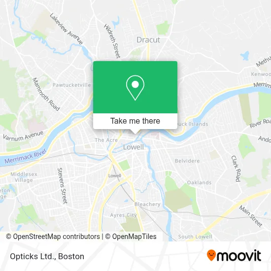
See Opticks Ltd., Lowell, on the map
Public Transit to Opticks Ltd. in Lowell
Wondering how to get to Opticks Ltd. in Lowell? Moovit helps you find the best way to get to Opticks Ltd. with step-by-step directions from the nearest public transit station.
Moovit provides free maps and live directions to help you navigate through your city. View schedules, routes, timetables, and find out how long does it take to get to Opticks Ltd. in real time.
Looking for the nearest stop or station to Opticks Ltd.? Check out this list of stops closest to your destination: Paige St And Kirk St - Lowell High School; French St & John St; Lowell High School; Merrimack St & John St; Middlesex St & Moulton Ave; Church Street (Central Plaza).
Bus: 12, 24, 2, 3, 4, 5, 7, 1, 8, 10, 18, 9, 11.Train: LOWELL.
Want to see if there’s another route that gets you there at an earlier time? Moovit helps you find alternative routes or times. Get directions from and directions to Opticks Ltd. easily from the Moovit App or Website.
We make riding to Opticks Ltd. easy, which is why over 1.7 million users, including users in Lowell, trust Moovit as the best app for public transit. You don’t need to download an individual bus app or train app, Moovit is your all-in-one transit app that helps you find the best bus time or train time available.
For information on prices of bus and train, costs and ride fares to Opticks Ltd., please check the Moovit app.
Use the app to navigate to popular places including to the airport, hospital, stadium, grocery store, mall, coffee shop, school, college, and university.
Opticks Ltd. Address: 10 Merrimack St street in Lowell
- Merrimack St Building 24,
- McCullough, Wayne,
- Dunkin',
- Starwings To Go,
- C's Vegan And Vegetarian Gurukul In Near Future,
- Dollar Buy,
- Downtown Liquors,
- ATM,
- Sgt Licciardi Massachusetts Army National Guard,
- Wheeler, Juliet,
- Lawrence Alcohol Rehab Centers,
- Family Taxi,
- Louilowell,
- SSG Robert Liccardi,
- Sgt Nickolous Shin,
- Locksmith Day and Night,
- 24 Merrimack Street Apartments,
- Navy Recruiting Station,
- Kung Fu Tea Lowell,
- Mill City Accounting Services
Places Near Opticks Ltd. (Lowell)
- Mgm Music Hall, Boston,
- House Of Blues, Boston,
- Boston Medical Center, Boston,
- Castle Island, Boston,
- Leader Bank Pavilion (Leader Bank Pavillion), Boston,
- Museum Of Science, Boston,
- Boston Convention & Exhibition Center, Boston,
- Massachusetts General Hospital, Boston,
- Cheers, Boston,
- Wang Theater, Boston,
- Wilbur Theatre, Boston,
- Td Garden, Boston,
- Boston Common, Boston,
- Faneuil Hall, Boston,
- Isabella Stewart Gardner Museum, Boston,
- Quincy Market, Boston,
- Boston Children's Hospital, Boston,
- Prudential Center, Boston,
- Seaport District, Boston,
- North End, Boston
How to get to popular places in Boston with public transit
Get around Lowell by public transit!
Traveling around Lowell has never been so easy. See step by step directions as you travel to any attraction, street or major public transit station. View bus and train schedules, arrival times, service alerts and detailed routes on a map, so you know exactly how to get to anywhere in Lowell.
When traveling to any destination around Lowell use Moovit's Live Directions with Get Off Notifications to know exactly where and how far to walk, how long to wait for your line, and how many stops are left. Moovit will alert you when it's time to get off — no need to constantly re-check whether yours is the next stop.
Wondering how to use public transit in Lowell or how to pay for public transit in Lowell? Moovit public transit app can help you navigate your way with public transit easily, and at minimum cost. It includes public transit fees, ticket prices, and costs. Looking for a map of Lowell public transit lines? Moovit public transit app shows all public transit maps in Lowell with all Bus, Train, Subway and Ferry routes and stops on an interactive map.
Boston has 4 transit type(s), including: Bus, Train, Subway and Ferry, operated by several transit agencies, including MBTA, Southeastern Regional Transit Authority, MetroWest Regional Transit Authority, Rhode Island Public Transit Authority, WRTA, Lowell Regional Transit Authority, Merrimack Valley Transit, Montachusett Regional Transit Authority, Cape Cod Regional Transit Authority, Brockton Area Transit Authority, Martha's Vineyard Transit Authority, the WAVE - Nantucket Regional Transit Authority, GATRA, Cape Ann Transportation Authority and Massport