Directions to Ossastudio (Worcester) with public transportation
The following transit lines have routes that pass near Ossastudio
 Bus: 19, 27, 33, 825, GREYHOUND US0230.
How to get to Ossastudio by bus?
Click on the bus route to see step by step directions with maps, line arrival times and updated time schedules.
Bus stops near Ossastudio in Worcester
Bus lines to Ossastudio in Worcester
What are the closest stations to Ossastudio?
The closest stations to Ossastudio are:
- Park Ave + Mill St is 217 yards away, 3 min walk.
- Main St + Freeland St is 233 yards away, 3 min walk.
- Park Ave + Coes St is 279 yards away, 4 min walk.
Which bus lines stop near Ossastudio?
These bus lines stop near Ossastudio: 19, 27, 33, 825, GREYHOUND US0230.
What’s the nearest bus station to Ossastudio in Worcester?
The nearest bus stations to Ossastudio in Worcester are Park Ave + Mill St and Main St + Freeland St. The closest one is a 3 min walk away.
What time is the first bus to Ossastudio in Worcester?
The 19 is the first bus that goes to Ossastudio in Worcester. It stops nearby at 5:09 AM.
What time is the last bus to Ossastudio in Worcester?
The 19 is the last bus that goes to Ossastudio in Worcester. It stops nearby at 10:43 PM.
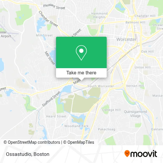
See Ossastudio, Worcester, on the map
Public Transit to Ossastudio in Worcester
Wondering how to get to Ossastudio in Worcester? Moovit helps you find the best way to get to Ossastudio with step-by-step directions from the nearest public transit station.
Moovit provides free maps and live directions to help you navigate through your city. View schedules, routes, timetables, and find out how long does it take to get to Ossastudio in real time.
Looking for the nearest stop or station to Ossastudio? Check out this list of stops closest to your destination: Park Ave + Mill St; Main St + Freeland St; Park Ave + Coes St.
Bus: 19, 27, 33, 825, GREYHOUND US0230, 7.
Want to see if there’s another route that gets you there at an earlier time? Moovit helps you find alternative routes or times. Get directions from and directions to Ossastudio easily from the Moovit App or Website.
We make riding to Ossastudio easy, which is why over 1.7 million users, including users in Worcester, trust Moovit as the best app for public transit. You don’t need to download an individual bus app or train app, Moovit is your all-in-one transit app that helps you find the best bus time or train time available.
For information on prices of bus and train, costs and ride fares to Ossastudio, please check the Moovit app.
Use the app to navigate to popular places including to the airport, hospital, stadium, grocery store, mall, coffee shop, school, college, and university.
Ossastudio Address: 15 Hitchcock Rd street in Worcester
- Main South Market,
- American Medical Response,
- SRK Gas,
- Main St + Hitchcock Rd,
- Pilgrim Bay Insurance Agency,
- Magalis Beauty Salon,
- Cambridge St Auto Exchange LLC,
- Edge34hairsalon,
- Cheyenne Motors,
- Morall Brake Center,
- Yanez Construction,
- Ramco Window Service,
- Accra Super Market,
- Jesus Life Center UMC,
- Wooden Bar,
- Dirt McGirt's,
- Patriot,
- Asia Mini Mart,
- Superior Exterior,
- Cookies
Places Near Ossastudio (Worcester)
- Cheers, Boston,
- Seaport District, Boston,
- North End, Boston,
- Faneuil Hall, Boston,
- Castle Island, Boston,
- Wilbur Theatre, Boston,
- Boston Children's Hospital, Boston,
- Boston Convention & Exhibition Center, Boston,
- Boston Medical Center, Boston,
- Museum Of Science, Boston,
- Prudential Center, Boston,
- House Of Blues, Boston,
- Mgm Music Hall, Boston,
- Massachusetts General Hospital, Boston,
- Boston Common, Boston,
- Wang Theater, Boston,
- Leader Bank Pavilion (Leader Bank Pavillion), Boston,
- Quincy Market, Boston,
- Isabella Stewart Gardner Museum, Boston,
- Td Garden, Boston
How to get to popular places in Boston with public transit
Get around Worcester by public transit!
Traveling around Worcester has never been so easy. See step by step directions as you travel to any attraction, street or major public transit station. View bus and train schedules, arrival times, service alerts and detailed routes on a map, so you know exactly how to get to anywhere in Worcester.
When traveling to any destination around Worcester use Moovit's Live Directions with Get Off Notifications to know exactly where and how far to walk, how long to wait for your line, and how many stops are left. Moovit will alert you when it's time to get off — no need to constantly re-check whether yours is the next stop.
Wondering how to use public transit in Worcester or how to pay for public transit in Worcester? Moovit public transit app can help you navigate your way with public transit easily, and at minimum cost. It includes public transit fees, ticket prices, and costs. Looking for a map of Worcester public transit lines? Moovit public transit app shows all public transit maps in Worcester with all Bus, Train, Subway and Ferry routes and stops on an interactive map.
Boston has 4 transit type(s), including: Bus, Train, Subway and Ferry, operated by several transit agencies, including MBTA, Southeastern Regional Transit Authority, MetroWest Regional Transit Authority, Rhode Island Public Transit Authority, WRTA, Lowell Regional Transit Authority, Merrimack Valley Transit, Montachusett Regional Transit Authority, Cape Cod Regional Transit Authority, Brockton Area Transit Authority, Martha's Vineyard Transit Authority, the WAVE - Nantucket Regional Transit Authority, GATRA, Cape Ann Transportation Authority and Massport