How to get to Our Lady Of Angels Development Director by bus?
Click on the bus route to see step by step directions with maps, line arrival times and updated time schedules.
Bus stops near Our Lady Of Angels Development Director in Worcester
Bus lines to Our Lady Of Angels Development Director in Worcester
What are the closest stations to Our Lady Of Angels Development Director?
The closest stations to Our Lady Of Angels Development Director are:
- Stafford St + Curtis Pkwy is 138 yards away, 2 min walk.
- Webster Square Plaza is 174 yards away, 3 min walk.
Which bus lines stop near Our Lady Of Angels Development Director?
These bus lines stop near Our Lady Of Angels Development Director: 19, 27, 33, 825.
What’s the nearest bus station to Our Lady Of Angels Development Director in Worcester?
The nearest bus station to Our Lady Of Angels Development Director in Worcester is Stafford St + Curtis Pkwy. It’s a 2 min walk away.
What time is the first bus to Our Lady Of Angels Development Director in Worcester?
The 19 is the first bus that goes to Our Lady Of Angels Development Director in Worcester. It stops nearby at 5:06 AM.
What time is the last bus to Our Lady Of Angels Development Director in Worcester?
The 19 is the last bus that goes to Our Lady Of Angels Development Director in Worcester. It stops nearby at 10:41 PM.
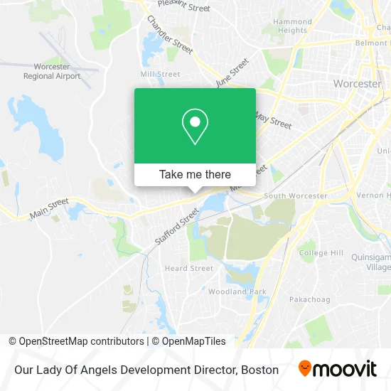
See Our Lady Of Angels Development Director, Worcester, on the map
Public Transit to Our Lady Of Angels Development Director in Worcester
Wondering how to get to Our Lady Of Angels Development Director in Worcester? Moovit helps you find the best way to get to Our Lady Of Angels Development Director with step-by-step directions from the nearest public transit station.
Moovit provides free maps and live directions to help you navigate through your city. View schedules, routes, timetables, and find out how long does it take to get to Our Lady Of Angels Development Director in real time.
Looking for the nearest stop or station to Our Lady Of Angels Development Director? Check out this list of stops closest to your destination: Stafford St + Curtis Pkwy; Webster Square Plaza.
Bus: 19, 27, 33, 825.
Want to see if there’s another route that gets you there at an earlier time? Moovit helps you find alternative routes or times. Get directions from and directions to Our Lady Of Angels Development Director easily from the Moovit App or Website.
We make riding to Our Lady Of Angels Development Director easy, which is why over 1.7 million users, including users in Worcester, trust Moovit as the best app for public transit. You don’t need to download an individual bus app or train app, Moovit is your all-in-one transit app that helps you find the best bus time or train time available.
For information on prices of bus and train, costs and ride fares to Our Lady Of Angels Development Director, please check the Moovit app.
Use the app to navigate to popular places including to the airport, hospital, stadium, grocery store, mall, coffee shop, school, college, and university.
Our Lady Of Angels Development Director Address: 1220 Main St street in Worcester
- Our Lady of the Angels Parish,
- Q Look Bridal,
- LTJBM Church,
- Ctac,
- Butcher Family Foundation,
- Gates Lane Elementary School,
- New Creation Christian Church,
- Extended Care,
- Ma Rehabilitation Center & Addiction Treatment Programs,
- Bennett Field Swimming Pool,
- Manny Landscaping,
- Fair & Honest Painting Power Washing,
- Ma Solar Helpers,
- Alves Landscape,
- Agile Painting,
- Love Siku,
- Dennis M Handyman,
- JM Reliable Construction,
- Briella Homecare,
- Magic Touch Cleaning
Places Near Our Lady Of Angels Development Director (Worcester)
- Cheers, Boston,
- Quincy Market, Boston,
- North End, Boston,
- House Of Blues, Boston,
- Castle Island, Boston,
- Museum Of Science, Boston,
- Boston Children's Hospital, Boston,
- Faneuil Hall, Boston,
- Td Garden, Boston,
- Boston Convention & Exhibition Center, Boston,
- Boston Common, Boston,
- Massachusetts General Hospital, Boston,
- Wilbur Theatre, Boston,
- Isabella Stewart Gardner Museum, Boston,
- Wang Theater, Boston,
- Mgm Music Hall, Boston,
- Seaport District, Boston,
- Prudential Center, Boston,
- Leader Bank Pavilion (Leader Bank Pavillion), Boston,
- Boston Medical Center, Boston
How to get to popular places in Boston with public transit
Get around Worcester by public transit!
Traveling around Worcester has never been so easy. See step by step directions as you travel to any attraction, street or major public transit station. View bus and train schedules, arrival times, service alerts and detailed routes on a map, so you know exactly how to get to anywhere in Worcester.
When traveling to any destination around Worcester use Moovit's Live Directions with Get Off Notifications to know exactly where and how far to walk, how long to wait for your line, and how many stops are left. Moovit will alert you when it's time to get off — no need to constantly re-check whether yours is the next stop.
Wondering how to use public transit in Worcester or how to pay for public transit in Worcester? Moovit public transit app can help you navigate your way with public transit easily, and at minimum cost. It includes public transit fees, ticket prices, and costs. Looking for a map of Worcester public transit lines? Moovit public transit app shows all public transit maps in Worcester with all Bus, Train, Subway and Ferry routes and stops on an interactive map.
Boston has 4 transit type(s), including: Bus, Train, Subway and Ferry, operated by several transit agencies, including MBTA, Southeastern Regional Transit Authority, MetroWest Regional Transit Authority, Rhode Island Public Transit Authority, WRTA, Lowell Regional Transit Authority, Merrimack Valley Transit, Montachusett Regional Transit Authority, Cape Cod Regional Transit Authority, Brockton Area Transit Authority, Martha's Vineyard Transit Authority, the WAVE - Nantucket Regional Transit Authority, GATRA, Cape Ann Transportation Authority and Massport