How to get to Over the Top by bus?
Click on the bus route to see step by step directions with maps, line arrival times and updated time schedules.
From Tufts University, Medford
61 minFrom Sommerville Theatre, Somerville
66 minFrom Winter Hill, Somerville
64 minFrom Choi's Health Spa, Saugus
83 minFrom Wegmans, Medford
54 minFrom Walmart, Saugus
66 minFrom Davis Sq, Somerville
66 minFrom Malden, MA, Malden
37 minFrom Gateway Center, Everett
61 minFrom Target, Everett
61 min
How to get to Over the Top by train?
Click on the train route to see step by step directions with maps, line arrival times and updated time schedules.
Bus stop near Over the Top in Stoneham
- Redstone Shopping Center Access Rd, 2 min walk,VIEW
Train station near Over the Top in Stoneham
- Reading, 14 min walk,VIEW
Bus lines to Over the Top in Stoneham
- 132, Malden,VIEW
What are the closest stations to Over the Top?
The closest stations to Over the Top are:
- Redstone Shopping Center Access Rd is 102 yards away, 2 min walk.
- Reading is 1182 yards away, 14 min walk.
Which bus lines stop near Over the Top?
These bus lines stop near Over the Top: 132, 354.
Which train line stops near Over the Top?
HAVERHILL (#229 | Haverhill)
What’s the nearest train station to Over the Top in Stoneham?
The nearest train station to Over the Top in Stoneham is Reading. It’s a 14 min walk away.
What’s the nearest bus station to Over the Top in Stoneham?
The nearest bus station to Over the Top in Stoneham is Redstone Shopping Center Access Rd. It’s a 2 min walk away.
What time is the first train to Over the Top in Stoneham?
The HAVERHILL is the first train that goes to Over the Top in Stoneham. It stops nearby at 5:18 AM.
What time is the last train to Over the Top in Stoneham?
The HAVERHILL is the last train that goes to Over the Top in Stoneham. It stops nearby at 12:13 AM.
What time is the first bus to Over the Top in Stoneham?
The 132 is the first bus that goes to Over the Top in Stoneham. It stops nearby at 5:41 AM.
What time is the last bus to Over the Top in Stoneham?
The 132 is the last bus that goes to Over the Top in Stoneham. It stops nearby at 11:29 PM.
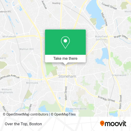
See Over the Top, Stoneham, on the map
Public Transit to Over the Top in Stoneham
Wondering how to get to Over the Top in Stoneham? Moovit helps you find the best way to get to Over the Top with step-by-step directions from the nearest public transit station.
Moovit provides free maps and live directions to help you navigate through your city. View schedules, routes, timetables, and find out how long does it take to get to Over the Top in real time.
Looking for the nearest stop or station to Over the Top? Check out this list of stops closest to your destination: Redstone Shopping Center Access Rd; Reading.
Bus: 132, 354.Train: HAVERHILL.
Want to see if there’s another route that gets you there at an earlier time? Moovit helps you find alternative routes or times. Get directions from and directions to Over the Top easily from the Moovit App or Website.
We make riding to Over the Top easy, which is why over 1.7 million users, including users in Stoneham, trust Moovit as the best app for public transit. You don’t need to download an individual bus app or train app, Moovit is your all-in-one transit app that helps you find the best bus time or train time available.
For information on prices of bus, subway and train, costs and ride fares to Over the Top, please check the Moovit app.
Use the app to navigate to popular places including to the airport, hospital, stadium, grocery store, mall, coffee shop, school, college, and university.
Over the Top Address: 221 Main St Ste B street in Stoneham
- Ed Storck Cleaning,
- Over the Top Barbershop,
- East Boston Savings Bank,
- EV Connect,
- Sound City Ent.,
- Northeast Veterinary Partners,
- Cory Mills Cameron Real Estate Group,
- Town Taxi of Stoneham,
- 1176 Hearinglife Stone,
- Stretchlab,
- Shred Nations,
- Mabbett & Associates,
- FedEx Office,
- Shawmut Woodworking,
- DUNKIN',
- Direct SAT TV,
- Sarah!'s Spanking Hoint,
- Mobil Mart,
- Bitcoin Depot - Bitcoin ATM,
- Coinstar
Places Near Over the Top (Stoneham)
- Boston Common, Boston,
- Boston Medical Center, Boston,
- North End, Boston,
- Td Garden, Boston,
- Boston Children's Hospital, Boston,
- Cheers, Boston,
- Seaport District, Boston,
- Museum Of Science, Boston,
- Isabella Stewart Gardner Museum, Boston,
- Faneuil Hall, Boston,
- Wang Theater, Boston,
- Prudential Center, Boston,
- Massachusetts General Hospital, Boston,
- Castle Island, Boston,
- Wilbur Theatre, Boston,
- Boston Convention & Exhibition Center, Boston,
- Mgm Music Hall, Boston,
- House Of Blues, Boston,
- Quincy Market, Boston,
- Leader Bank Pavilion (Leader Bank Pavillion), Boston
How to get to popular places in Boston with public transit
Get around Stoneham by public transit!
Traveling around Stoneham has never been so easy. See step by step directions as you travel to any attraction, street or major public transit station. View bus and train schedules, arrival times, service alerts and detailed routes on a map, so you know exactly how to get to anywhere in Stoneham.
When traveling to any destination around Stoneham use Moovit's Live Directions with Get Off Notifications to know exactly where and how far to walk, how long to wait for your line, and how many stops are left. Moovit will alert you when it's time to get off — no need to constantly re-check whether yours is the next stop.
Wondering how to use public transit in Stoneham or how to pay for public transit in Stoneham? Moovit public transit app can help you navigate your way with public transit easily, and at minimum cost. It includes public transit fees, ticket prices, and costs. Looking for a map of Stoneham public transit lines? Moovit public transit app shows all public transit maps in Stoneham with all Bus, Train, Subway and Ferry routes and stops on an interactive map.
Boston has 4 transit type(s), including: Bus, Train, Subway and Ferry, operated by several transit agencies, including MBTA, Southeastern Regional Transit Authority, MetroWest Regional Transit Authority, Rhode Island Public Transit Authority, WRTA, Lowell Regional Transit Authority, Merrimack Valley Transit, Montachusett Regional Transit Authority, Cape Cod Regional Transit Authority, Brockton Area Transit Authority, Martha's Vineyard Transit Authority, the WAVE - Nantucket Regional Transit Authority, GATRA, Cape Ann Transportation Authority and Massport