Directions to Pakland Auto Sales (Boston) with public transportation
The following transit lines have routes that pass near Pakland Auto Sales
 Bus: 11.
How to get to Pakland Auto Sales by bus?
Click on the bus route to see step by step directions with maps, line arrival times and updated time schedules.
From Polar Park, Worcester
38 minFrom South High Community School, Worcester
89 minFrom Registry Of Motor Vehicles (Rmv) Branch Office, Worcester
62 minFrom Quinsigamond Community College, Worcester
76 minFrom Umass Memorial Medical Center, Worcester
65 minFrom Umass Memorial Medical Center - University Campus, Worcester
67 min
Bus stop near Pakland Auto Sales in Boston
- 48 Upland Garden, 2 min walk,VIEW
Bus lines to Pakland Auto Sales in Boston
- 11, Fair Plaza Rt 20,VIEW
What are the closest stations to Pakland Auto Sales?
The closest stations to Pakland Auto Sales are:
- 48 Upland Garden is 157 yards away, 2 min walk.
Which bus line stops near Pakland Auto Sales?
11 (Central Hub→Fair Plaza Rt 20)
What’s the nearest bus station to Pakland Auto Sales in Boston?
The nearest bus station to Pakland Auto Sales in Boston is 48 Upland Garden. It’s a 2 min walk away.
What time is the first bus to Pakland Auto Sales in Boston?
The 11 is the first bus that goes to Pakland Auto Sales in Boston. It stops nearby at 4:57 AM.
What time is the last bus to Pakland Auto Sales in Boston?
The 11 is the last bus that goes to Pakland Auto Sales in Boston. It stops nearby at 11:18 PM.
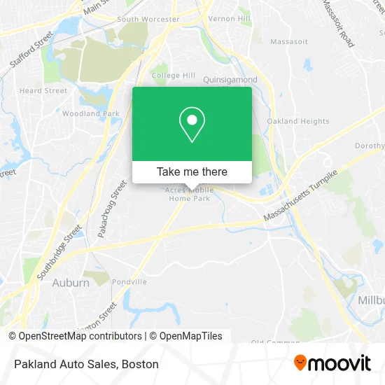
See Pakland Auto Sales, Boston, on the map
Public Transit to Pakland Auto Sales in Boston
Wondering how to get to Pakland Auto Sales in Boston? Moovit helps you find the best way to get to Pakland Auto Sales with step-by-step directions from the nearest public transit station.
Moovit provides free maps and live directions to help you navigate through your city. View schedules, routes, timetables, and find out how long does it take to get to Pakland Auto Sales in real time.
Looking for the nearest stop or station to Pakland Auto Sales? Check out this list of stops closest to your destination: 48 Upland Garden.
Bus: 11.
Want to see if there’s another route that gets you there at an earlier time? Moovit helps you find alternative routes or times. Get directions from and directions to Pakland Auto Sales easily from the Moovit App or Website.
We make riding to Pakland Auto Sales easy, which is why over 1.7 million users, including users in Boston, trust Moovit as the best app for public transit. You don’t need to download an individual bus app or train app, Moovit is your all-in-one transit app that helps you find the best bus time or train time available.
For information on prices of bus, costs and ride fares to Pakland Auto Sales, please check the Moovit app.
Use the app to navigate to popular places including to the airport, hospital, stadium, grocery store, mall, coffee shop, school, college, and university.
Pakland Auto Sales Address: 113 Washington St street in Boston
- Tedspizzaworcester,
- Pauls Auto Glass,
- Amazon Locker-Neff,
- First Federal,
- Credit Union 1,
- First Wesleyan Church,
- Webfirst Insurance,
- Overhaul Auto Cosmetics,
- Spear Management Group,
- Spofford Rd + Greenwood St,
- Christadelphian Musalla,
- Minuteman Housekeeping,
- Park & Ride-Millbury,
- Spray Park Forsberg St Worcester Ma,
- Life Skills,
- Advantage Technical Resourcing,
- Hampton Counseling Affiliates,
- AG Signs & Graphics,
- ABC Drivers Education,
- Salon Professional Services
Places Near Pakland Auto Sales (Boston)
- Boston Common, Boston,
- Seaport District, Boston,
- Isabella Stewart Gardner Museum, Boston,
- Boston Children's Hospital, Boston,
- Massachusetts General Hospital, Boston,
- North End, Boston,
- Wilbur Theatre, Boston,
- Cheers, Boston,
- Faneuil Hall, Boston,
- Boston Convention & Exhibition Center, Boston,
- Wang Theater, Boston,
- Td Garden, Boston,
- Prudential Center, Boston,
- Boston Medical Center, Boston,
- Mgm Music Hall, Boston,
- Castle Island, Boston,
- Museum Of Science, Boston,
- Quincy Market, Boston,
- Leader Bank Pavilion (Leader Bank Pavillion), Boston,
- House Of Blues, Boston
How to get to popular places in Boston with public transit
Get around Boston by public transit!
Traveling around Boston has never been so easy. See step by step directions as you travel to any attraction, street or major public transit station. View bus and train schedules, arrival times, service alerts and detailed routes on a map, so you know exactly how to get to anywhere in Boston.
When traveling to any destination around Boston use Moovit's Live Directions with Get Off Notifications to know exactly where and how far to walk, how long to wait for your line, and how many stops are left. Moovit will alert you when it's time to get off — no need to constantly re-check whether yours is the next stop.
Wondering how to use public transit in Boston or how to pay for public transit in Boston? Moovit public transit app can help you navigate your way with public transit easily, and at minimum cost. It includes public transit fees, ticket prices, and costs. Looking for a map of Boston public transit lines? Moovit public transit app shows all public transit maps in Boston with all Bus, Train, Subway and Ferry routes and stops on an interactive map.
Boston has 4 transit type(s), including: Bus, Train, Subway and Ferry, operated by several transit agencies, including MBTA, Southeastern Regional Transit Authority, MetroWest Regional Transit Authority, Rhode Island Public Transit Authority, WRTA, Lowell Regional Transit Authority, Merrimack Valley Transit, Montachusett Regional Transit Authority, Cape Cod Regional Transit Authority, Brockton Area Transit Authority, Martha's Vineyard Transit Authority, the WAVE - Nantucket Regional Transit Authority, GATRA, Cape Ann Transportation Authority and Massport