How to get to Paramount Properties Boston by bus?
Click on the bus route to see step by step directions with maps, line arrival times and updated time schedules.
From The Garment District
89 minFrom Yankee Lobster
90 minFrom Santarpio's Pizza
103 minFrom South Boston
47 minFrom Citizens Bank Opera House
75 minFrom the mall at rockingham park mall
70 minFrom Suffolk County Superior Court
74 minFrom Hampton Inn-Cambridge
94 minFrom Hotel Indigo Boston Garden an IHG Hotel
76 minFrom Boston Navy Yard
96 min
How to get to Paramount Properties Boston by train?
Click on the train route to see step by step directions with maps, line arrival times and updated time schedules.
How to get to Paramount Properties Boston by subway?
Click on the subway route to see step by step directions with maps, line arrival times and updated time schedules.
From The Garment District
46 minFrom Yankee Lobster
53 minFrom Santarpio's Pizza
52 minFrom South Boston
36 minFrom Citizens Bank Opera House
74 minFrom the mall at rockingham park mall
81 minFrom Suffolk County Superior Court
38 minFrom Hampton Inn-Cambridge
53 minFrom Hotel Indigo Boston Garden an IHG Hotel
40 minFrom Boston Navy Yard
61 min
Bus stops near Paramount Properties Boston
Subway stations near Paramount Properties Boston
Bus lines to Paramount Properties Boston
What are the closest stations to Paramount Properties Boston?
The closest stations to Paramount Properties Boston are:
- Adams St @ Franconia St is 213 yards away, 3 min walk.
- Adams St @ Westmoreland St is 244 yards away, 3 min walk.
- Granite Ave @ Milton St is 244 yards away, 3 min walk.
- Cedar Grove is 1070 yards away, 13 min walk.
- Shawmut is 1693 yards away, 20 min walk.
Which bus lines stop near Paramount Properties Boston?
These bus lines stop near Paramount Properties Boston: 202, 215, 22, 23.
Which train line stops near Paramount Properties Boston?
FAIRMOUNT (#1619 | Fairmount)
Which subway line stops near Paramount Properties Boston?
RED LINE (Ashmont/Braintree)
What’s the nearest subway station to Paramount Properties Boston?
The nearest subway station to Paramount Properties Boston is Cedar Grove. It’s a 13 min walk away.
What’s the nearest bus station to Paramount Properties Boston?
The nearest bus stations to Paramount Properties Boston are Adams St @ Franconia St, Adams St @ Westmoreland St and Granite Ave @ Milton St. The closest one is a 3 min walk away.
What time is the first subway to Paramount Properties Boston?
The MATTAPAN LINE is the first subway that goes to Paramount Properties Boston. It stops nearby at 5:06 AM.
What time is the last subway to Paramount Properties Boston?
The MATTAPAN LINE is the last subway that goes to Paramount Properties Boston. It stops nearby at 2:35 AM.
What time is the first bus to Paramount Properties Boston?
The 201 is the first bus that goes to Paramount Properties Boston. It stops nearby at 5:20 AM.
What time is the last bus to Paramount Properties Boston?
The 215 is the last bus that goes to Paramount Properties Boston. It stops nearby at 1:02 AM.
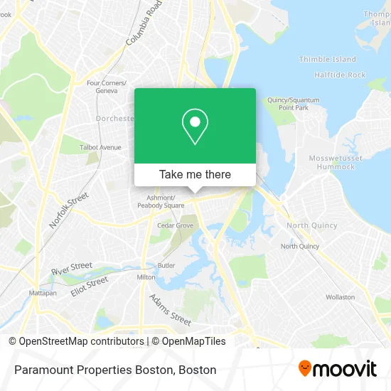
See Paramount Properties Boston on the map
Public Transportation to Paramount Properties Boston
Wondering how to get to Paramount Properties Boston? Moovit helps you find the best way to get to Paramount Properties Boston with step-by-step directions from the nearest public transit station.
Moovit provides free maps and live directions to help you navigate through your city. View schedules, routes, timetables, and find out how long does it take to get to Paramount Properties Boston in real time.
Looking for the nearest stop or station to Paramount Properties Boston? Check out this list of stops closest to your destination: Adams St @ Franconia St; Adams St @ Westmoreland St; Granite Ave @ Milton St; Cedar Grove; Shawmut.
Bus: 202, 215, 22, 23, 201, 19.Train: FAIRMOUNT.Subway: RED LINE, MATTAPAN LINE.
Want to see if there’s another route that gets you there at an earlier time? Moovit helps you find alternative routes or times. Get directions from and directions to Paramount Properties Boston easily from the Moovit App or Website.
We make riding to Paramount Properties Boston easy, which is why over 1.7 million users, including users in Boston, trust Moovit as the best app for public transit. You don’t need to download an individual bus app or train app, Moovit is your all-in-one transit app that helps you find the best bus time or train time available.
For information on prices of subway, bus and train, costs and ride fares to Paramount Properties Boston, please check the Moovit app.
Use the app to navigate to popular places including to the airport, hospital, stadium, grocery store, mall, coffee shop, school, college, and university.
Paramount Properties Boston Address: 206 Minot St street in Boston
- Adams Corner Cafe & Butcher Shop Market,
- Adams Village,
- Southie Apparel,
- Diamond Nails Spa,
- O'Neill Builders,
- St Brendan's (St Brendan Catholic Church),
- Metabank,
- Carls Custom Painting,
- Ashmont St Building 360,
- Moo Bishop & Co,
- My Hair Salon,
- Cedar Grove MBTA,
- Speedway,
- B & T & Sons,
- MBTA codman yard,
- Adams House Condos,
- Granite Avenue Drawbridge,
- Florian Hall,
- MBTA Ashmont / Peabody Square Station,
- Fidelity National
Places Near Paramount Properties Boston
- Castle Island, Boston,
- North End, Boston,
- Td Garden, Boston,
- House Of Blues, Boston,
- Leader Bank Pavilion (Leader Bank Pavillion), Boston,
- Boston Common, Boston,
- Mgm Music Hall, Boston,
- Wang Theater, Boston,
- Boston Children's Hospital, Boston,
- Museum Of Science, Boston,
- Massachusetts General Hospital, Boston,
- Boston Medical Center, Boston,
- Seaport District, Boston,
- Prudential Center, Boston,
- Faneuil Hall, Boston,
- Quincy Market, Boston,
- Isabella Stewart Gardner Museum, Boston,
- Boston Convention & Exhibition Center, Boston,
- Cheers, Boston,
- Wilbur Theatre, Boston
How to get to popular places in Boston with public transit
Get around Boston by public transit!
Traveling around Boston has never been so easy. See step by step directions as you travel to any attraction, street or major public transit station. View bus and train schedules, arrival times, service alerts and detailed routes on a map, so you know exactly how to get to anywhere in Boston.
When traveling to any destination around Boston use Moovit's Live Directions with Get Off Notifications to know exactly where and how far to walk, how long to wait for your line, and how many stops are left. Moovit will alert you when it's time to get off — no need to constantly re-check whether yours is the next stop.
Wondering how to use public transit in Boston or how to pay for public transit in Boston? Moovit public transit app can help you navigate your way with public transit easily, and at minimum cost. It includes public transit fees, ticket prices, and costs. Looking for a map of Boston public transit lines? Moovit public transit app shows all public transit maps in Boston with all Bus, Train, Subway and Ferry routes and stops on an interactive map.
Boston has 4 transit type(s), including: Bus, Train, Subway and Ferry, operated by several transit agencies, including MBTA, Southeastern Regional Transit Authority, MetroWest Regional Transit Authority, Rhode Island Public Transit Authority, WRTA, Lowell Regional Transit Authority, Merrimack Valley Transit, Montachusett Regional Transit Authority, Cape Cod Regional Transit Authority, Brockton Area Transit Authority, Martha's Vineyard Transit Authority, the WAVE - Nantucket Regional Transit Authority, GATRA, Cape Ann Transportation Authority and Massport