How to get to Parfait by bus?
Click on the bus route to see step by step directions with maps, line arrival times and updated time schedules.
From COURTYARD-Boston Cambridge (Cambridge Marriott), Cambridge
80 minFrom Allston, Boston
80 minFrom Heartbreak Hill, Newton
88 minFrom Assembly Square Mall Shopping Center, Somerville
62 minFrom Boston Dynamics, Waltham
129 minFrom La Quinta Inn & Suites Boston Somerville, Somerville
61 minFrom Boston University Track and Tennis Center, Boston
80 minFrom Lasell College, Newton
120 minFrom Sommerville Theatre, Somerville
34 minFrom Tufts University, Medford
44 min
Bus stop near Parfait in Lexington
- Massachusetts Ave @ Bow St, 9 min walk,VIEW
Train station near Parfait in Lexington
- Belmont, 57 min walk,VIEW
Bus lines to Parfait in Lexington
- 62, Bedford Va,VIEW
What are the closest stations to Parfait?
The closest stations to Parfait are:
- Massachusetts Ave @ Bow St is 747 yards away, 9 min walk.
- Belmont is 4927 yards away, 57 min walk.
Which bus lines stop near Parfait?
These bus lines stop near Parfait: 62, 77, 78.
What’s the nearest bus station to Parfait in Lexington?
The nearest bus station to Parfait in Lexington is Massachusetts Ave @ Bow St. It’s a 9 min walk away.
What time is the first train to Parfait in Lexington?
The FITCHBURG is the first train that goes to Parfait in Lexington. It stops nearby at 5:41 AM.
What time is the last train to Parfait in Lexington?
The FITCHBURG is the last train that goes to Parfait in Lexington. It stops nearby at 12:11 AM.
What time is the first bus to Parfait in Lexington?
The 62 is the first bus that goes to Parfait in Lexington. It stops nearby at 5:18 AM.
What time is the last bus to Parfait in Lexington?
The 62 is the last bus that goes to Parfait in Lexington. It stops nearby at 10:44 PM.
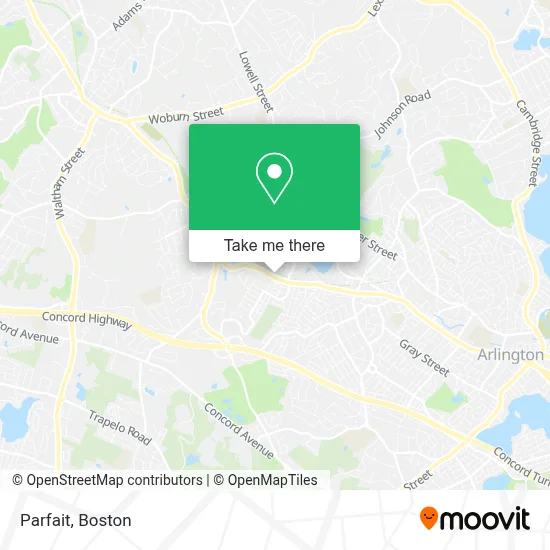
See Parfait, Lexington, on the map
Public Transit to Parfait in Lexington
Wondering how to get to Parfait in Lexington? Moovit helps you find the best way to get to Parfait with step-by-step directions from the nearest public transit station.
Moovit provides free maps and live directions to help you navigate through your city. View schedules, routes, timetables, and find out how long does it take to get to Parfait in real time.
Looking for the nearest stop or station to Parfait? Check out this list of stops closest to your destination: Massachusetts Ave @ Bow St; Belmont.
Bus: 62, 77, 78.Train: FITCHBURG.
Want to see if there’s another route that gets you there at an earlier time? Moovit helps you find alternative routes or times. Get directions from and directions to Parfait easily from the Moovit App or Website.
We make riding to Parfait easy, which is why over 1.7 million users, including users in Lexington, trust Moovit as the best app for public transit. You don’t need to download an individual bus app or train app, Moovit is your all-in-one transit app that helps you find the best bus time or train time available.
For information on prices of bus, subway and train, costs and ride fares to Parfait, please check the Moovit app.
Use the app to navigate to popular places including to the airport, hospital, stadium, grocery store, mall, coffee shop, school, college, and university.
Parfait Address: 229 Massachusetts Ave street in Lexington
- Woburn Flower Shop,
- Urban Eye Associates-Ma,
- Copacafe,
- USPS Collection Box - Blue Box,
- Jerry Cataldo Reservation,
- Massachussets Ave Door Unlocking,
- Larson Insurance,
- Great Sky Solar,
- Be U Nails and Spa,
- Personal Care Chiropractic,
- Libertyx Bitcoin ATM,
- Boemy Aesthetics,
- Gitlin Galina DMD,
- Belmontfamilydentistry,
- Alon,
- Polished,
- Brite Harvest Farm,
- B J Cockrell Real Estate Appraisal & Counsulting,
- Massachusetts Corporate Creators,
- Russell Hulteen
Places Near Parfait (Lexington)
- Museum Of Science, Boston,
- Td Garden, Boston,
- Leader Bank Pavilion (Leader Bank Pavillion), Boston,
- Massachusetts General Hospital, Boston,
- Boston Convention & Exhibition Center, Boston,
- Isabella Stewart Gardner Museum, Boston,
- House Of Blues, Boston,
- Seaport District, Boston,
- Wilbur Theatre, Boston,
- Quincy Market, Boston,
- Boston Medical Center, Boston,
- Prudential Center, Boston,
- North End, Boston,
- Cheers, Boston,
- Boston Common, Boston,
- Castle Island, Boston,
- Faneuil Hall, Boston,
- Boston Children's Hospital, Boston,
- Mgm Music Hall, Boston,
- Wang Theater, Boston
How to get to popular places in Boston with public transit
Get around Lexington by public transit!
Traveling around Lexington has never been so easy. See step by step directions as you travel to any attraction, street or major public transit station. View bus and train schedules, arrival times, service alerts and detailed routes on a map, so you know exactly how to get to anywhere in Lexington.
When traveling to any destination around Lexington use Moovit's Live Directions with Get Off Notifications to know exactly where and how far to walk, how long to wait for your line, and how many stops are left. Moovit will alert you when it's time to get off — no need to constantly re-check whether yours is the next stop.
Wondering how to use public transit in Lexington or how to pay for public transit in Lexington? Moovit public transit app can help you navigate your way with public transit easily, and at minimum cost. It includes public transit fees, ticket prices, and costs. Looking for a map of Lexington public transit lines? Moovit public transit app shows all public transit maps in Lexington with all Bus, Train, Subway and Ferry routes and stops on an interactive map.
Boston has 4 transit type(s), including: Bus, Train, Subway and Ferry, operated by several transit agencies, including MBTA, Southeastern Regional Transit Authority, MetroWest Regional Transit Authority, Rhode Island Public Transit Authority, WRTA, Lowell Regional Transit Authority, Merrimack Valley Transit, Montachusett Regional Transit Authority, Cape Cod Regional Transit Authority, Brockton Area Transit Authority, Martha's Vineyard Transit Authority, the WAVE - Nantucket Regional Transit Authority, GATRA, Cape Ann Transportation Authority and Massport