Directions to Parma Bar & Grille (Boston) with public transportation
The following transit lines have routes that pass near Parma Bar & Grille
 Bus: 50, 58, 73.
- Train: FOXBORO EVENT SERVICE, PROVIDENCE/STOUGHTON.
How to get to Parma Bar & Grille by bus?
Click on the bus route to see step by step directions with maps, line arrival times and updated time schedules.
Bus stops near Parma Bar & Grille in Boston
Train station near Parma Bar & Grille in Boston
- Pawtucket/Central Falls, 59 min walk,VIEW
Bus lines to Parma Bar & Grille in Boston
What are the closest stations to Parma Bar & Grille?
The closest stations to Parma Bar & Grille are:
- Mineral Spring Before Terry is 24 yards away, 1 min walk.
- 1307 Douglas is 466 yards away, 6 min walk.
- Pawtucket/Central Falls is 5003 yards away, 59 min walk.
Which bus lines stop near Parma Bar & Grille?
These bus lines stop near Parma Bar & Grille: 50, 58, 73.
What’s the nearest bus station to Parma Bar & Grille in Boston?
The nearest bus station to Parma Bar & Grille in Boston is Mineral Spring Before Terry. It’s a 1 min walk away.
What time is the first train to Parma Bar & Grille in Boston?
The PROVIDENCE/STOUGHTON is the first train that goes to Parma Bar & Grille in Boston. It stops nearby at 4:16 AM.
What time is the last train to Parma Bar & Grille in Boston?
The PROVIDENCE/STOUGHTON is the last train that goes to Parma Bar & Grille in Boston. It stops nearby at 12:56 AM.
What time is the first bus to Parma Bar & Grille in Boston?
The 50 is the first bus that goes to Parma Bar & Grille in Boston. It stops nearby at 5:36 AM.
What time is the last bus to Parma Bar & Grille in Boston?
The 50 is the last bus that goes to Parma Bar & Grille in Boston. It stops nearby at 11:19 PM.
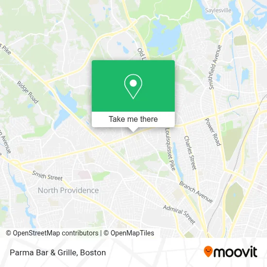
See Parma Bar & Grille, Boston, on the map
Public Transit to Parma Bar & Grille in Boston
Wondering how to get to Parma Bar & Grille in Boston? Moovit helps you find the best way to get to Parma Bar & Grille with step-by-step directions from the nearest public transit station.
Moovit provides free maps and live directions to help you navigate through your city. View schedules, routes, timetables, and find out how long does it take to get to Parma Bar & Grille in real time.
Looking for the nearest stop or station to Parma Bar & Grille? Check out this list of stops closest to your destination: Mineral Spring Before Terry; 1307 Douglas; Pawtucket/Central Falls.
Bus: 50, 58, 73.Train: FOXBORO EVENT SERVICE, PROVIDENCE/STOUGHTON.
Want to see if there’s another route that gets you there at an earlier time? Moovit helps you find alternative routes or times. Get directions from and directions to Parma Bar & Grille easily from the Moovit App or Website.
We make riding to Parma Bar & Grille easy, which is why over 1.7 million users, including users in Boston, trust Moovit as the best app for public transit. You don’t need to download an individual bus app or train app, Moovit is your all-in-one transit app that helps you find the best bus time or train time available.
For information on prices of bus and train, costs and ride fares to Parma Bar & Grille, please check the Moovit app.
Use the app to navigate to popular places including to the airport, hospital, stadium, grocery store, mall, coffee shop, school, college, and university.
Parma Bar & Grille Address: 1449 Mineral Spring Ave street in Boston
- Jacky's Galaxie & Sushi Bar (Jacky's Galaxie Restaurant),
- Grab and Go Mart,
- Astrology Readings,
- Gem Plaza,
- Whelan Pto,
- TACO BELL,
- Mineral Springs Spa,
- Trade Films Studios,
- Dixie's Hair Design,
- Shop in Ri,
- Elase Permanent Hair Removal,
- Desmelan Glam,
- Eat Korean BBQ & Shabu Shabu,
- Geneva Springs Contractors,
- Jacky's Reality III,
- Ebprinting3,
- Dear Nails Spa,
- Premier Nutrition,
- Aplus Tailors and Dry Cleaners,
- My Lucky Dog - North Providence
Places Near Parma Bar & Grille (Boston)
- Wang Theater, Boston,
- Isabella Stewart Gardner Museum, Boston,
- Td Garden, Boston,
- Faneuil Hall, Boston,
- Seaport District, Boston,
- Boston Medical Center, Boston,
- North End, Boston,
- Wilbur Theatre, Boston,
- Mgm Music Hall, Boston,
- Castle Island, Boston,
- Quincy Market, Boston,
- Boston Children's Hospital, Boston,
- House Of Blues, Boston,
- Prudential Center, Boston,
- Boston Common, Boston,
- Boston Convention & Exhibition Center, Boston,
- Leader Bank Pavilion (Leader Bank Pavillion), Boston,
- Massachusetts General Hospital, Boston,
- Cheers, Boston,
- Museum Of Science, Boston
How to get to popular places in Boston with public transit
Get around Boston by public transit!
Traveling around Boston has never been so easy. See step by step directions as you travel to any attraction, street or major public transit station. View bus and train schedules, arrival times, service alerts and detailed routes on a map, so you know exactly how to get to anywhere in Boston.
When traveling to any destination around Boston use Moovit's Live Directions with Get Off Notifications to know exactly where and how far to walk, how long to wait for your line, and how many stops are left. Moovit will alert you when it's time to get off — no need to constantly re-check whether yours is the next stop.
Wondering how to use public transit in Boston or how to pay for public transit in Boston? Moovit public transit app can help you navigate your way with public transit easily, and at minimum cost. It includes public transit fees, ticket prices, and costs. Looking for a map of Boston public transit lines? Moovit public transit app shows all public transit maps in Boston with all Bus, Train, Subway and Ferry routes and stops on an interactive map.
Boston has 4 transit type(s), including: Bus, Train, Subway and Ferry, operated by several transit agencies, including MBTA, Southeastern Regional Transit Authority, MetroWest Regional Transit Authority, Rhode Island Public Transit Authority, WRTA, Lowell Regional Transit Authority, Merrimack Valley Transit, Montachusett Regional Transit Authority, Cape Cod Regional Transit Authority, Brockton Area Transit Authority, Martha's Vineyard Transit Authority, the WAVE - Nantucket Regional Transit Authority, GATRA, Cape Ann Transportation Authority and Massport