How to get to Pascal Kerdranvat by bus?
Click on the bus route to see step by step directions with maps, line arrival times and updated time schedules.
From Route de Courbessac, Nîmes
42 minFrom Collège De Clarensac, Clarensac
68 minFrom Groupe Occitanie Ugecam Centre Médical l'Egrégore, Caveirac
49 minFrom 30980, Saint-Dionizy
90 minFrom Effia Stmt, Manduel
64 minFrom Ville de Manduel, Manduel
65 minFrom Purple Campus Marguerittes, Marguerittes
54 minFrom Saint-Dionisy, Saint-Dionizy
86 minFrom Collège Via Domitia, Manduel
68 min
Bus stops near Pascal Kerdranvat in Nimes
Bus lines to Pascal Kerdranvat in Nimes
- 7, Ville Active,VIEW
- 8, Pont De Justice,VIEW
- 16, Serre Cavalier,VIEW
- T1, CENTRE VILLE - PARKING RELAIS A54,VIEW
- T4, CAISSARGUES - A54 - PALOMA-LA GLACIERE,VIEW
- 42, SAINT GILLES - CAISSARGUES - NIMES,VIEW
- 43, GENERAC - NIMES,VIEW
- AERO, NAVETTE AEROPORT,VIEW
- 76, Gare Triaire,VIEW
- 219, Direct Saint - Gilles,VIEW
What are the closest stations to Pascal Kerdranvat?
The closest stations to Pascal Kerdranvat are:
- Ville Active is 46 meters away, 1 min walk.
- Costières - Parnasse is 517 meters away, 7 min walk.
- Costieres Parnasse is 530 meters away, 7 min walk.
- Parnasse is 575 meters away, 8 min walk.
Which bus lines stop near Pascal Kerdranvat?
These bus lines stop near Pascal Kerdranvat: 16, 7, T4.
What’s the nearest bus station to Pascal Kerdranvat in Nimes?
The nearest bus station to Pascal Kerdranvat in Nimes is Ville Active. It’s a 1 min walk away.
What time is the first bus to Pascal Kerdranvat in Nimes?
The T1 is the first bus that goes to Pascal Kerdranvat in Nimes. It stops nearby at 5:23 AM.
What time is the last bus to Pascal Kerdranvat in Nimes?
The T1 is the last bus that goes to Pascal Kerdranvat in Nimes. It stops nearby at 1:11 AM.
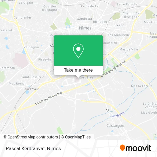
See Pascal Kerdranvat, Nimes, on the map
Public Transit to Pascal Kerdranvat in Nimes
Wondering how to get to Pascal Kerdranvat in Nimes? Moovit helps you find the best way to get to Pascal Kerdranvat with step-by-step directions from the nearest public transit station.
Moovit provides free maps and live directions to help you navigate through your city. View schedules, routes, timetables, and find out how long does it take to get to Pascal Kerdranvat in real time.
Looking for the nearest stop or station to Pascal Kerdranvat? Check out this list of stops closest to your destination: Ville Active; Costières - Parnasse; Costieres Parnasse; Parnasse.
Bus: 16, 7, T4, 8, T1, 42, 43, AERO, 76, 219.
Want to see if there’s another route that gets you there at an earlier time? Moovit helps you find alternative routes or times. Get directions from and directions to Pascal Kerdranvat easily from the Moovit App or Website.
We make riding to Pascal Kerdranvat easy, which is why over 1.5 million users, including users in Nimes, trust Moovit as the best app for public transit. You don’t need to download an individual bus app or train app, Moovit is your all-in-one transit app that helps you find the best bus time or train time available.
For information on prices of bus, costs and ride fares to Pascal Kerdranvat, please check the Moovit app.
Use the app to navigate to popular places including to the airport, hospital, stadium, grocery store, mall, coffee shop, school, college, and university.
Pascal Kerdranvat Address: Avenue de Saint-André de Codols 30900 Nîmes street in Nimes
- Immed,
- Avenue Saint-André de Codols 300,
- Marty Anne-Laure,
- Medisud,
- Centre Nautique Nemausa,
- Lidolff Sophie,
- Sandrine Gil Galan de Mijolla,
- Daudet Jacques,
- Polyclinique du Grand Sud Imagerie Médicale,
- Immeuble Odyssée,
- Clinique Vétérinaire Nemovet,
- Polyclinique du Grand Sud-Urgences,
- Ehpad Résidence La Camargue Orpea,
- Rue Jean Baptiste Chiariny,
- Allée Djebaili Salah 25,
- Claude Service,
- Billard Club Nîmois Bcn,
- Les Allobroges Nîmois,
- Point Midi Batteries,
- Rue Aimé Grumbach 115
Places Near Pascal Kerdranvat (Nimes)
- Centre hospitalier Caremeau,
- Clinique Franciscaine,
- La Galerie - Cap Costières,
- Le Parnasse, Nîmes,
- Kinepolis,
- Jardins de la Fontaine,
- VILLE ACTIVE, Nîmes,
- Hôpital Privé Les Franciscaines,
- Geant Casino,
- Parc Kennedy,
- CHU de Nîmes - Hôpital universitaire Carémeau,
- Les 7 Collines,
- Rue Gilles Roberval 285,
- Rond-Point Kilomètre Delta, Nîmes,
- Carrefour Nîmes Sud,
- E.Leclerc,
- École Nationale De Police,
- Polyclinique Du Grand Sud,
- Saint-Césaire,
- Aire De Covoiturage Nîmes Ouest
How to get to popular places in Nimes with public transit
Get around Nimes by public transit!
Traveling around Nimes has never been so easy. See step by step directions as you travel to any attraction, street or major public transit station. View bus and train schedules, arrival times, service alerts and detailed routes on a map, so you know exactly how to get to anywhere in Nimes.
When traveling to any destination around Nimes use Moovit's Live Directions with Get Off Notifications to know exactly where and how far to walk, how long to wait for your line, and how many stops are left. Moovit will alert you when it's time to get off — no need to constantly re-check whether yours is the next stop.
Wondering how to use public transit in Nimes or how to pay for public transit in Nimes? Moovit public transit app can help you navigate your way with public transit easily, and at minimum cost. It includes public transit fees, ticket prices, and costs. Looking for a map of Nimes public transit lines? Moovit public transit app shows all public transit maps in Nimes with all bus routes and stops on an interactive map.
Nimes has 1 transit type(s), including: bus, operated by several transit agencies, including TANGO