How to get to Passport Inn by bus?
Click on the bus route to see step by step directions with maps, line arrival times and updated time schedules.
Bus stops near Passport Inn in Methuen Town
Bus lines to Passport Inn in Methuen Town
What are the closest stations to Passport Inn?
The closest stations to Passport Inn are:
- Branch Street - Dana-Farber Cancer Institute is 1321 yards away, 16 min walk.
- Lowell Street & Newhill Road is 1375 yards away, 17 min walk.
Which bus line stops near Passport Inn?
24 (Robert B. Kennedy Transfer Center)
What time is the first bus to Passport Inn in Methuen Town?
The 24 is the first bus that goes to Passport Inn in Methuen Town. It stops nearby at 5:22 AM.
What time is the last bus to Passport Inn in Methuen Town?
The 24 is the last bus that goes to Passport Inn in Methuen Town. It stops nearby at 9:22 PM.
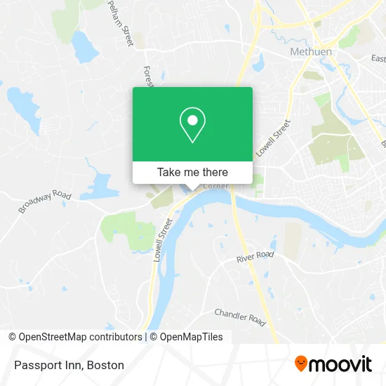
See Passport Inn, Methuen Town, on the map
Public Transit to Passport Inn in Methuen Town
Wondering how to get to Passport Inn in Methuen Town? Moovit helps you find the best way to get to Passport Inn with step-by-step directions from the nearest public transit station.
Moovit provides free maps and live directions to help you navigate through your city. View schedules, routes, timetables, and find out how long does it take to get to Passport Inn in real time.
Looking for the nearest stop or station to Passport Inn? Check out this list of stops closest to your destination: Branch Street - Dana-Farber Cancer Institute; Lowell Street & Newhill Road.
Bus: 24, 5, 25.
Want to see if there’s another route that gets you there at an earlier time? Moovit helps you find alternative routes or times. Get directions from and directions to Passport Inn easily from the Moovit App or Website.
We make riding to Passport Inn easy, which is why over 1.7 million users, including users in Methuen Town, trust Moovit as the best app for public transit. You don’t need to download an individual bus app or train app, Moovit is your all-in-one transit app that helps you find the best bus time or train time available.
For information on prices of bus, costs and ride fares to Passport Inn, please check the Moovit app.
Use the app to navigate to popular places including to the airport, hospital, stadium, grocery store, mall, coffee shop, school, college, and university.
Passport Inn Address: 487 Lowell St street in Methuen Town
- Passport Inn Methuen,
- Tavern on the River,
- Elmwood Cemetery,
- ISO-Med Manufacturingo-Med Manufacturing,
- Royal House of Roast Beef,
- Cushing's Corner,
- Brooks Properties,
- Dr Kevin Zegel,
- Methuen Mobile Locksmith Store,
- Electrolysis by Melissa,
- Brows Therapy,
- Dana Farber Cancer Institute,
- Ian B Glick DMD,
- Nehidta,
- US Department of Labor,
- Charter School Solutions Crest,
- Methuen Early Childhood Center,
- Jeffrey Gerardi,
- I93 Merrimack Bridge,
- Fitness Center
Places Near Passport Inn (Methuen Town)
- Massachusetts General Hospital, Boston,
- Boston Children's Hospital, Boston,
- Mgm Music Hall, Boston,
- Isabella Stewart Gardner Museum, Boston,
- Boston Common, Boston,
- Castle Island, Boston,
- Leader Bank Pavilion (Leader Bank Pavillion), Boston,
- Wilbur Theatre, Boston,
- Seaport District, Boston,
- Quincy Market, Boston,
- Boston Convention & Exhibition Center, Boston,
- House Of Blues, Boston,
- Td Garden, Boston,
- Prudential Center, Boston,
- Museum Of Science, Boston,
- Boston Medical Center, Boston,
- Wang Theater, Boston,
- Cheers, Boston,
- Faneuil Hall, Boston,
- North End, Boston
How to get to popular places in Boston with public transit
Get around Methuen Town by public transit!
Traveling around Methuen Town has never been so easy. See step by step directions as you travel to any attraction, street or major public transit station. View bus and train schedules, arrival times, service alerts and detailed routes on a map, so you know exactly how to get to anywhere in Methuen Town.
When traveling to any destination around Methuen Town use Moovit's Live Directions with Get Off Notifications to know exactly where and how far to walk, how long to wait for your line, and how many stops are left. Moovit will alert you when it's time to get off — no need to constantly re-check whether yours is the next stop.
Wondering how to use public transit in Methuen Town or how to pay for public transit in Methuen Town? Moovit public transit app can help you navigate your way with public transit easily, and at minimum cost. It includes public transit fees, ticket prices, and costs. Looking for a map of Methuen Town public transit lines? Moovit public transit app shows all public transit maps in Methuen Town with all Bus, Train, Subway and Ferry routes and stops on an interactive map.
Boston has 4 transit type(s), including: Bus, Train, Subway and Ferry, operated by several transit agencies, including MBTA, Southeastern Regional Transit Authority, MetroWest Regional Transit Authority, Rhode Island Public Transit Authority, WRTA, Lowell Regional Transit Authority, Merrimack Valley Transit, Montachusett Regional Transit Authority, Cape Cod Regional Transit Authority, Brockton Area Transit Authority, Martha's Vineyard Transit Authority, the WAVE - Nantucket Regional Transit Authority, GATRA, Cape Ann Transportation Authority and Massport