How to get to Patas Dadas by bus?
Click on the bus route to see step by step directions with maps, line arrival times and updated time schedules.
From Rio Design Barra (Shopping Rio Design), Barra Da Tijuca
52 minFrom Feira de Acari, Acari
50 minFrom Hospital Estadual Carlos Chagas, Marechal Hermes
39 minFrom Hospital Maternidade Alexander Fleming, Marechal Hermes
46 minFrom Shopping Cittá América, Barra Da Tijuca
58 minFrom Jacaré, Jacaré
67 minFrom BRT Riocentro, Barra Da Tijuca
35 minFrom Barra da Tijuca, Barra Da Tijuca
42 minFrom Rua Evandro Lins e Silva, 840, Barra Da Tijuca
43 minFrom Lar de Frei Luiz, Taquara
37 min
Bus stops near Patas Dadas in Tanque
Funicular station near Patas Dadas in Tanque
- José Roiz De Aragão, 46 min walk,VIEW
What are the closest stations to Patas Dadas?
The closest stations to Patas Dadas are:
- Estrada Da Covanca, 898 is 33 meters away, 1 min walk.
- Rua Coronel Tedim, 704 is 2234 meters away, 29 min walk.
- José Roiz De Aragão is 3553 meters away, 46 min walk.
Which bus lines stop near Patas Dadas?
These bus lines stop near Patas Dadas: 40, 41, 636, 859.
What’s the nearest bus station to Patas Dadas in Tanque?
The nearest bus station to Patas Dadas in Tanque is Estrada Da Covanca, 898. It’s a 1 min walk away.
What time is the first bus to Patas Dadas in Tanque?
The 859 is the first bus that goes to Patas Dadas in Tanque. It stops nearby at 4:50 AM.
What time is the last bus to Patas Dadas in Tanque?
The 859 is the last bus that goes to Patas Dadas in Tanque. It stops nearby at 10:44 PM.
What time is the first funicular to Patas Dadas in Tanque?
The IGREJA DA PENNA is the first funicular that goes to Patas Dadas in Tanque. It stops nearby at 8:00 AM.
What time is the last funicular to Patas Dadas in Tanque?
The IGREJA DA PENNA is the last funicular that goes to Patas Dadas in Tanque. It stops nearby at 5:00 PM.
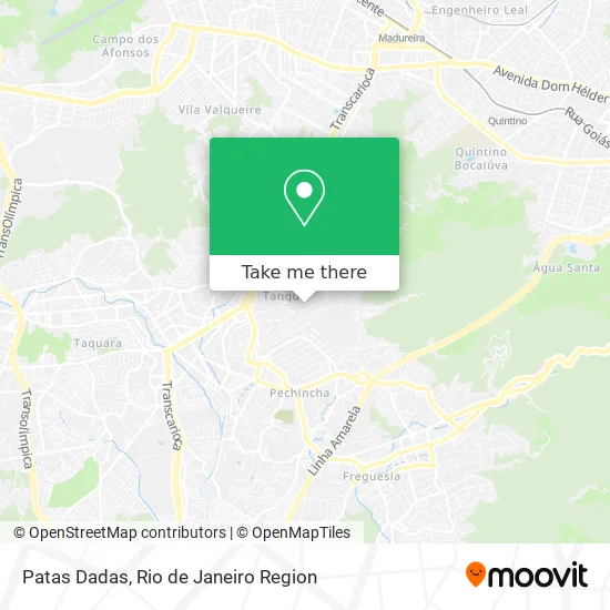
See Patas Dadas, Tanque, on the map
Public Transit to Patas Dadas in Tanque
Wondering how to get to Patas Dadas in Tanque? Moovit helps you find the best way to get to Patas Dadas with step-by-step directions from the nearest public transit station.
Moovit provides free maps and live directions to help you navigate through your city. View schedules, routes, timetables, and find out how long does it take to get to Patas Dadas in real time.
Looking for the nearest stop or station to Patas Dadas? Check out this list of stops closest to your destination: Estrada Da Covanca; Rua Coronel Tedim; José Roiz De Aragão.
Bus: 40, 41, 636, 859, 987.Funicular: IGREJA DA PENNA.
Want to see if there’s another route that gets you there at an earlier time? Moovit helps you find alternative routes or times. Get directions from and directions to Patas Dadas easily from the Moovit App or Website.
We make riding to Patas Dadas easy, which is why over 1.5 million users, including users in Tanque, trust Moovit as the best app for public transit. You don’t need to download an individual bus app or train app, Moovit is your all-in-one transit app that helps you find the best bus time or train time available.
For information on prices of bus and train, costs and ride fares to Patas Dadas, please check the Moovit app.
Use the app to navigate to popular places including to the airport, hospital, stadium, grocery store, mall, coffee shop, school, college, and university.
Patas Dadas Address: Estrada da Covanca, 850 Tanque Rio de Janeiro-RJ 22735-020 street in Tanque
- Paulo Chaveiro,
- Associacao dos Moradores e Amigos da Covanca,
- Estrada da Covanca 850,
- Rua Cem,
- Barbearia do Joelson & Dede,
- Rua Virgínia Vidal, 313,
- Bar do Zezinho da Covanca,
- Rua Silva Lima 40,
- Estrada da Covanca 615,
- Sebo Carioquinha,
- Rafaely de Oliveira Nascimento,
- Centro Espirita Pai Francisco de Angola e Cabocla Jurema,
- P7 Drinks,
- Reboque Machados,
- Rua Projetada C,
- Cao Feliz,
- Bar do Pedrinho,
- Estrada da Covanca 1256,
- Rua B / Ladeira Valdemar,
- Rua Tapera 123
Places Near Patas Dadas (Tanque)
- Shopping Downtown, Barra Da Tijuca,
- Shopping Nova América, Del Castilho,
- Shopping Rio Sul, Botafogo,
- Niterói, Niterói,
- Feira Livre da Gloria, Glória,
- Norte Shopping, Cachambi,
- Rua Ulysses Guimarães 16, Cidade Nova,
- Hospital Pedro Ernesto, Vila Isabel,
- Avenida Venezuela 134, Saúde,
- Rodoviária Novo Rio (Rodoviária do Rio de Janeiro), Santo Cristo,
- Feirão De Malhas, Duque De Caxias,
- Praia do Arpoador, Ipanema,
- Hospital Federal Cardoso Fontes, Jacarepaguá,
- Museu Do Amanhã, Centro,
- Avenida Rio Branco, Centro,
- Hospital Federal Do Andaraí, Andaraí,
- Shopping RioSul, Botafogo,
- Rua Licínio Cardoso, São Francisco Xavier,
- Rio De Janeiro,
- Hospital Municipal Ronaldo Gazolla, Acari
How to get to popular places in Rio de Janeiro Region with public transit
Get around Tanque by public transit!
Traveling around Tanque has never been so easy. See step by step directions as you travel to any attraction, street or major public transit station. View bus and train schedules, arrival times, service alerts and detailed routes on a map, so you know exactly how to get to anywhere in Tanque.
When traveling to any destination around Tanque use Moovit's Live Directions with Get Off Notifications to know exactly where and how far to walk, how long to wait for your line, and how many stops are left. Moovit will alert you when it's time to get off — no need to constantly re-check whether yours is the next stop.
Wondering how to use public transit in Tanque or how to pay for public transit in Tanque? Moovit public transit app can help you navigate your way with public transit easily, and at minimum cost. It includes public transit fees, ticket prices, and costs. Looking for a map of Tanque public transit lines? Moovit public transit app shows all public transit maps in Tanque with all Bus, Train, Metro, Light Rail, Ferry, Cable Car, Gondola and Funicular routes and stops on an interactive map.
Rio de Janeiro Region has 8 transit type(s), including: Bus, Train, Metro, Light Rail, Ferry, Cable Car, Gondola and Funicular, operated by several transit agencies, including TrensRJ, Metrô Rio, VLT Carioca, Barcas Rio, BRT MOBI-Rio, Auto Viação Alpha, Auto Viação Tijuca, Gire Transportes, Transurb, Viação Nossa Senhora das Graças, Consórcio INTERSUL, Braso Lisboa (Municipal), Caprichosa Auto Ônibus, Auto Viação Três Amigos and Rodoviária Âncora Matias