How to get to Pedranny Projetos by bus?
Click on the bus route to see step by step directions with maps, line arrival times and updated time schedules.
From Praia de Mauá, Magé
80 minFrom Morro do Garibaldi, Duque De Caxias
84 minFrom Xerém, Duque De Caxias
66 minFrom Caxias x Magé, Duque De Caxias
49 minFrom Sítio H20, Duque De Caxias
90 minFrom Refinaria Duque de Caxias (REDUC), Duque De Caxias
50 minFrom Feirão De Malhas, Duque De Caxias
49 minFrom Rodovia Washington Luís, Duque De Caxias
67 minFrom Bairro Amapá, Duque de Caxias, Duque De Caxias
90 minFrom Campos Elíseos, Duque De Caxias
55 min
How to get to Pedranny Projetos by train?
Click on the train route to see step by step directions with maps, line arrival times and updated time schedules.
Bus stops near Pedranny Projetos in Duque De Caxias
Train station near Pedranny Projetos in Duque De Caxias
- Morabi, 42 min walk,VIEW
Bus lines to Pedranny Projetos in Duque De Caxias
What are the closest stations to Pedranny Projetos?
The closest stations to Pedranny Projetos are:
- Avenida A, 6 is 432 meters away, 6 min walk.
- Rua G, 817-887 is 560 meters away, 8 min walk.
- Morabi is 3252 meters away, 42 min walk.
Which bus lines stop near Pedranny Projetos?
These bus lines stop near Pedranny Projetos: 026, 513, 571C, 765I.
Which train line stops near Pedranny Projetos?
EXTENSÃO VILA INHOMIRIM (Vila Inhomirim)
What’s the nearest bus station to Pedranny Projetos in Duque De Caxias?
The nearest bus station to Pedranny Projetos in Duque De Caxias is Avenida A, 6. It’s a 6 min walk away.
What time is the first train to Pedranny Projetos in Duque De Caxias?
The EXTENSÃO VILA INHOMIRIM is the first train that goes to Pedranny Projetos in Duque De Caxias. It stops nearby at 5:18 AM.
What time is the last train to Pedranny Projetos in Duque De Caxias?
The EXTENSÃO VILA INHOMIRIM is the last train that goes to Pedranny Projetos in Duque De Caxias. It stops nearby at 10:15 PM.
What time is the first bus to Pedranny Projetos in Duque De Caxias?
The 571C is the first bus that goes to Pedranny Projetos in Duque De Caxias. It stops nearby at 4:00 AM.
What time is the last bus to Pedranny Projetos in Duque De Caxias?
The 513 is the last bus that goes to Pedranny Projetos in Duque De Caxias. It stops nearby at 1:02 AM.
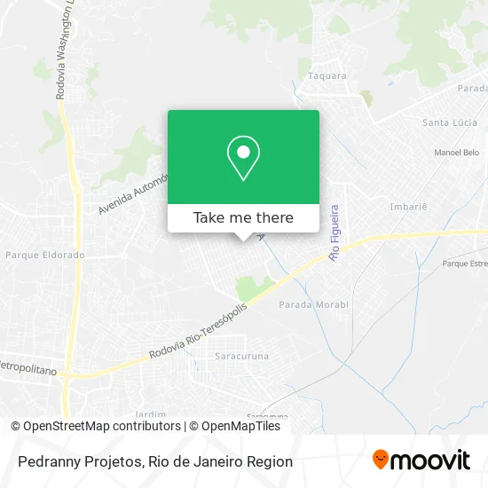
See Pedranny Projetos, Duque De Caxias, on the map
Public Transit to Pedranny Projetos in Duque De Caxias
Wondering how to get to Pedranny Projetos in Duque De Caxias? Moovit helps you find the best way to get to Pedranny Projetos with step-by-step directions from the nearest public transit station.
Moovit provides free maps and live directions to help you navigate through your city. View schedules, routes, timetables, and find out how long does it take to get to Pedranny Projetos in real time.
Looking for the nearest stop or station to Pedranny Projetos? Check out this list of stops closest to your destination: Avenida A; Rua G; Morabi.
Bus: 026, 513, 571C, 765I, 023, 413, 46.Train: EXTENSÃO VILA INHOMIRIM.
Want to see if there’s another route that gets you there at an earlier time? Moovit helps you find alternative routes or times. Get directions from and directions to Pedranny Projetos easily from the Moovit App or Website.
We make riding to Pedranny Projetos easy, which is why over 1.5 million users, including users in Duque De Caxias, trust Moovit as the best app for public transit. You don’t need to download an individual bus app or train app, Moovit is your all-in-one transit app that helps you find the best bus time or train time available.
For information on prices of bus and train, costs and ride fares to Pedranny Projetos, please check the Moovit app.
Use the app to navigate to popular places including to the airport, hospital, stadium, grocery store, mall, coffee shop, school, college, and university.
Pedranny Projetos Address: Rua Nove, 24 Cidade Parque Paulista Duque de Caxias-RJ 25270-270 street in Duque De Caxias
- Kaká Atlantis,
- Altas Horas Cvn,
- Fundec Parque Paulista,
- Allan Brito Cavalcante,
- Jhonatamoreirasan,
- Nova Vida Santa Lúcia,
- Inv Santa Lucia,
- Creche Escola Semeando Saber,
- Deposito de Bebidas 40 Graus,
- Andrerangel,
- Academia Matinata,
- Walter Car,
- Rufino,
- Ipc Portas e Portoes Automáticos,
- Andrebarbosadelim,
- Educandário Santo Antônio,
- Igreja Pentecostal Profetica Novo Tempo,
- Manu Agua Mineral,
- Nova Campinas,
- Coop Transcampinas - Cooperativa de Motoristas do Trans
Places Near Pedranny Projetos (Duque De Caxias)
- Rodoviária Novo Rio (Rodoviária do Rio de Janeiro), Santo Cristo,
- Norte Shopping, Cachambi,
- Feira Livre da Gloria, Glória,
- Shopping Nova América, Del Castilho,
- Hospital Pedro Ernesto, Vila Isabel,
- Niterói, Niterói,
- Hospital Federal Do Andaraí, Andaraí,
- Shopping RioSul, Botafogo,
- Praia do Arpoador, Ipanema,
- Rua Licínio Cardoso, São Francisco Xavier,
- Hospital Municipal Ronaldo Gazolla, Acari,
- Avenida Venezuela 134, Saúde,
- Shopping Rio Sul, Botafogo,
- Shopping Downtown, Barra Da Tijuca,
- Rua Ulysses Guimarães 16, Cidade Nova,
- Avenida Rio Branco, Centro,
- Rio De Janeiro,
- Hospital Federal Cardoso Fontes, Jacarepaguá,
- Feirão De Malhas, Duque De Caxias,
- Museu Do Amanhã, Centro
How to get to popular places in Rio de Janeiro Region with public transit
Get around Duque De Caxias by public transit!
Traveling around Duque De Caxias has never been so easy. See step by step directions as you travel to any attraction, street or major public transit station. View bus and train schedules, arrival times, service alerts and detailed routes on a map, so you know exactly how to get to anywhere in Duque De Caxias.
When traveling to any destination around Duque De Caxias use Moovit's Live Directions with Get Off Notifications to know exactly where and how far to walk, how long to wait for your line, and how many stops are left. Moovit will alert you when it's time to get off — no need to constantly re-check whether yours is the next stop.
Wondering how to use public transit in Duque De Caxias or how to pay for public transit in Duque De Caxias? Moovit public transit app can help you navigate your way with public transit easily, and at minimum cost. It includes public transit fees, ticket prices, and costs. Looking for a map of Duque De Caxias public transit lines? Moovit public transit app shows all public transit maps in Duque De Caxias with all Bus, Train, Metro, Light Rail, Ferry, Cable Car, Gondola and Funicular routes and stops on an interactive map.
Rio de Janeiro Region has 8 transit type(s), including: Bus, Train, Metro, Light Rail, Ferry, Cable Car, Gondola and Funicular, operated by several transit agencies, including TrensRJ, Metrô Rio, VLT Carioca, Barcas Rio, BRT MOBI-Rio, Auto Viação Alpha, Auto Viação Tijuca, Gire Transportes, Transurb, Viação Nossa Senhora das Graças, Consórcio INTERSUL, Braso Lisboa (Municipal), Caprichosa Auto Ônibus, Auto Viação Três Amigos and Rodoviária Âncora Matias