Directions to Pellion Technologies (Cambridge) with public transportation
The following transit lines have routes that pass near Pellion Technologies
 Bus: 71, 73, 75.
- Train: FITCHBURG, FRAMINGHAM/WORCESTER.
- Subway: RED LINE, GREEN LINE B.
How to get to Pellion Technologies by bus?
Click on the bus route to see step by step directions with maps, line arrival times and updated time schedules.
From Embassy Suites by Hilton Boston Waltham, Waltham
74 minFrom Guitar Center, Boston
47 minFrom Malden Catholic High School, Malden
79 minFrom Mapparium, Boston
42 minFrom Boston Black Falcon Cruise Terminal, Boston
72 minFrom I-95 / Route 128 & Route 16 Interchange (Exit 21), Newton
77 minFrom Canopy-Boston, Boston
62 minFrom Mandarin Oriental, Boston, Boston
44 minFrom John Joseph Moakley Us Courthouse, Boston
68 minFrom Hyatt Regency-Boston Harbor (Hyatt Harborside At Boston's Logan International Airport Hotel Boston), Boston
80 min
How to get to Pellion Technologies by train?
Click on the train route to see step by step directions with maps, line arrival times and updated time schedules.
How to get to Pellion Technologies by subway?
Click on the subway route to see step by step directions with maps, line arrival times and updated time schedules.
From Guitar Center, Boston
72 minFrom Mapparium, Boston
63 minFrom I-95 / Route 128 & Route 16 Interchange (Exit 21), Newton
105 minFrom Hyatt Regency-Boston Harbor (Hyatt Harborside At Boston's Logan International Airport Hotel Boston), Boston
85 minFrom Canopy-Boston, Boston
56 minFrom Mandarin Oriental, Boston, Boston
59 minFrom John Joseph Moakley Us Courthouse, Boston
60 min
Bus stops near Pellion Technologies in Cambridge
Subway stations near Pellion Technologies in Cambridge
Train station near Pellion Technologies in Cambridge
- Porter, 41 min walk,VIEW
Bus lines to Pellion Technologies in Cambridge
What are the closest stations to Pellion Technologies?
The closest stations to Pellion Technologies are:
- Mt Auburn St @ Cottage St is 222 yards away, 3 min walk.
- Mt Auburn St @ Brattle St is 389 yards away, 6 min walk.
- Aberdeen Ave @ Huron Ave is 414 yards away, 6 min walk.
- Alewife is 2006 yards away, 24 min walk.
- Porter is 3463 yards away, 41 min walk.
- Warren Street is 4461 yards away, 53 min walk.
Which bus lines stop near Pellion Technologies?
These bus lines stop near Pellion Technologies: 71, 73.
Which train lines stop near Pellion Technologies?
These train lines stop near Pellion Technologies: FITCHBURG, FRAMINGHAM/WORCESTER.
Which subway line stops near Pellion Technologies?
RED LINE (Alewife)
What’s the nearest subway station to Pellion Technologies in Cambridge?
The nearest subway station to Pellion Technologies in Cambridge is Alewife. It’s a 24 min walk away.
What’s the nearest bus station to Pellion Technologies in Cambridge?
The nearest bus station to Pellion Technologies in Cambridge is Mt Auburn St @ Cottage St. It’s a 3 min walk away.
What time is the first subway to Pellion Technologies in Cambridge?
The GREEN LINE B is the first subway that goes to Pellion Technologies in Cambridge. It stops nearby at 5:12 AM.
What time is the last subway to Pellion Technologies in Cambridge?
The GREEN LINE B is the last subway that goes to Pellion Technologies in Cambridge. It stops nearby at 2:28 AM.
What time is the first train to Pellion Technologies in Cambridge?
The FITCHBURG is the first train that goes to Pellion Technologies in Cambridge. It stops nearby at 5:47 AM.
What time is the last train to Pellion Technologies in Cambridge?
The FITCHBURG is the last train that goes to Pellion Technologies in Cambridge. It stops nearby at 12:17 AM.
What time is the first bus to Pellion Technologies in Cambridge?
The 73 is the first bus that goes to Pellion Technologies in Cambridge. It stops nearby at 4:51 AM.
What time is the last bus to Pellion Technologies in Cambridge?
The 71 is the last bus that goes to Pellion Technologies in Cambridge. It stops nearby at 1:17 AM.
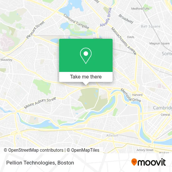
See Pellion Technologies, Cambridge, on the map
Public Transit to Pellion Technologies in Cambridge
Wondering how to get to Pellion Technologies in Cambridge? Moovit helps you find the best way to get to Pellion Technologies with step-by-step directions from the nearest public transit station.
Moovit provides free maps and live directions to help you navigate through your city. View schedules, routes, timetables, and find out how long does it take to get to Pellion Technologies in real time.
Looking for the nearest stop or station to Pellion Technologies? Check out this list of stops closest to your destination: Mt Auburn St @ Cottage St; Mt Auburn St @ Brattle St; Aberdeen Ave @ Huron Ave; Alewife; Porter; Warren Street.
Bus: 71, 73, 75.Train: FITCHBURG, FRAMINGHAM/WORCESTER.Subway: RED LINE, GREEN LINE B.
Want to see if there’s another route that gets you there at an earlier time? Moovit helps you find alternative routes or times. Get directions from and directions to Pellion Technologies easily from the Moovit App or Website.
We make riding to Pellion Technologies easy, which is why over 1.7 million users, including users in Cambridge, trust Moovit as the best app for public transit. You don’t need to download an individual bus app or train app, Moovit is your all-in-one transit app that helps you find the best bus time or train time available.
For information on prices of bus, subway and train, costs and ride fares to Pellion Technologies, please check the Moovit app.
Use the app to navigate to popular places including to the airport, hospital, stadium, grocery store, mall, coffee shop, school, college, and university.
Pellion Technologies Address: 625 Mount Auburn St Ste 6 street in Cambridge
- Beth Israel Lahey Health Primary Care - 625 Mount Auburn Street,
- Rachel Haft,
- Nancy Akbari, MD,
- Judith Fernando, MD, MPH,
- Julia R. Gefter, Psychologist,
- Dorothy Yep, Counselor,
- A Stampfer Kenneth MD,
- Forest Properties Management,
- Ben Francis, Counselor,
- Alyssa Rautenberg, Psychiatrist,
- Megan Magruder, Counselor,
- Amanda R Mahnke, Psyd, Edm,
- Jan Nelson, PMHNP-BC,
- Star Market #2565,
- Mt Auburn Memorials Inc,
- STARBUCKS,
- Coinstar - Bitcoin ATM,
- Mount Auburn,
- Star Market,
- Cambridge Family Dental
Places Near Pellion Technologies (Cambridge)
- Leader Bank Pavilion (Leader Bank Pavillion), Boston,
- Boston Medical Center, Boston,
- Wilbur Theatre, Boston,
- Prudential Center, Boston,
- House Of Blues, Boston,
- Boston Common, Boston,
- Quincy Market, Boston,
- Isabella Stewart Gardner Museum, Boston,
- Boston Children's Hospital, Boston,
- Seaport District, Boston,
- Cheers, Boston,
- Mgm Music Hall, Boston,
- Faneuil Hall, Boston,
- Wang Theater, Boston,
- Castle Island, Boston,
- Massachusetts General Hospital, Boston,
- North End, Boston,
- Boston Convention & Exhibition Center, Boston,
- Museum Of Science, Boston,
- Td Garden, Boston
How to get to popular places in Boston with public transit
Get around Cambridge by public transit!
Traveling around Cambridge has never been so easy. See step by step directions as you travel to any attraction, street or major public transit station. View bus and train schedules, arrival times, service alerts and detailed routes on a map, so you know exactly how to get to anywhere in Cambridge.
When traveling to any destination around Cambridge use Moovit's Live Directions with Get Off Notifications to know exactly where and how far to walk, how long to wait for your line, and how many stops are left. Moovit will alert you when it's time to get off — no need to constantly re-check whether yours is the next stop.
Wondering how to use public transit in Cambridge or how to pay for public transit in Cambridge? Moovit public transit app can help you navigate your way with public transit easily, and at minimum cost. It includes public transit fees, ticket prices, and costs. Looking for a map of Cambridge public transit lines? Moovit public transit app shows all public transit maps in Cambridge with all Bus, Train, Subway and Ferry routes and stops on an interactive map.
Boston has 4 transit type(s), including: Bus, Train, Subway and Ferry, operated by several transit agencies, including MBTA, Southeastern Regional Transit Authority, MetroWest Regional Transit Authority, Rhode Island Public Transit Authority, WRTA, Lowell Regional Transit Authority, Merrimack Valley Transit, Montachusett Regional Transit Authority, Cape Cod Regional Transit Authority, Brockton Area Transit Authority, Martha's Vineyard Transit Authority, the WAVE - Nantucket Regional Transit Authority, GATRA, Cape Ann Transportation Authority and Massport