Directions to Petez Pop (Boston) with public transportation
The following transit lines have routes that pass near Petez Pop
 Bus: 35, 80.
- Train: PROVIDENCE/STOUGHTON, FOXBORO EVENT SERVICE.
How to get to Petez Pop by bus?
Click on the bus route to see step by step directions with maps, line arrival times and updated time schedules.
How to get to Petez Pop by train?
Click on the train route to see step by step directions with maps, line arrival times and updated time schedules.
Bus stops near Petez Pop in Boston
Train station near Petez Pop in Boston
- Pawtucket/Central Falls, 17 min walk,VIEW
What are the closest stations to Petez Pop?
The closest stations to Petez Pop are:
- Armistice Before Perrin is 203 yards away, 3 min walk.
- Newport After Waterman is 492 yards away, 7 min walk.
- Pawtucket/Central Falls is 1375 yards away, 17 min walk.
Which bus lines stop near Petez Pop?
These bus lines stop near Petez Pop: 35, 80.
Which train line stops near Petez Pop?
PROVIDENCE/STOUGHTON (#828 | South Station)
What’s the nearest train station to Petez Pop in Boston?
The nearest train station to Petez Pop in Boston is Pawtucket/Central Falls. It’s a 17 min walk away.
What’s the nearest bus station to Petez Pop in Boston?
The nearest bus station to Petez Pop in Boston is Armistice Before Perrin. It’s a 3 min walk away.
What time is the first train to Petez Pop in Boston?
The PROVIDENCE/STOUGHTON is the first train that goes to Petez Pop in Boston. It stops nearby at 4:16 AM.
What time is the last train to Petez Pop in Boston?
The PROVIDENCE/STOUGHTON is the last train that goes to Petez Pop in Boston. It stops nearby at 12:56 AM.
What time is the first bus to Petez Pop in Boston?
The 35 is the first bus that goes to Petez Pop in Boston. It stops nearby at 5:34 AM.
What time is the last bus to Petez Pop in Boston?
The 35 is the last bus that goes to Petez Pop in Boston. It stops nearby at 8:29 PM.
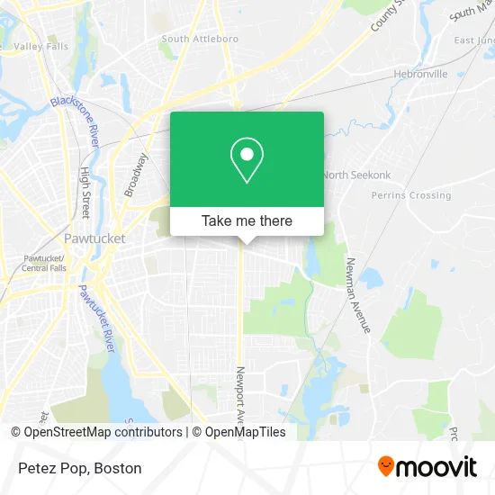
See Petez Pop, Boston, on the map
Public Transit to Petez Pop in Boston
Wondering how to get to Petez Pop in Boston? Moovit helps you find the best way to get to Petez Pop with step-by-step directions from the nearest public transit station.
Moovit provides free maps and live directions to help you navigate through your city. View schedules, routes, timetables, and find out how long does it take to get to Petez Pop in real time.
Looking for the nearest stop or station to Petez Pop? Check out this list of stops closest to your destination: Armistice Before Perrin; Newport After Waterman; Pawtucket/Central Falls.
Bus: 35, 80.Train: PROVIDENCE/STOUGHTON, FOXBORO EVENT SERVICE.
Want to see if there’s another route that gets you there at an earlier time? Moovit helps you find alternative routes or times. Get directions from and directions to Petez Pop easily from the Moovit App or Website.
We make riding to Petez Pop easy, which is why over 1.7 million users, including users in Boston, trust Moovit as the best app for public transit. You don’t need to download an individual bus app or train app, Moovit is your all-in-one transit app that helps you find the best bus time or train time available.
For information on prices of bus and train, costs and ride fares to Petez Pop, please check the Moovit app.
Use the app to navigate to popular places including to the airport, hospital, stadium, grocery store, mall, coffee shop, school, college, and university.
Petez Pop Address: 151 Benefit St street in Boston
- Jesse's Auto Solutions,
- Dexter 25,
- Decampos Construction,
- Hocus Pocus Cleaning & Home Services,
- Kelly Construction,
- Rapid Junk Removal,
- Flashy Lashes by Tina,
- Ezpz Painting,
- Elite Acoustical Ceilings,
- De Rosa Bros Plumbing and Heating,
- Ramirez Landscaping,
- Stainless Guy,
- Instant Royalty,
- Hot Locks Hair Studio,
- Brittany Alix,
- Shampooch Ri,
- DVD Extreme,
- The Bucket Nutrition,
- El Cafetal Cafe,
- A1 Mattress Furniture
Places Near Petez Pop (Boston)
- Td Garden, Boston,
- Boston Convention & Exhibition Center, Boston,
- Castle Island, Boston,
- Cheers, Boston,
- Wilbur Theatre, Boston,
- Boston Children's Hospital, Boston,
- Quincy Market, Boston,
- North End, Boston,
- Mgm Music Hall, Boston,
- Wang Theater, Boston,
- Prudential Center, Boston,
- Seaport District, Boston,
- Leader Bank Pavilion (Leader Bank Pavillion), Boston,
- Museum Of Science, Boston,
- Massachusetts General Hospital, Boston,
- Boston Common, Boston,
- House Of Blues, Boston,
- Isabella Stewart Gardner Museum, Boston,
- Faneuil Hall, Boston,
- Boston Medical Center, Boston
How to get to popular places in Boston with public transit
Get around Boston by public transit!
Traveling around Boston has never been so easy. See step by step directions as you travel to any attraction, street or major public transit station. View bus and train schedules, arrival times, service alerts and detailed routes on a map, so you know exactly how to get to anywhere in Boston.
When traveling to any destination around Boston use Moovit's Live Directions with Get Off Notifications to know exactly where and how far to walk, how long to wait for your line, and how many stops are left. Moovit will alert you when it's time to get off — no need to constantly re-check whether yours is the next stop.
Wondering how to use public transit in Boston or how to pay for public transit in Boston? Moovit public transit app can help you navigate your way with public transit easily, and at minimum cost. It includes public transit fees, ticket prices, and costs. Looking for a map of Boston public transit lines? Moovit public transit app shows all public transit maps in Boston with all Bus, Train, Subway and Ferry routes and stops on an interactive map.
Boston has 4 transit type(s), including: Bus, Train, Subway and Ferry, operated by several transit agencies, including MBTA, Southeastern Regional Transit Authority, MetroWest Regional Transit Authority, Rhode Island Public Transit Authority, WRTA, Lowell Regional Transit Authority, Merrimack Valley Transit, Montachusett Regional Transit Authority, Cape Cod Regional Transit Authority, Brockton Area Transit Authority, Martha's Vineyard Transit Authority, the WAVE - Nantucket Regional Transit Authority, GATRA, Cape Ann Transportation Authority and Massport