How to get to Petpace by bus?
Click on the bus route to see step by step directions with maps, line arrival times and updated time schedules.
From Chevalier Theatre (Chevalier Theater Show Line), Medford
53 minFrom McLean Hospital, Belmont
89 minFrom Arlington, MA, Arlington
33 minFrom Wakefield, MA, Wakefield
120 minFrom Medford Square, Medford
51 minFrom MIT Lincoln Laboratory, Lexington
70 minFrom Chevalier Theater, Medford
53 minFrom Takeda, Lexington
76 minFrom Stone Zoo, Stoneham
93 min
Bus stops near Petpace in Burlington
Bus lines to Petpace in Burlington
What are the closest stations to Petpace?
The closest stations to Petpace are:
- S Bedford St Opp Kimball Ave is 314 yards away, 4 min walk.
- Cambridge St @ Arlington Rd is 541 yards away, 7 min walk.
- Lahey Clinic is 1309 yards away, 17 min walk.
Which bus lines stop near Petpace?
These bus lines stop near Petpace: 14, 350, 354.
What’s the nearest bus station to Petpace in Burlington?
The nearest bus station to Petpace in Burlington is S Bedford St Opp Kimball Ave. It’s a 4 min walk away.
What time is the first bus to Petpace in Burlington?
The 354 is the first bus that goes to Petpace in Burlington. It stops nearby at 5:34 AM.
What time is the last bus to Petpace in Burlington?
The 350 is the last bus that goes to Petpace in Burlington. It stops nearby at 11:00 PM.
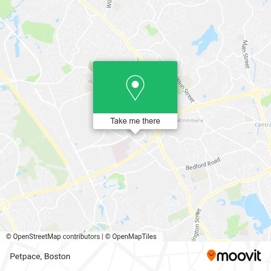
See Petpace, Burlington, on the map
Public Transit to Petpace in Burlington
Wondering how to get to Petpace in Burlington? Moovit helps you find the best way to get to Petpace with step-by-step directions from the nearest public transit station.
Moovit provides free maps and live directions to help you navigate through your city. View schedules, routes, timetables, and find out how long does it take to get to Petpace in real time.
Looking for the nearest stop or station to Petpace? Check out this list of stops closest to your destination: S Bedford St Opp Kimball Ave; Cambridge St @ Arlington Rd; Lahey Clinic.
Bus: 14, 350, 354.
Want to see if there’s another route that gets you there at an earlier time? Moovit helps you find alternative routes or times. Get directions from and directions to Petpace easily from the Moovit App or Website.
We make riding to Petpace easy, which is why over 1.7 million users, including users in Burlington, trust Moovit as the best app for public transit. You don’t need to download an individual bus app or train app, Moovit is your all-in-one transit app that helps you find the best bus time or train time available.
For information on prices of bus, subway and train, costs and ride fares to Petpace, please check the Moovit app.
Use the app to navigate to popular places including to the airport, hospital, stadium, grocery store, mall, coffee shop, school, college, and university.
Petpace Address: 25 Burlington Mall Rd street in Burlington
- Kormeli,
- Lahey Clinic Philanthropy Office,
- Custom Solutions,
- Issa Series,
- Large Architectural Firm,
- Wyle Laboratories,
- Online Safety Training and Compliance Solutions,
- National Safety Assoc Marketing,
- Northrop Grumman Commercial Information Services,
- Digital Court Reporting and Video,
- Merrill Lynch Wealth Management Advisor Jiles L Robinson,
- Patient Journey,
- US Air Force,
- Saba Software,
- Creative Drives and Patios and Masonry,
- Tax Services Accounting Services,
- Law Office of David E Peterson,
- Hanley and Associates LLC,
- Smile Direct Club,
- IV Hydromyn, LLC
Places Near Petpace (Burlington)
- Leader Bank Pavilion (Leader Bank Pavillion), Boston,
- North End, Boston,
- Boston Common, Boston,
- Isabella Stewart Gardner Museum, Boston,
- Boston Children's Hospital, Boston,
- Castle Island, Boston,
- Quincy Market, Boston,
- Cheers, Boston,
- Faneuil Hall, Boston,
- Mgm Music Hall, Boston,
- Wang Theater, Boston,
- House Of Blues, Boston,
- Td Garden, Boston,
- Boston Convention & Exhibition Center, Boston,
- Seaport District, Boston,
- Prudential Center, Boston,
- Wilbur Theatre, Boston,
- Boston Medical Center, Boston,
- Massachusetts General Hospital, Boston,
- Museum Of Science, Boston
How to get to popular places in Boston with public transit
Get around Burlington by public transit!
Traveling around Burlington has never been so easy. See step by step directions as you travel to any attraction, street or major public transit station. View bus and train schedules, arrival times, service alerts and detailed routes on a map, so you know exactly how to get to anywhere in Burlington.
When traveling to any destination around Burlington use Moovit's Live Directions with Get Off Notifications to know exactly where and how far to walk, how long to wait for your line, and how many stops are left. Moovit will alert you when it's time to get off — no need to constantly re-check whether yours is the next stop.
Wondering how to use public transit in Burlington or how to pay for public transit in Burlington? Moovit public transit app can help you navigate your way with public transit easily, and at minimum cost. It includes public transit fees, ticket prices, and costs. Looking for a map of Burlington public transit lines? Moovit public transit app shows all public transit maps in Burlington with all Bus, Train, Subway and Ferry routes and stops on an interactive map.
Boston has 4 transit type(s), including: Bus, Train, Subway and Ferry, operated by several transit agencies, including MBTA, Southeastern Regional Transit Authority, MetroWest Regional Transit Authority, Rhode Island Public Transit Authority, WRTA, Lowell Regional Transit Authority, Merrimack Valley Transit, Montachusett Regional Transit Authority, Cape Cod Regional Transit Authority, Brockton Area Transit Authority, Martha's Vineyard Transit Authority, the WAVE - Nantucket Regional Transit Authority, GATRA, Cape Ann Transportation Authority and Massport