Directions to Pgw Auto Glass (Boston) with public transportation
The following transit lines have routes that pass near Pgw Auto Glass
 Bus: 34E.
- Train: ACELA, FRANKLIN/FOXBORO, FOXBORO EVENT SERVICE, PROVIDENCE/STOUGHTON, NORTHEAST REGIONAL.
How to get to Pgw Auto Glass by bus?
Click on the bus route to see step by step directions with maps, line arrival times and updated time schedules.
From Academy Of the Pacific Rim Charter Public School, Boston
86 minFrom West Roxbury, Boston
56 minFrom Sheraton-Needham Hotel (Sheraton Boston Needham Hotel), Needham
139 minFrom Milton Academy, Milton
98 minFrom Georgetown, Massachusetts, Boston
79 minFrom SharkNinja Operating LLC, Needham
142 minFrom Hebrew Rehab Center, Boston
65 minFrom Spaulding Rehab, Boston
64 minFrom Roslindale, Boston
49 min
How to get to Pgw Auto Glass by train?
Click on the train route to see step by step directions with maps, line arrival times and updated time schedules.
Bus stop near Pgw Auto Glass in Boston
- Washington St Opp Marshall St, 1 min walk,VIEW
Train stations near Pgw Auto Glass in Boston
Bus lines to Pgw Auto Glass in Boston
- 34E, Forest Hills,VIEW
What are the closest stations to Pgw Auto Glass?
The closest stations to Pgw Auto Glass are:
- Washington St Opp Marshall St is 80 yards away, 1 min walk.
- Dedham Corporate Center is 1784 yards away, 21 min walk.
- Route 128 - Westwood is 5302 yards away, 62 min walk.
Which bus line stops near Pgw Auto Glass?
34E (Walpole Center Via Washington St)
Which train lines stop near Pgw Auto Glass?
These train lines stop near Pgw Auto Glass: ACELA, FRANKLIN/FOXBORO.
What’s the nearest train station to Pgw Auto Glass in Boston?
The nearest train station to Pgw Auto Glass in Boston is Dedham Corporate Center. It’s a 21 min walk away.
What’s the nearest bus station to Pgw Auto Glass in Boston?
The nearest bus station to Pgw Auto Glass in Boston is Washington St Opp Marshall St. It’s a 1 min walk away.
What time is the first train to Pgw Auto Glass in Boston?
The PROVIDENCE/STOUGHTON is the first train that goes to Pgw Auto Glass in Boston. It stops nearby at 4:39 AM.
What time is the last train to Pgw Auto Glass in Boston?
The NORTHEAST REGIONAL is the last train that goes to Pgw Auto Glass in Boston. It stops nearby at 9:42 AM.
What time is the first bus to Pgw Auto Glass in Boston?
The 34E is the first bus that goes to Pgw Auto Glass in Boston. It stops nearby at 5:06 AM.
What time is the last bus to Pgw Auto Glass in Boston?
The 34E is the last bus that goes to Pgw Auto Glass in Boston. It stops nearby at 1:14 AM.
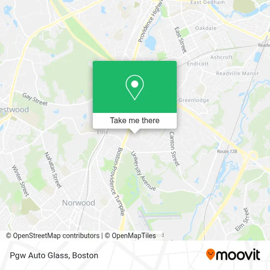
See Pgw Auto Glass, Boston, on the map
Public Transit to Pgw Auto Glass in Boston
Wondering how to get to Pgw Auto Glass in Boston? Moovit helps you find the best way to get to Pgw Auto Glass with step-by-step directions from the nearest public transit station.
Moovit provides free maps and live directions to help you navigate through your city. View schedules, routes, timetables, and find out how long does it take to get to Pgw Auto Glass in real time.
Looking for the nearest stop or station to Pgw Auto Glass? Check out this list of stops closest to your destination: Washington St Opp Marshall St; Dedham Corporate Center; Route 128 - Westwood.
Bus: 34E.Train: ACELA, FRANKLIN/FOXBORO, FOXBORO EVENT SERVICE, PROVIDENCE/STOUGHTON, NORTHEAST REGIONAL.
Want to see if there’s another route that gets you there at an earlier time? Moovit helps you find alternative routes or times. Get directions from and directions to Pgw Auto Glass easily from the Moovit App or Website.
We make riding to Pgw Auto Glass easy, which is why over 1.7 million users, including users in Boston, trust Moovit as the best app for public transit. You don’t need to download an individual bus app or train app, Moovit is your all-in-one transit app that helps you find the best bus time or train time available.
For information on prices of bus and train, costs and ride fares to Pgw Auto Glass, please check the Moovit app.
Use the app to navigate to popular places including to the airport, hospital, stadium, grocery store, mall, coffee shop, school, college, and university.
Pgw Auto Glass Address: 15 Perwal St street in Boston
- Prime Acura - Service Center,
- Blink Charging,
- The Home Depot,
- Home Depot,
- LENS CRAFTERS,
- AAA,
- Oakley,
- ChargePoint,
- Frugal Fannies Fashion Wearhouse,
- Frugal Fannie's Fashion Warehouse (Frugal Fannies Fashion Warehouse),
- Algonquin Gas Transmission,
- Frugal Fannie's,
- CTC Associates,
- Hmi,
- Dom Astro Tattoo,
- Booths Exhibits Kiosks Tradeshow Solutions Boston Ma NH Me Ri VT Ct,
- Herbal Spa,
- Dollarama,
- JFJ Customs,
- Trans-Lease Group
Places Near Pgw Auto Glass (Boston)
- Quincy Market, Boston,
- Castle Island, Boston,
- Boston Medical Center, Boston,
- Isabella Stewart Gardner Museum, Boston,
- Boston Common, Boston,
- Mgm Music Hall, Boston,
- Prudential Center, Boston,
- Boston Children's Hospital, Boston,
- House Of Blues, Boston,
- Wilbur Theatre, Boston,
- Wang Theater, Boston,
- Boston Convention & Exhibition Center, Boston,
- Leader Bank Pavilion (Leader Bank Pavillion), Boston,
- North End, Boston,
- Cheers, Boston,
- Massachusetts General Hospital, Boston,
- Faneuil Hall, Boston,
- Museum Of Science, Boston,
- Seaport District, Boston,
- Td Garden, Boston
How to get to popular places in Boston with public transit
Get around Boston by public transit!
Traveling around Boston has never been so easy. See step by step directions as you travel to any attraction, street or major public transit station. View bus and train schedules, arrival times, service alerts and detailed routes on a map, so you know exactly how to get to anywhere in Boston.
When traveling to any destination around Boston use Moovit's Live Directions with Get Off Notifications to know exactly where and how far to walk, how long to wait for your line, and how many stops are left. Moovit will alert you when it's time to get off — no need to constantly re-check whether yours is the next stop.
Wondering how to use public transit in Boston or how to pay for public transit in Boston? Moovit public transit app can help you navigate your way with public transit easily, and at minimum cost. It includes public transit fees, ticket prices, and costs. Looking for a map of Boston public transit lines? Moovit public transit app shows all public transit maps in Boston with all Bus, Train, Subway and Ferry routes and stops on an interactive map.
Boston has 4 transit type(s), including: Bus, Train, Subway and Ferry, operated by several transit agencies, including MBTA, Southeastern Regional Transit Authority, MetroWest Regional Transit Authority, Rhode Island Public Transit Authority, WRTA, Lowell Regional Transit Authority, Merrimack Valley Transit, Montachusett Regional Transit Authority, Cape Cod Regional Transit Authority, Brockton Area Transit Authority, Martha's Vineyard Transit Authority, the WAVE - Nantucket Regional Transit Authority, GATRA, Cape Ann Transportation Authority and Massport