Directions to Pink Pastry (Anne Arundel County) with public transportation
The following transit lines have routes that pass near Pink Pastry
 Bus: 921, FREE ANNAPOLIS DOWNTOWN SHUTTLE, GREEN, PURPLE, 220.
How to get to Pink Pastry by bus?
Click on the bus route to see step by step directions with maps, line arrival times and updated time schedules.
From Bowie Town Center, Prince George's County
94 minFrom Bowie, MD, Prince George's County
85 minFrom Brazzers, Prince George's County
111 minFrom Pasadena, Maryland, Anne Arundel County
57 minFrom Glen Burnie, MD, Anne Arundel County
81 minFrom Anne Arundel Community College, Anne Arundel County
37 minFrom Archbishop Spalding High School, Severn
114 min
Bus stops near Pink Pastry in Anne Arundel County
Bus lines to Pink Pastry in Anne Arundel County
What are the closest stations to Pink Pastry?
The closest stations to Pink Pastry are:
- West St & Russell St Eb is 16 yards away, 1 min walk.
- West St. And Russell St. is 17 yards away, 1 min walk.
- West St. And Amos Garrett Blvd. is 93 yards away, 2 min walk.
- West St. And Taylor Ave. is 128 yards away, 2 min walk.
Which bus lines stop near Pink Pastry?
These bus lines stop near Pink Pastry: 921, FREE ANNAPOLIS DOWNTOWN SHUTTLE, GREEN.
What’s the nearest bus station to Pink Pastry in Anne Arundel County?
The nearest bus stations to Pink Pastry in Anne Arundel County are West St & Russell St Eb and West St. And Russell St.. The closest one is a 1 min walk away.
What time is the first bus to Pink Pastry in Anne Arundel County?
The 220 is the first bus that goes to Pink Pastry in Anne Arundel County. It stops nearby at 5:00 AM.
What time is the last bus to Pink Pastry in Anne Arundel County?
The FREE ANNAPOLIS DOWNTOWN SHUTTLE is the last bus that goes to Pink Pastry in Anne Arundel County. It stops nearby at 11:10 PM.
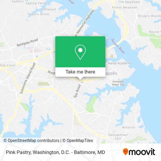
See Pink Pastry, Anne Arundel County, on the map
Public Transit to Pink Pastry in Anne Arundel County
Wondering how to get to Pink Pastry in Anne Arundel County? Moovit helps you find the best way to get to Pink Pastry with step-by-step directions from the nearest public transit station.
Moovit provides free maps and live directions to help you navigate through your city. View schedules, routes, timetables, and find out how long does it take to get to Pink Pastry in real time.
Looking for the nearest stop or station to Pink Pastry? Check out this list of stops closest to your destination: West St & Russell St Eb; West St. And Russell St.; West St. And Amos Garrett Blvd.; West St. And Taylor Ave..
Bus: 921, FREE ANNAPOLIS DOWNTOWN SHUTTLE, GREEN, PURPLE, 220, 230, PURPLE, ORANGE.
Want to see if there’s another route that gets you there at an earlier time? Moovit helps you find alternative routes or times. Get directions from and directions to Pink Pastry easily from the Moovit App or Website.
We make riding to Pink Pastry easy, which is why over 1.7 million users, including users in Anne Arundel County, trust Moovit as the best app for public transit. You don’t need to download an individual bus app or train app, Moovit is your all-in-one transit app that helps you find the best bus time or train time available.
For information on prices of bus and train, costs and ride fares to Pink Pastry, please check the Moovit app.
Use the app to navigate to popular places including to the airport, hospital, stadium, grocery store, mall, coffee shop, school, college, and university.
Pink Pastry Address: 913 West St street in Anne Arundel County
- WESTIN-Annapolis,
- Annapolis, Maryland,
- Blue Angels Aircrew Memorial,
- US Naval Academy Stadium,
- Abney Ln (obery court abney),
- Carefirst Bluecross Blueshield (Blue Cross & Blue Shield),
- Navy-Marine Corps Memorial Stadium,
- West St (west st & calvert st),
- Whitehall Gallery,
- Anne Arundel County Courthouse,
- Anne Arundel County Jury Duty,
- Gibson Island,
- FedEx,
- State Capitol Building,
- Asian Massage by Tanya Wu,
- Anne Arundel,
- Annapolis, Maryland,
- South River Colony,
- Pine Tree Associates - Nudist Club,
- Route 450 at Usna Gate 8
Places Near Pink Pastry (Anne Arundel County)
- Rock Creek Tennis Center, Washington,
- National Zoo, Washington,
- PG Mall, Prince George's County,
- Amazon Hq2, Arlington County,
- Museum Of The Bible, Washington,
- The Anthem, Washington,
- Sibley Memorial Hospital, Washington,
- M&T Bank Stadium, Baltimore,
- National Museum of African American History and Culture, Washington,
- Capital One Arena, Washington,
- Georgetown, Washington,
- National Theatre, Washington,
- Warner Theatre, Washington,
- Westfield Montgomery Mall, Montgomery County,
- Washington National Cathedral, Washington,
- Basilica of the National Shrine, Washington,
- Marriott Marquis Washington, DC, Washington,
- Washington DC VA Medical Center, Washington,
- Pennsylvania Ave NW (3rd st and pennsylvania), Washington,
- Camden Yards, Baltimore
How to get to popular places in Washington, D.C. - Baltimore, MD with public transit
Get around Anne Arundel County by public transit!
Traveling around Anne Arundel County has never been so easy. See step by step directions as you travel to any attraction, street or major public transit station. View bus and train schedules, arrival times, service alerts and detailed routes on a map, so you know exactly how to get to anywhere in Anne Arundel County.
When traveling to any destination around Anne Arundel County use Moovit's Live Directions with Get Off Notifications to know exactly where and how far to walk, how long to wait for your line, and how many stops are left. Moovit will alert you when it's time to get off — no need to constantly re-check whether yours is the next stop.
Wondering how to use public transit in Anne Arundel County or how to pay for public transit in Anne Arundel County? Moovit public transit app can help you navigate your way with public transit easily, and at minimum cost. It includes public transit fees, ticket prices, and costs. Looking for a map of Anne Arundel County public transit lines? Moovit public transit app shows all public transit maps in Anne Arundel County with all Bus, Train, Metro, Light Rail and Ferry routes and stops on an interactive map.
Washington, D.C. - Baltimore, MD has 5 transit type(s), including: Bus, Train, Metro, Light Rail and Ferry, operated by several transit agencies, including WMATA, Montgomery County Ride On, Fairfax Connector, TheBus, PRTC, DASH - Alexandria, Arlington Transit (ART), RTA of Central Maryland, MDOT MTA, MDOT MTA Light RailLink, MDOT MTA Commuter Bus, MDOT MTA Local Bus, FXBGO!, Virginia Railway Express (VRE) and MARC