How to get to Pioneer Vallet Ent by bus?
Click on the bus route to see step by step directions with maps, line arrival times and updated time schedules.
From South High Community School, Worcester
261 minFrom Worcester, MA, Worcester
178 minFrom Registry Of Motor Vehicles (Rmv) Branch Office, Worcester
182 minFrom Palladium, Worcester
183 minFrom Gardner, MA, Gardner
205 minFrom Foxwoods, Worcester
194 minFrom Quinsigamond Community College, Worcester
182 min
How to get to Pioneer Vallet Ent by train?
Click on the train route to see step by step directions with maps, line arrival times and updated time schedules.
Bus stops near Pioneer Vallet Ent in Boston
Train station near Pioneer Vallet Ent in Boston
- Northampton, 37 min walk,VIEW
Bus lines to Pioneer Vallet Ent in Boston
What are the closest stations to Pioneer Vallet Ent?
The closest stations to Pioneer Vallet Ent are:
- Main / Chestnut is 108 yards away, 2 min walk.
- Florence Center (Outbound) is 307 yards away, 4 min walk.
- Northampton is 3018 yards away, 37 min walk.
Which bus lines stop near Pioneer Vallet Ent?
These bus lines stop near Pioneer Vallet Ent: 31, G73E, R42, R44.
Which train line stops near Pioneer Vallet Ent?
VERMONTER (St Albans)
What’s the nearest bus station to Pioneer Vallet Ent in Boston?
The nearest bus station to Pioneer Vallet Ent in Boston is Main / Chestnut. It’s a 2 min walk away.
What time is the first train to Pioneer Vallet Ent in Boston?
The VALLEY FLYER is the first train that goes to Pioneer Vallet Ent in Boston. It stops nearby at 6:30 AM.
What time is the last train to Pioneer Vallet Ent in Boston?
The VALLEY FLYER is the last train that goes to Pioneer Vallet Ent in Boston. It stops nearby at 10:07 PM.
What time is the first bus to Pioneer Vallet Ent in Boston?
The R42 is the first bus that goes to Pioneer Vallet Ent in Boston. It stops nearby at 5:54 AM.
What time is the last bus to Pioneer Vallet Ent in Boston?
The 904 is the last bus that goes to Pioneer Vallet Ent in Boston. It stops nearby at 8:45 PM.
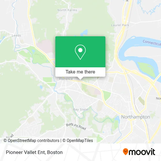
See Pioneer Vallet Ent, Boston, on the map
Public Transit to Pioneer Vallet Ent in Boston
Wondering how to get to Pioneer Vallet Ent in Boston? Moovit helps you find the best way to get to Pioneer Vallet Ent with step-by-step directions from the nearest public transit station.
Moovit provides free maps and live directions to help you navigate through your city. View schedules, routes, timetables, and find out how long does it take to get to Pioneer Vallet Ent in real time.
Looking for the nearest stop or station to Pioneer Vallet Ent? Check out this list of stops closest to your destination: Main / Chestnut; Florence Center (Outbound); Northampton.
Bus: 31, G73E, R42, R44, 904.Train: VERMONTER, VALLEY FLYER.
Want to see if there’s another route that gets you there at an earlier time? Moovit helps you find alternative routes or times. Get directions from and directions to Pioneer Vallet Ent easily from the Moovit App or Website.
We make riding to Pioneer Vallet Ent easy, which is why over 1.7 million users, including users in Boston, trust Moovit as the best app for public transit. You don’t need to download an individual bus app or train app, Moovit is your all-in-one transit app that helps you find the best bus time or train time available.
For information on prices of bus and train, costs and ride fares to Pioneer Vallet Ent, please check the Moovit app.
Use the app to navigate to popular places including to the airport, hospital, stadium, grocery store, mall, coffee shop, school, college, and university.
Pioneer Vallet Ent Address: 15 Straw Ave Ste 4 street in Boston
- Robert Goodman Dr,
- Susan Mosler MD,
- Pompilli Kenneth,
- Carolyn J Kendall do,
- Silk Mill,
- Sleep Medicine Service,
- Saltzman Craig A,
- Fred Mudawwar MD,
- Bike Path Phone,
- Tremblay Marie DMD,
- Robert Bissell MD,
- Diana Johanson MD,
- Katherine Kelly FNP,
- Catherine Bartlett,
- Jana Cable MD,
- Advanced Small Engine,
- Molly Montgomery Painting,
- Berens Mark DVM,
- Haydenville Public Library,
- Valley Kids Pediatric Dentistry
Places Near Pioneer Vallet Ent (Boston)
- Faneuil Hall, Boston,
- Mgm Music Hall, Boston,
- Boston Children's Hospital, Boston,
- Td Garden, Boston,
- House Of Blues, Boston,
- North End, Boston,
- Museum Of Science, Boston,
- Seaport District, Boston,
- Boston Common, Boston,
- Wilbur Theatre, Boston,
- Cheers, Boston,
- Leader Bank Pavilion (Leader Bank Pavillion), Boston,
- Boston Medical Center, Boston,
- Boston Convention & Exhibition Center, Boston,
- Prudential Center, Boston,
- Massachusetts General Hospital, Boston,
- Wang Theater, Boston,
- Castle Island, Boston,
- Isabella Stewart Gardner Museum, Boston,
- Quincy Market, Boston
How to get to popular places in Boston with public transit
Get around Boston by public transit!
Traveling around Boston has never been so easy. See step by step directions as you travel to any attraction, street or major public transit station. View bus and train schedules, arrival times, service alerts and detailed routes on a map, so you know exactly how to get to anywhere in Boston.
When traveling to any destination around Boston use Moovit's Live Directions with Get Off Notifications to know exactly where and how far to walk, how long to wait for your line, and how many stops are left. Moovit will alert you when it's time to get off — no need to constantly re-check whether yours is the next stop.
Wondering how to use public transit in Boston or how to pay for public transit in Boston? Moovit public transit app can help you navigate your way with public transit easily, and at minimum cost. It includes public transit fees, ticket prices, and costs. Looking for a map of Boston public transit lines? Moovit public transit app shows all public transit maps in Boston with all Bus, Train, Subway and Ferry routes and stops on an interactive map.
Boston has 4 transit type(s), including: Bus, Train, Subway and Ferry, operated by several transit agencies, including MBTA, Southeastern Regional Transit Authority, MetroWest Regional Transit Authority, Rhode Island Public Transit Authority, WRTA, Lowell Regional Transit Authority, Merrimack Valley Transit, Montachusett Regional Transit Authority, Cape Cod Regional Transit Authority, Brockton Area Transit Authority, Martha's Vineyard Transit Authority, the WAVE - Nantucket Regional Transit Authority, GATRA, Cape Ann Transportation Authority and Massport