Directions to Pkm General Contracting (Peabody) with public transportation
The following transit lines have routes that pass near Pkm General Contracting
 Bus: 435, 436, SATURDAY MALL SHUTTLE.
How to get to Pkm General Contracting by bus?
Click on the bus route to see step by step directions with maps, line arrival times and updated time schedules.
Bus stops near Pkm General Contracting in Peabody
Bus lines to Pkm General Contracting in Peabody
What are the closest stations to Pkm General Contracting?
The closest stations to Pkm General Contracting are:
- Opp 10 Sylvan St is 510 yards away, 7 min walk.
- Northshore Mall at Jc Penney Entrance is 1161 yards away, 14 min walk.
Which bus lines stop near Pkm General Contracting?
These bus lines stop near Pkm General Contracting: 435, 436.
What’s the nearest bus station to Pkm General Contracting in Peabody?
The nearest bus station to Pkm General Contracting in Peabody is Opp 10 Sylvan St. It’s a 7 min walk away.
What time is the first bus to Pkm General Contracting in Peabody?
The 435 is the first bus that goes to Pkm General Contracting in Peabody. It stops nearby at 6:33 AM.
What time is the last bus to Pkm General Contracting in Peabody?
The 435 is the last bus that goes to Pkm General Contracting in Peabody. It stops nearby at 11:19 PM.
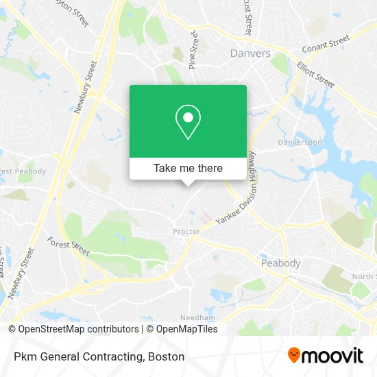
See Pkm General Contracting, Peabody, on the map
Public Transit to Pkm General Contracting in Peabody
Wondering how to get to Pkm General Contracting in Peabody? Moovit helps you find the best way to get to Pkm General Contracting with step-by-step directions from the nearest public transit station.
Moovit provides free maps and live directions to help you navigate through your city. View schedules, routes, timetables, and find out how long does it take to get to Pkm General Contracting in real time.
Looking for the nearest stop or station to Pkm General Contracting? Check out this list of stops closest to your destination: Opp 10 Sylvan St; Northshore Mall at Jc Penney Entrance.
Bus: 435, 436, SATURDAY MALL SHUTTLE.
Want to see if there’s another route that gets you there at an earlier time? Moovit helps you find alternative routes or times. Get directions from and directions to Pkm General Contracting easily from the Moovit App or Website.
We make riding to Pkm General Contracting easy, which is why over 1.7 million users, including users in Peabody, trust Moovit as the best app for public transit. You don’t need to download an individual bus app or train app, Moovit is your all-in-one transit app that helps you find the best bus time or train time available.
For information on prices of bus and train, costs and ride fares to Pkm General Contracting, please check the Moovit app.
Use the app to navigate to popular places including to the airport, hospital, stadium, grocery store, mall, coffee shop, school, college, and university.
Pkm General Contracting Address: 22 Essex Ln street in Peabody
- Dermatology Center of the North Shore,
- Mack Realty Group,
- Macy's,
- Injuries Physical Ligament Therapy Therapist,
- Beverly Radiology Assoc,
- J Weiter John MD PHD,
- Dr Inhwan Hong PC,
- Felton Cemetery,
- Northshore Mall Playspace,
- Ati Physical Therapy,
- Metro Credit Union,
- Petmedic Urgent Care Vet Clinic,
- Drapery Care,
- Personal Injury Peabody Lawyer,
- Verizon Wireless,
- Coinstar,
- STARBUCKS,
- Ea-Teriyaki Japanese Grill,
- Bally Total Fitness,
- Gentiana Salon Spa Boutique
Places Near Pkm General Contracting (Peabody)
- Massachusetts General Hospital, Boston,
- Boston Children's Hospital, Boston,
- Mgm Music Hall, Boston,
- Isabella Stewart Gardner Museum, Boston,
- Boston Common, Boston,
- Castle Island, Boston,
- Leader Bank Pavilion (Leader Bank Pavillion), Boston,
- Wilbur Theatre, Boston,
- Seaport District, Boston,
- Quincy Market, Boston,
- Boston Convention & Exhibition Center, Boston,
- House Of Blues, Boston,
- Td Garden, Boston,
- Prudential Center, Boston,
- Museum Of Science, Boston,
- Boston Medical Center, Boston,
- Wang Theater, Boston,
- Cheers, Boston,
- Faneuil Hall, Boston,
- North End, Boston
How to get to popular places in Boston with public transit
Get around Peabody by public transit!
Traveling around Peabody has never been so easy. See step by step directions as you travel to any attraction, street or major public transit station. View bus and train schedules, arrival times, service alerts and detailed routes on a map, so you know exactly how to get to anywhere in Peabody.
When traveling to any destination around Peabody use Moovit's Live Directions with Get Off Notifications to know exactly where and how far to walk, how long to wait for your line, and how many stops are left. Moovit will alert you when it's time to get off — no need to constantly re-check whether yours is the next stop.
Wondering how to use public transit in Peabody or how to pay for public transit in Peabody? Moovit public transit app can help you navigate your way with public transit easily, and at minimum cost. It includes public transit fees, ticket prices, and costs. Looking for a map of Peabody public transit lines? Moovit public transit app shows all public transit maps in Peabody with all Bus, Train, Subway and Ferry routes and stops on an interactive map.
Boston has 4 transit type(s), including: Bus, Train, Subway and Ferry, operated by several transit agencies, including MBTA, Southeastern Regional Transit Authority, MetroWest Regional Transit Authority, Rhode Island Public Transit Authority, WRTA, Lowell Regional Transit Authority, Merrimack Valley Transit, Montachusett Regional Transit Authority, Cape Cod Regional Transit Authority, Brockton Area Transit Authority, Martha's Vineyard Transit Authority, the WAVE - Nantucket Regional Transit Authority, GATRA, Cape Ann Transportation Authority and Massport